
Hi,
After the exciting part of the hike, a visit to The Second Yarmouk bridge (Jiser El-Hamme), went down to deviation dam on the Yarmouk. That dam is part of Israel-Jordan water share agreements.
The agreements are part of Israel – Jordan peace treaty, signed on 1994 and divide the water of the Yarmouk river as of the Jordan river. In which Israel had agreed to give over 75% of the water of Yarmouk river.
The treaty also included Israel to give over 50 million cubic meter of water to Jordan. This amount was increased by 25 million more after the failed assesination attempt in Khaled Mashal, on 1997.
Those numbers are coming from Johnston Plan (Jordan Valley Unified Water Plan), which was made by US ambassador Eric Johnston on the 1950s’, trying to solve the War on the Water. This war handled over the water resources of the Jordan river. On one side stood Israel, on the water the Arab countries of Lebanon, Syria and Jordan.
Each of those countries took the responsibility to divert one of the rivers: Lebanon divert the Hazbani to the Banias, Syria diverted The Banias to the Jordan, Jordan diverted the Jordan river to her Agricultural fields using the water.
In 2000, Syria had built a new dam, Al-Wehda Dam, up on the stream of the Yarmouk to collect its water as part of her water agreement with Jordan. It collects some 75% of its water. This is why, even after such a storm we had in the days before (flow after a rare event of the a Mediterranean tropical-like cyclone – Elaina)
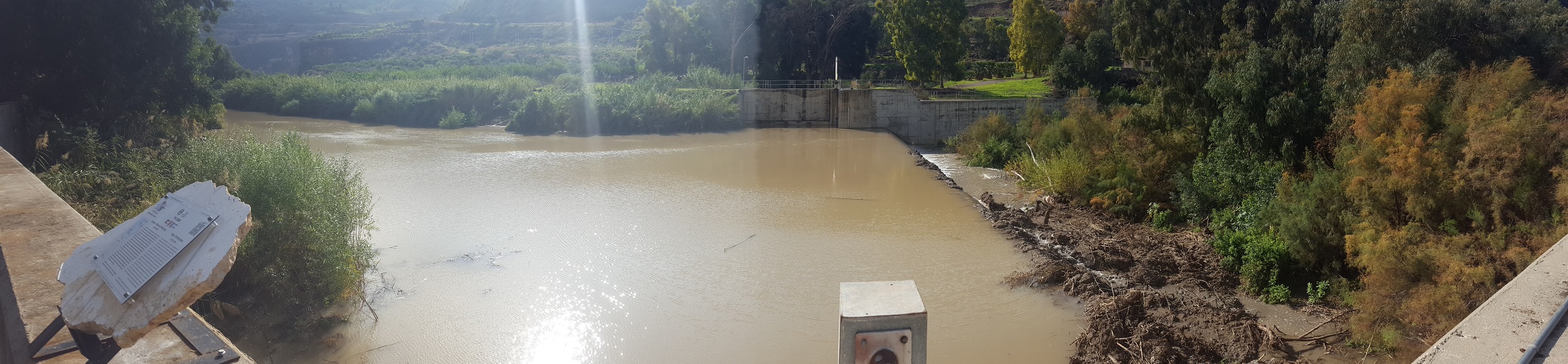
We were visiting the Dam that diverted the water of the Yarmouk to King Abdullah Canal, which leads the water south to the agriculture fields an cities of Jordan.
Take Care
Gad
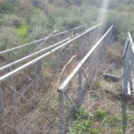
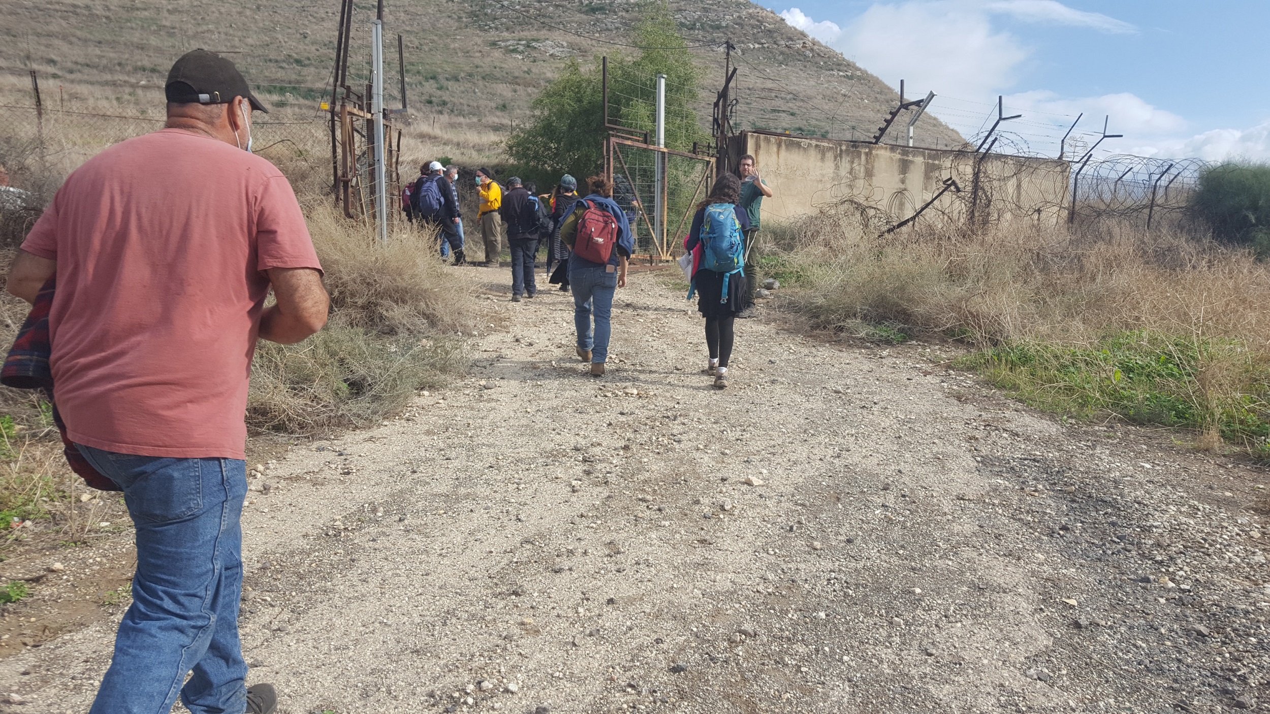
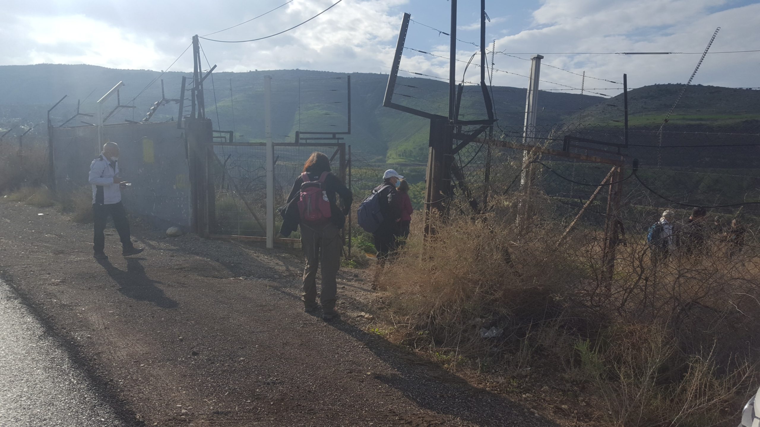 Crossing the border fence
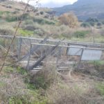
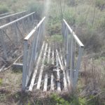
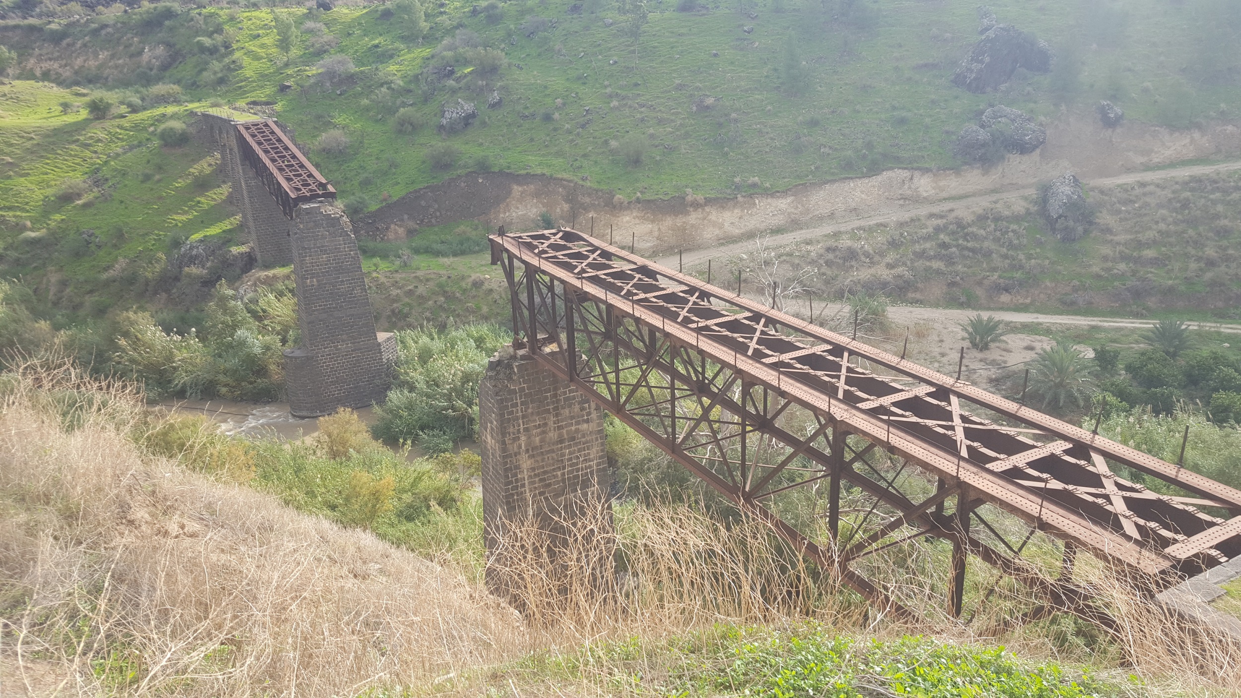 The Second Yarmouk bridge (Jiser El-Hamme), we been to before going down to the Yarmouk
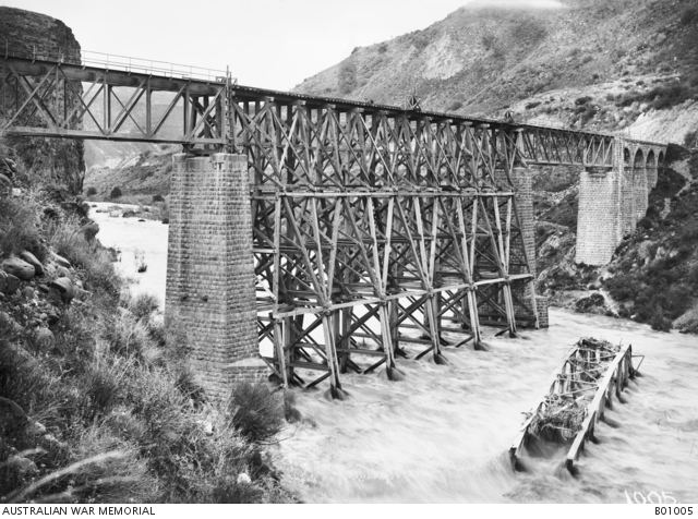 The rebuilt railway bridge over the Yarmuk River (1918). Note the destroyed section lying in the past flowing river. Look on the amount of water flowing under the bridge then… (Source: Australian war memorial)
Video of the bridge and the Yarmouk river below
Guess you would expect a stronger flow after a rare event of the a Medicane – Elaina
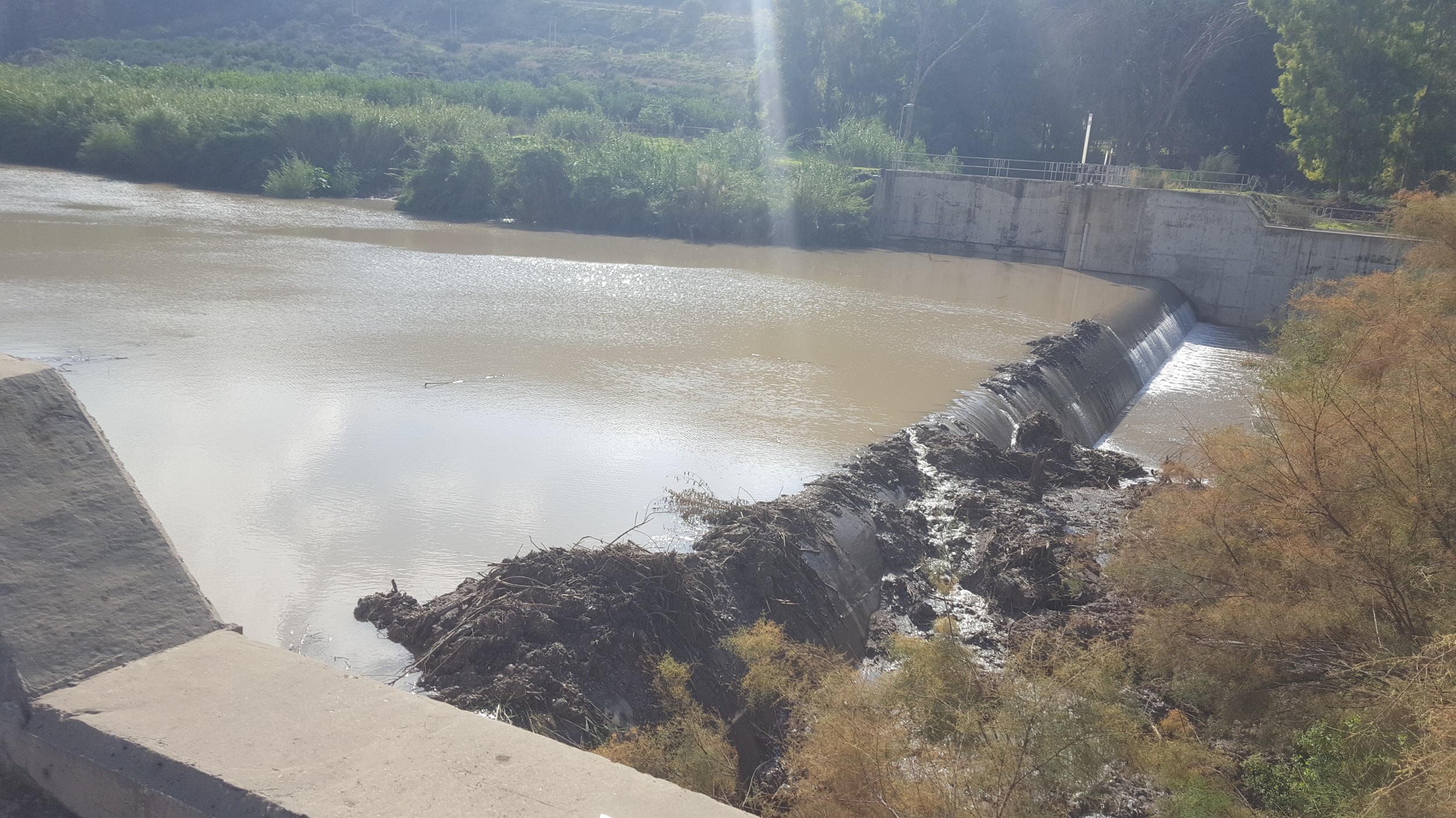
 The reservoir behind the dam. The water of Israel keeps flowing in the Yarmouk river to the right (West), the water of Jordan going to the tunnel on top of the picture (South)
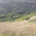
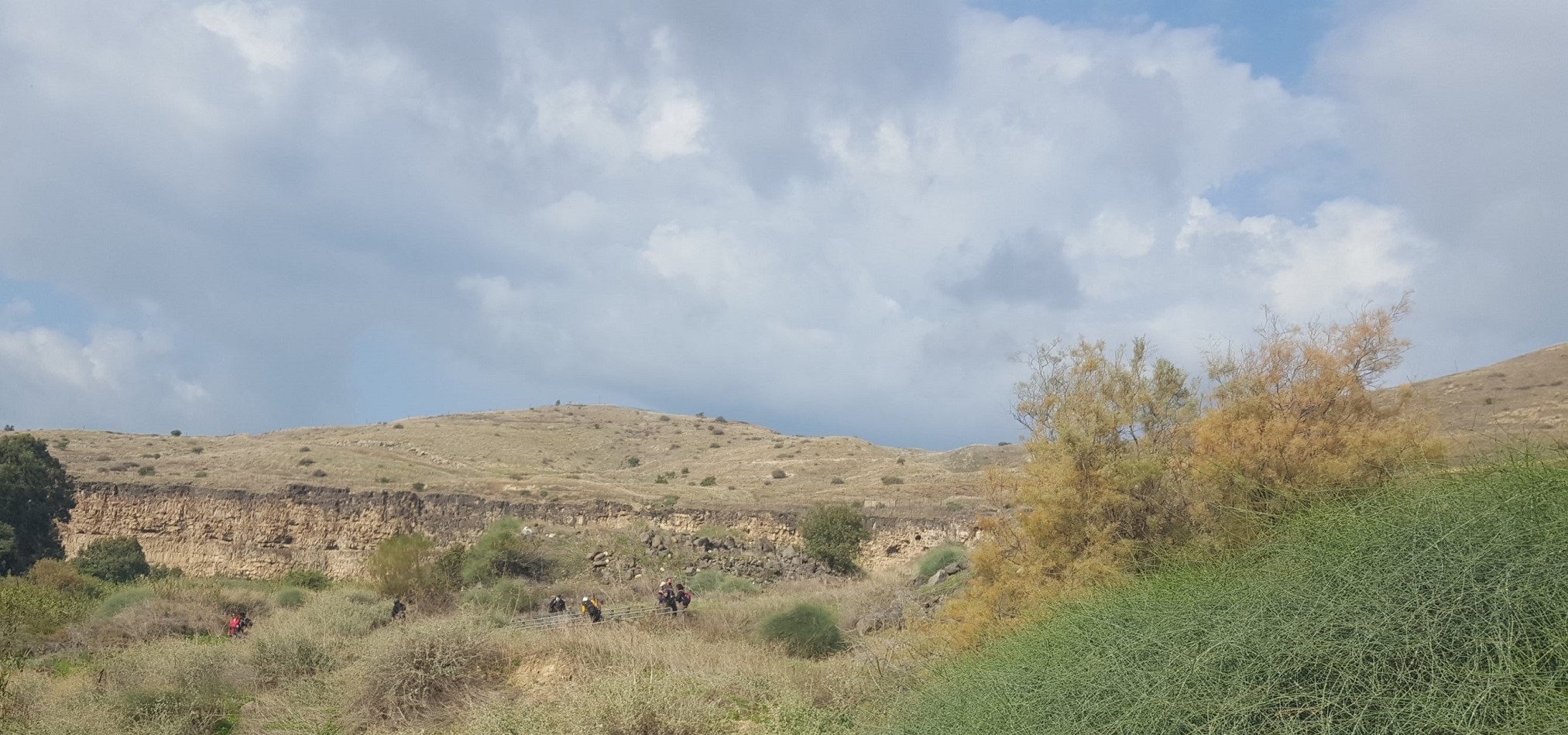
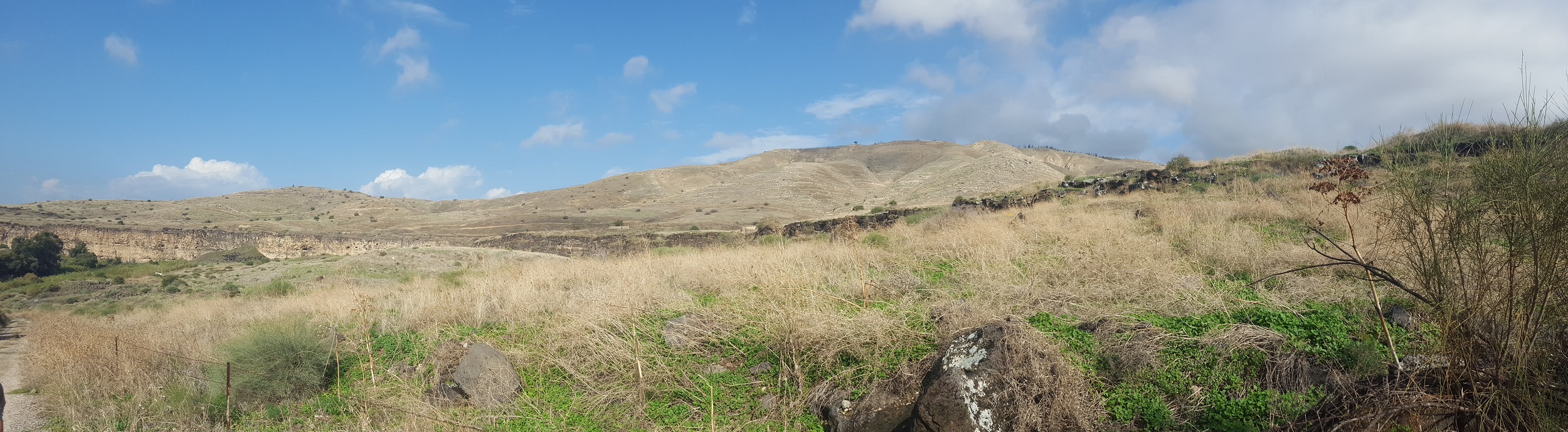 The Southern slopes of Golan Heights
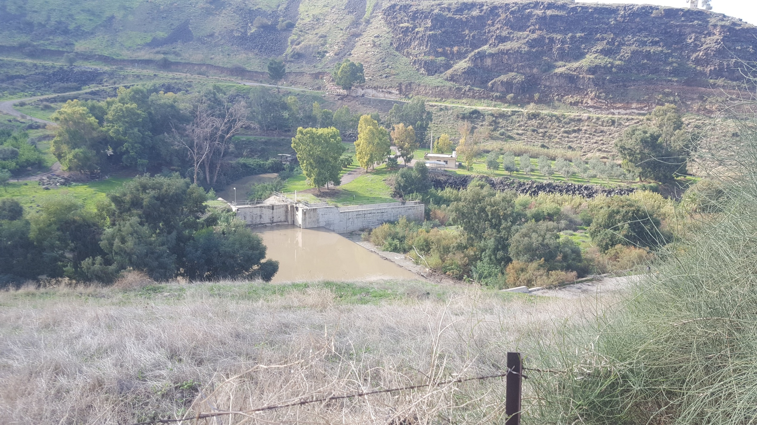
 The reservoir, the Dam (the concrete wall infront of us) and the Yarmouk flowing to the right (West)
 A bigger pic
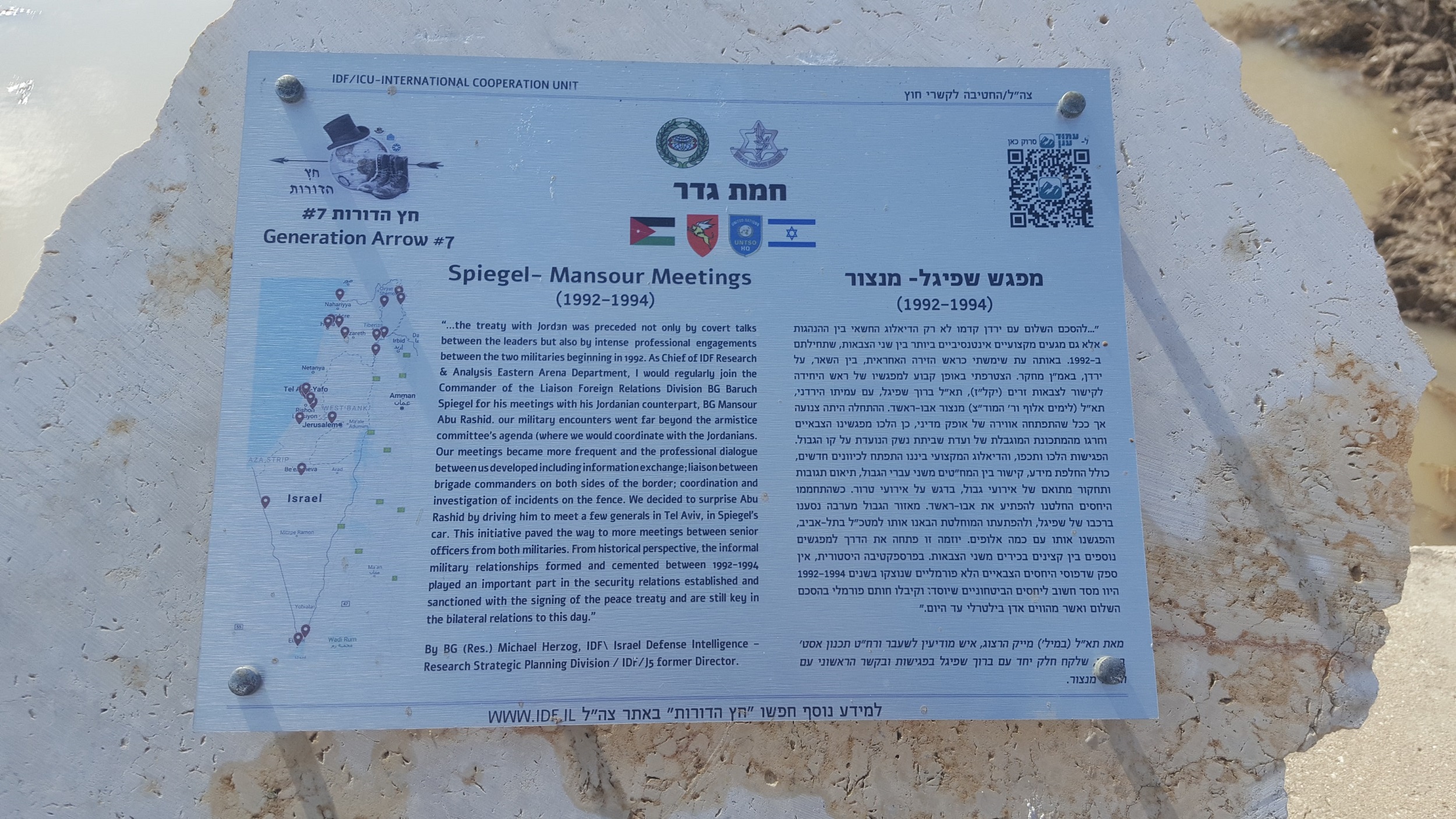 Spiegel – Mansour meetings (1992-1994). The meeting between the Generals (Spiegel from Israel and Mansour from Jordan) over the border in the years prior to the peace treaty were a good professional channel to between the armies.
 What are they doing over there in the fields? – Israel-Jordan water share
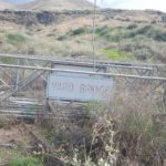
Vardi bridge, over the name of water engineer Yaakov Vardi which was the cheif water engineer of Tahal (Israel Water Design Company). The company that was responsible for most of Israel water systems. It was used for the Spiegel – Mansour meetings (When Vardi had to cross the Yarmouk to meet with the Jordanian he did it on boots)
 And crossing the border fence back to Israel
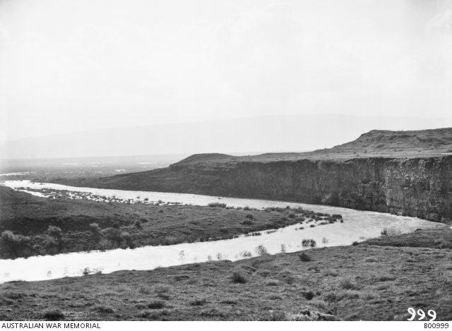 A view of the Yarmuk River on 02.1919 much wider and deeper then it is it today
loading map - please wait...