
Hi,
In the of the long drive along Israeli – Jordanian border fence along the Yarmouk river we ended up Mukheiba tunnel.
The tunnel was part of the War over water between Syria and Israel between the November 1964 to May 1967. After the building of Israel National Water Carrier, (which had to be changed due for pressure of Arab countries) the Arab countries decide prevent the water of the Jordan river to flow the Sea of Galilee (and to be used by Israel) by diverting it to the Yarmouk river.
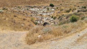
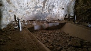
The water would have fill a lake down below the tunnel behind dam at Mukhaiba (you can see the parliamentary civil works for the foundation of the dam)
The plan would reduced Israel National Carrier capacity by 33%, and the overall amount of water in Israel by 11%. After several Israeli attacks the project had stopped and it considered to be one of the factors to Six Day War.
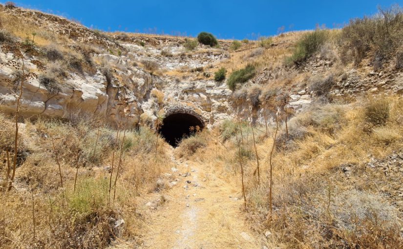
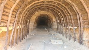
It is 150 m long and 6 m in diameter. At first look it seems like the tunnel is to allow the water to flow down the Golan Heights down to the like. But once you look on the map, the water should have go down to the Ruqqad river east of here. Some says the tunnel was build to hide and defend the dam pupms and machinery. But when you get in the tunnel you can see a concrete cast, that looks as open tunnel for water, just like Israel national carrier…
Take Care
Gad
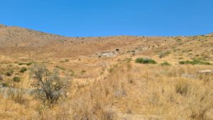
The tunnel is on the white spot
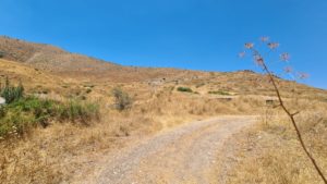
 Getting closer
Now you can almost see the tunnel
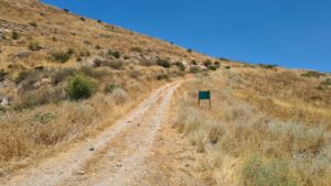 No military or civil vehicles allowed‐ syas the sign. I wonder what they have up there.
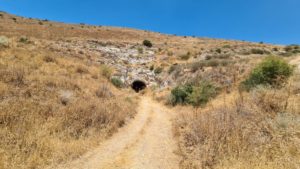 The Mukheiba tunnel
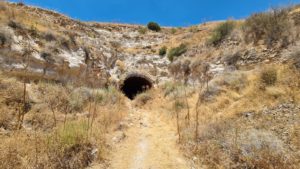 On closer look.
 The tunnel entrance – metal arches with steel plates between them strengthening the entrance.
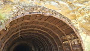 And some concrete on top of the metal arch
The plates are covered with Arabic and Hebrew graffiti
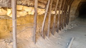
At the bottom the arches are anchored at the chalk stone
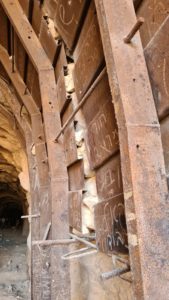 The metal sheets are sitting one inside the other.
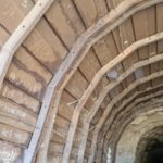
The arches are connected with steel rods
When the boring team hit a soft layer of stone the were strengthen it with anchor rods, a fence and steel plates
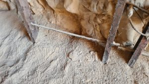
Walking in to the tunnel
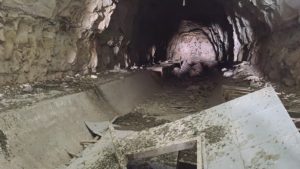
At the end of the tunnel there is what seems to be an open tunnel for water
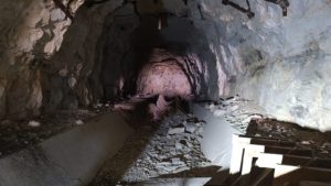
Look on the shape of the concrete cast – looks like an open tunnel for water
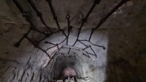
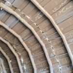
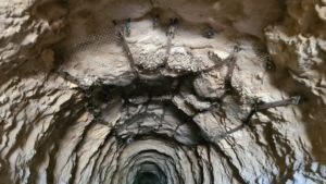
Looks like a giant spolider web on the tunnel roof
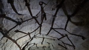 In closer look
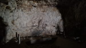 The wall at the end of the tunnel – Mukheiba tunnel
Not sure if it was for water or for equipment – Mukheiba tunnel
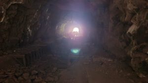 Looking back at the light at the wnd of the tunnel – Mukheiba tunnel
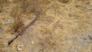 On the outside there are the railways for the little trolly that used to excavate the tunnel.
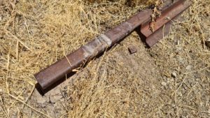
Connection detail of rails
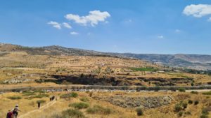
Looking south over the Yarmouk valley. In the middle of the pic there is an excavation for the foundation of the dam that was planned to be built.
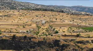 Zoom in on the excavation
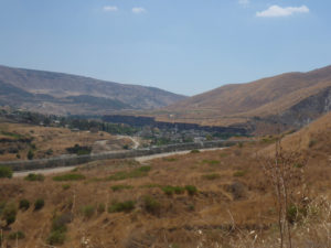
Mukheiba town in Jordan, that hosted the Yugoslavian engineers of the dam
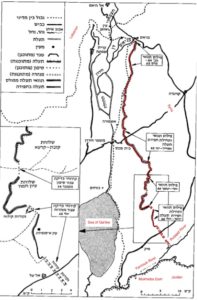
Golan Heights map and the diverting tunnel. You can see how it connect to the Ruqqad river East of the location of dam (Source: Shemesh Moshe, The Arab fight over the water with Israel)
loading map - please wait...