
Hi,
Before visiting the Second bridge over the Yarmouk (of the Hejaz railway branch to Haifa), I had some digging to find out about it. I found many pic of the Hejaz railway bridges over the Yarmouk in the internet and decided to gather it all up here ![]() (but only those along the Israeli border).
(but only those along the Israeli border).
This part of the Hejaz railway branch to Haifa, which call Jezreel valley railway had to climb 529m height difference along 73 km long on the way from Daraa to Tzemach. And all that on the slopes of the Yarmouk river. The result was 8 tunnels (1,100m long) and 14 bridges and some 315 water crossing and aqueducts
Go ahead and enjoy ![]()
You can see more pics here, and here, also of bridges outside of Isral ![]()
Take Care
gad
the 1st bridge – jiser el mujami (79km)
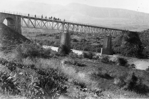
The Jezreel valley railway bridge over the Yarmuk, back on the day it was still standing (Source: www.bitmuna.com)
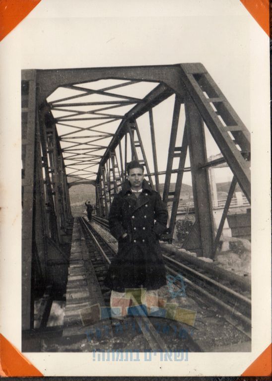 Yechiel Havasush on one of the bridges, probably the first bridge, on 1938 (Source: www.israelalbum.org.il)
The First bridge of the train over the Yarmuk is on Naharayim, and as many of the other bridges is ruined (danielventura.wikia.org)
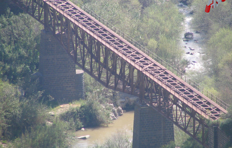
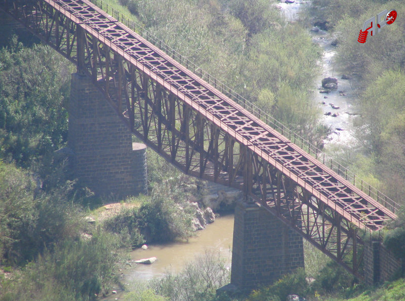
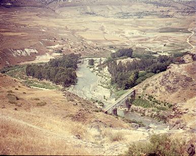
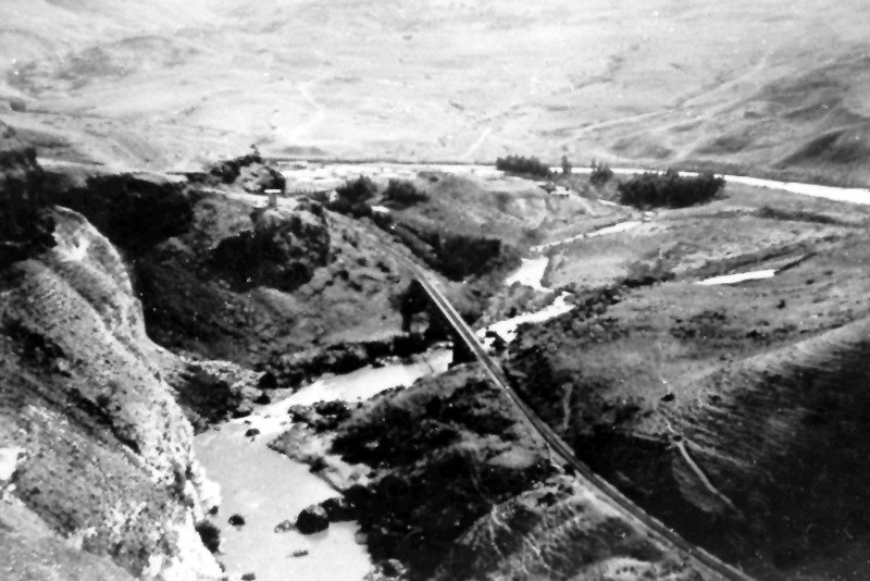
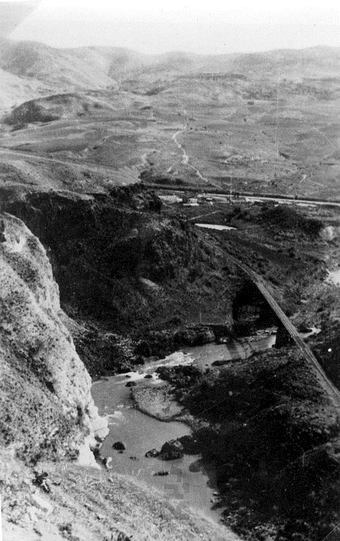
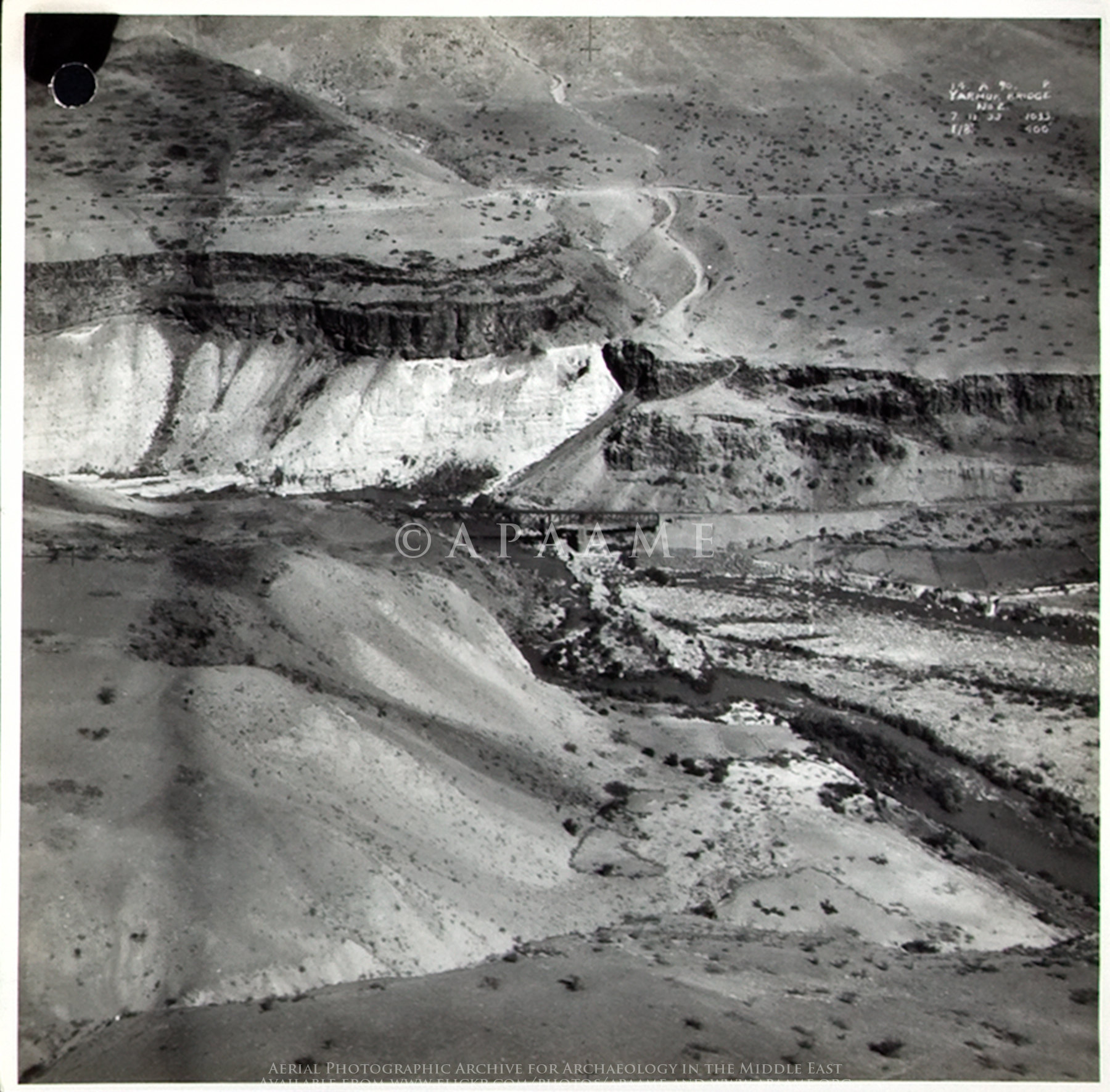
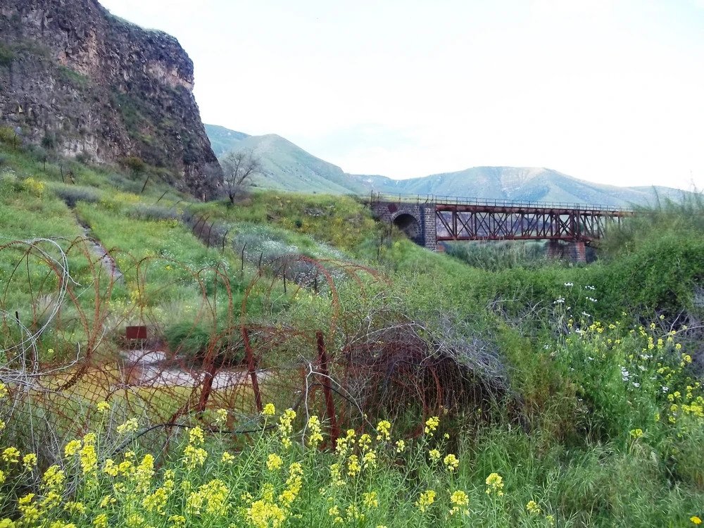
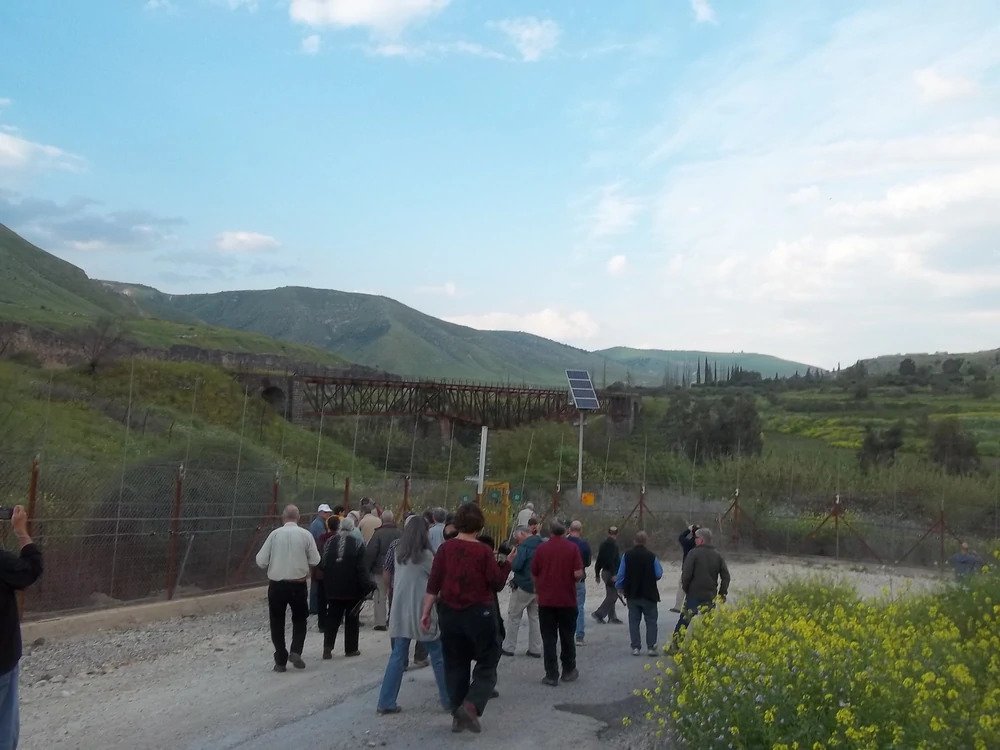
the 2nd ridge -Jiser El-Hamme(97km)
We had a hike to visit it, and you can find much about it here. We also had a visit to one of railway tunnels over the Yarmouk – an hike you can read about it over here.
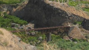
 A closer look now days
Video of the bridge and the Yarmouk river below
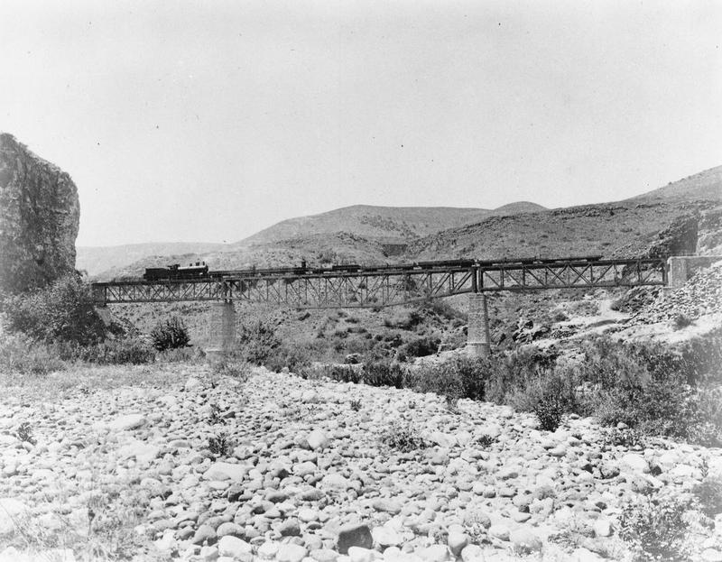
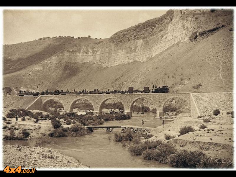
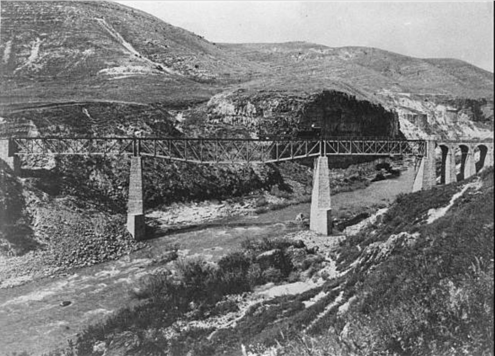 The second and largest Yarmouk Valley Bridge when it was still standing during WWI, and before first explosion (Source: GettyImages.com)
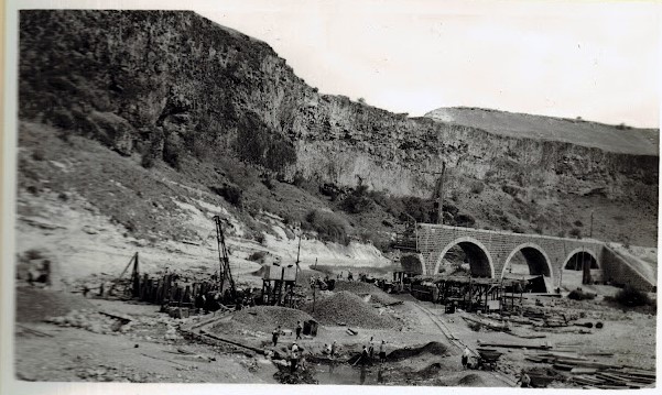
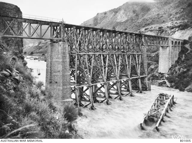 The railway bridge over the Yarmuk River, destroyed by the enemy and rebuilt by the Canadian Bridging Company. Note the destroyed section lying in the past flowing river. (Source: Australian war memorial)
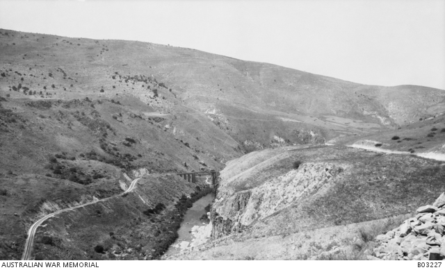 The railway line (left) and bridge over the Yarmuk River. c1918 (Source: Australian war memorial)
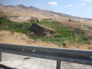
The 3rd bridge – Jiser El-Bane (93 km)
 The 3rd bridge on those days (Source: nabataea.net)
Looking West on the bridge (Source: AmudAnan.com)
Another pic from same direction (Source: AmudAnan.com)
 Pic from 1960-1970 (Source: www.israelalbum.org.il)
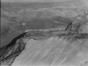
 Aerial view (Source: www.palmach.org.il)
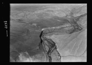
 Another aerial view from the years 1930-1940 (Source: www.israelalbum.org.il)
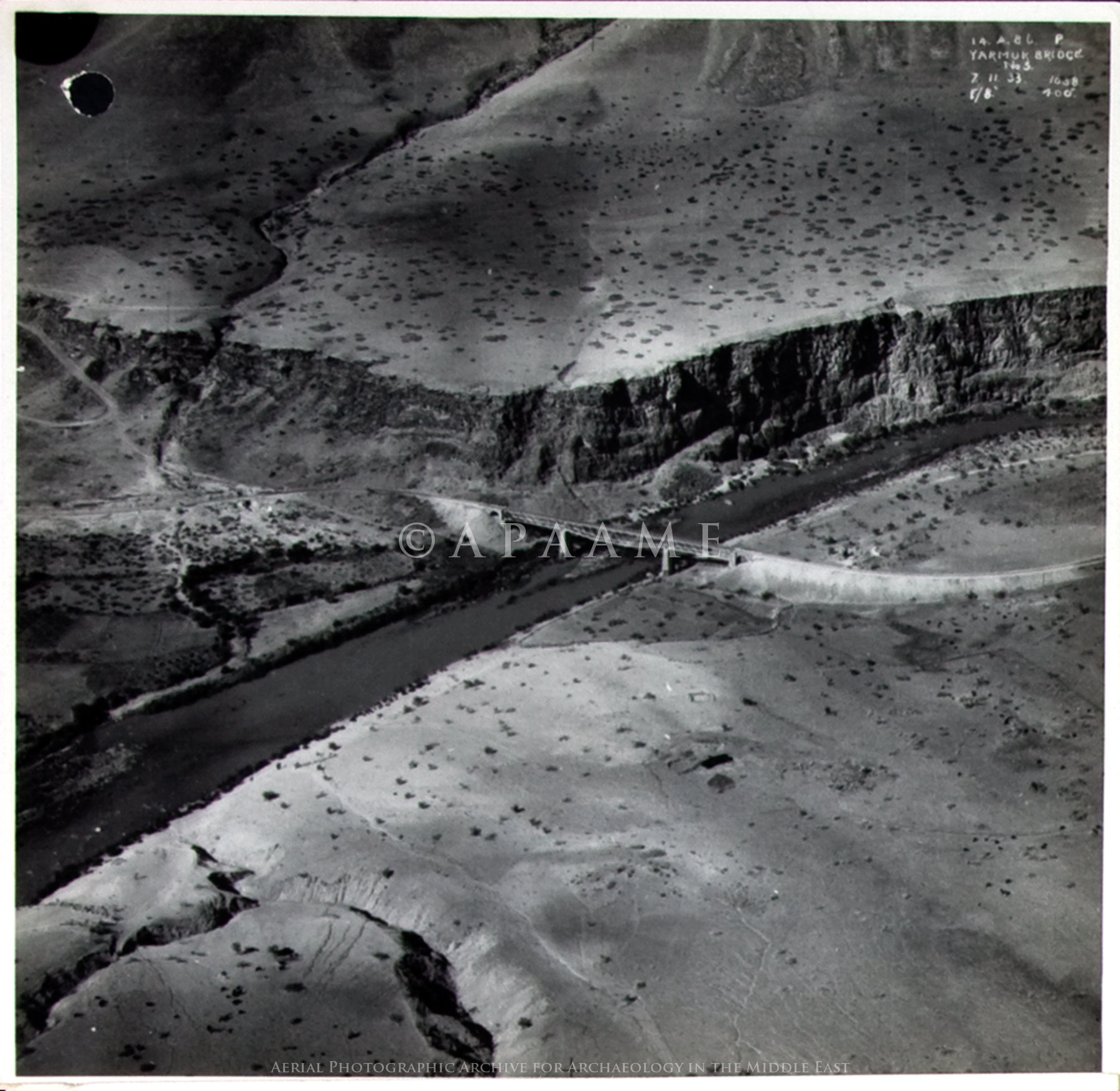
 An Ariel photo of the bridge on 1934 (Source: Royal Air Force – The National Archives)
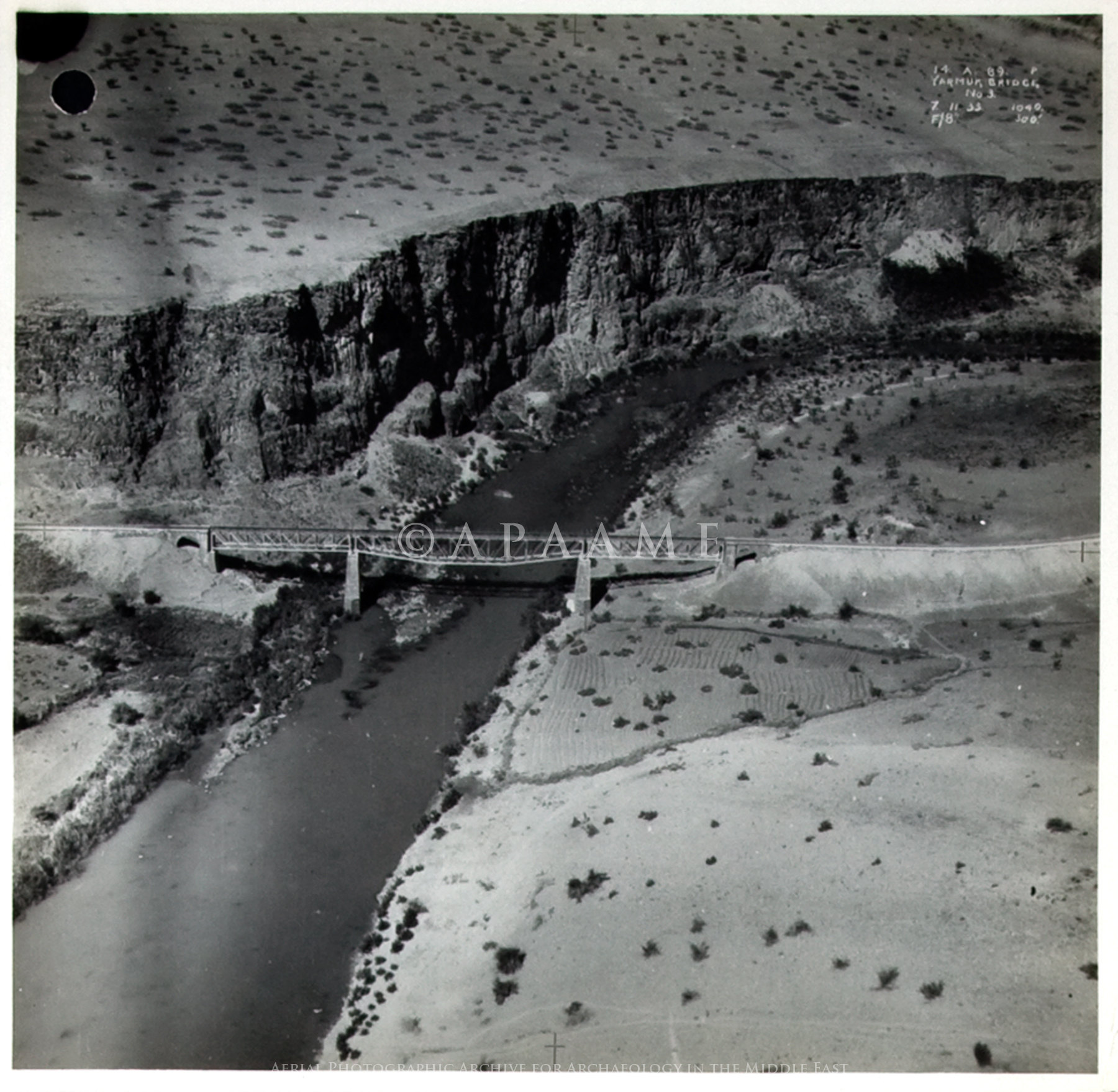
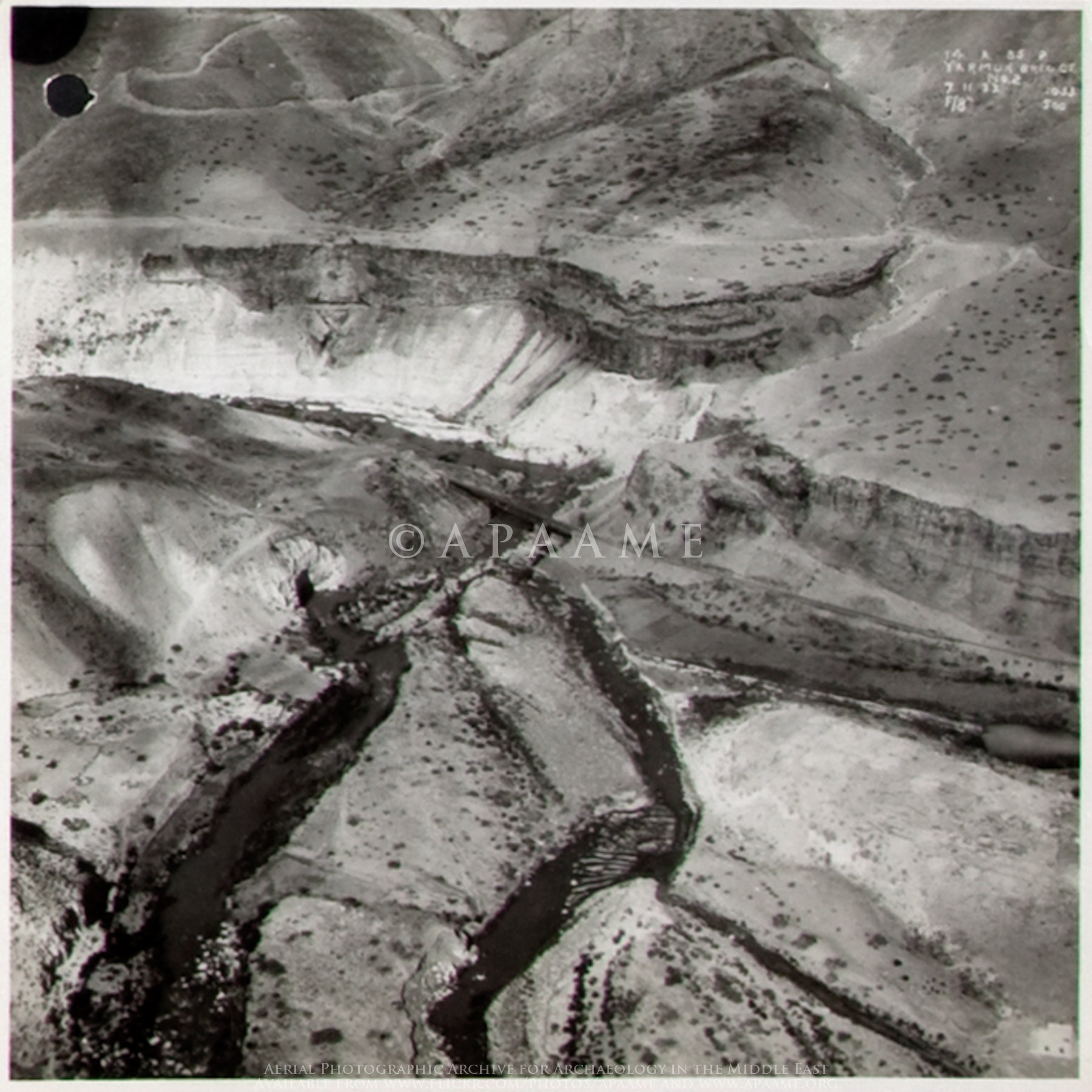 Another Ariel photo of the bridge on 1934 (Source: Royal Air Force – The National Archives)
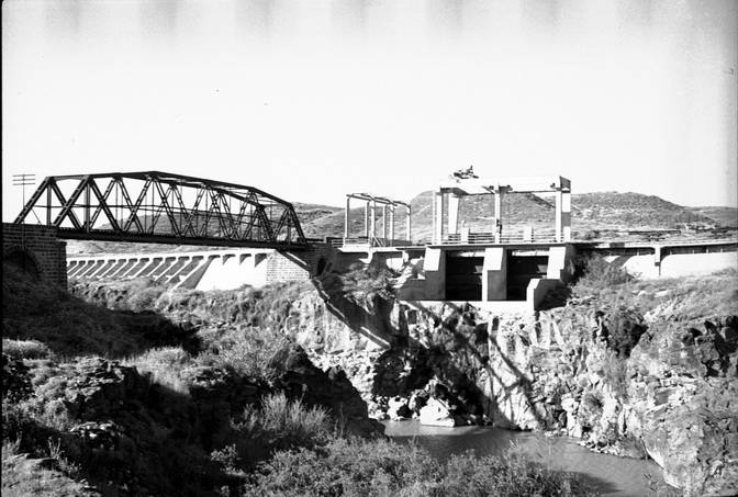
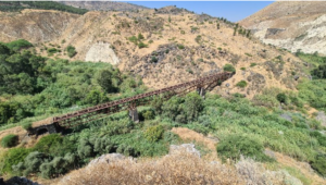
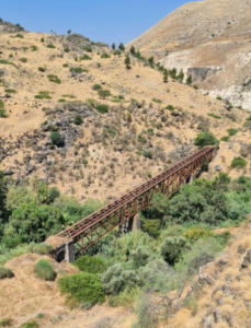
the 4th bridge
The 4th of bridge over the Yarmuk now days (Source: Amud Anan)
 The of bridge nowadays (Source: GettyImages.com)
 A closer look (Source: Amud Anan)
 From a different side (Source: danielventura.wikia.org)
 Another pic (Source: danielventura.wikia.org)
 The Fourth suspension (girder) bridge, Yarmuk Valley – from 1908 (Source: Wikimedia)
 An hike of Beit Alfa members on the bridge on the 1940s (Source: www.bitmuna.com)
An Ariel photo of the bridge on 1934 (Source: Royal Air Force – The National Archives)
Another Aerial photo of the bridge on 1934 (Source: Royal Air Force – The National Archives)
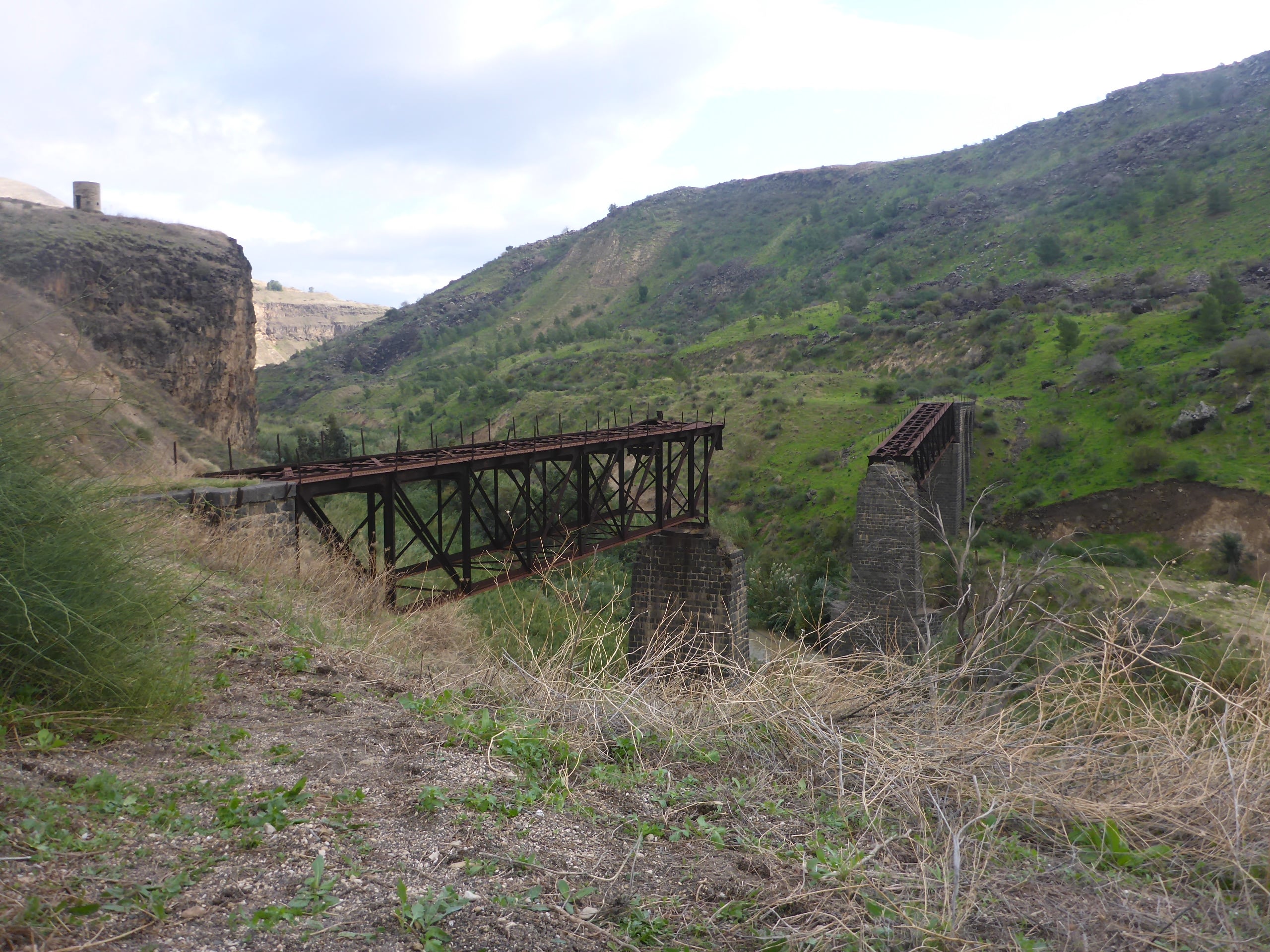
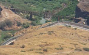
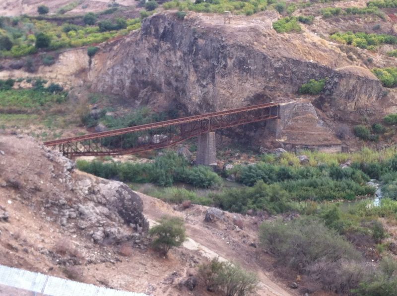
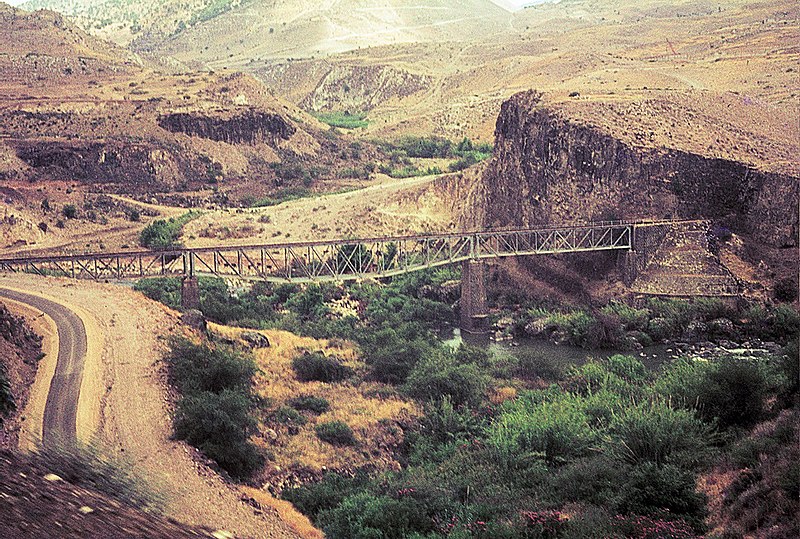
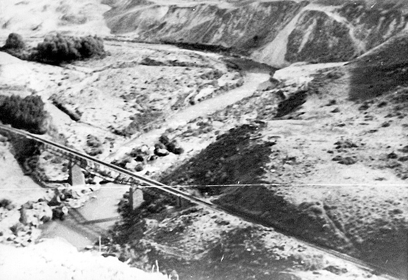
the 5th bridge – jIser sak El-Bard
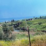
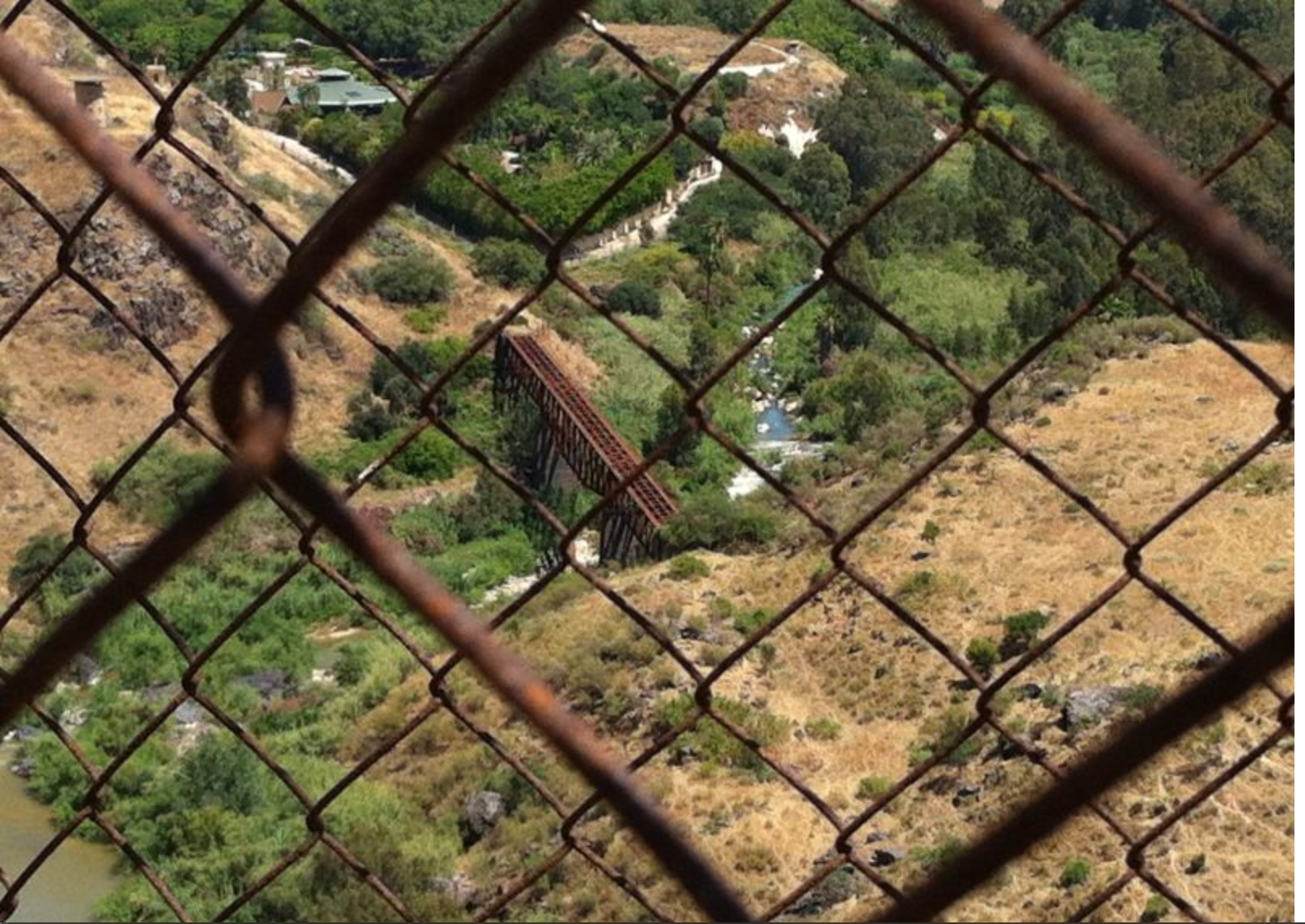
Jiser Shak El Bard bridge (from the time we were driving along the Israel – Jordan fence above the Yarmouk)
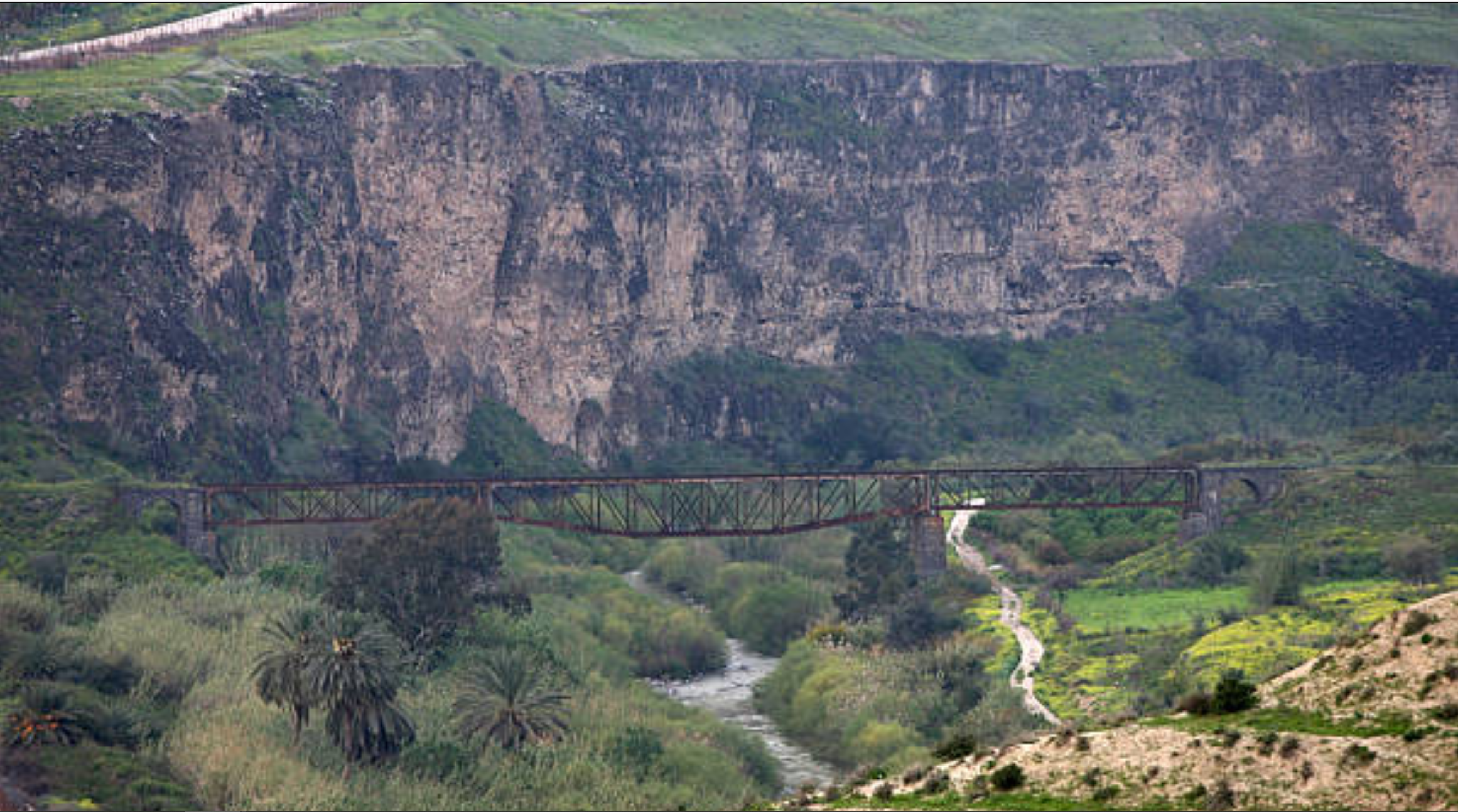
 Jiser Shak El Bard bridge on closer look (from the time we were driving along the Israel – Jordan fence above the Yarmouk)
And from a different point of view (Source: Agenda.co.il)
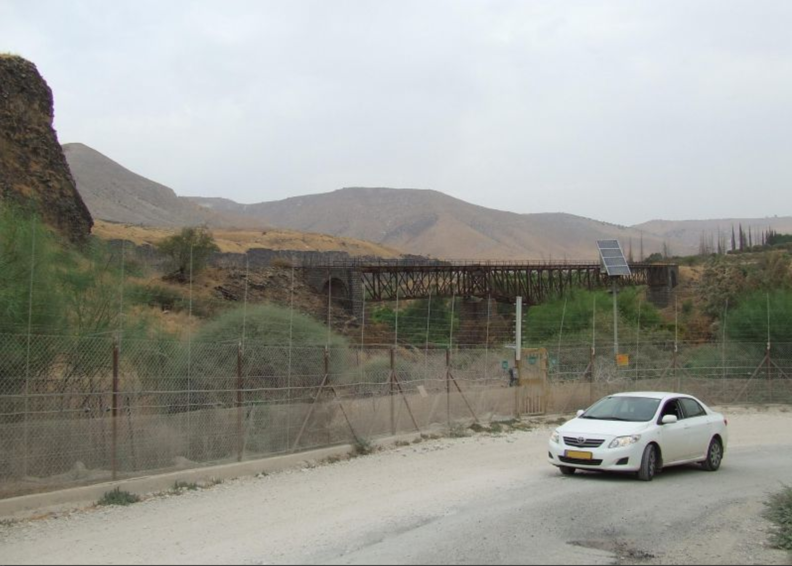
 The 5th bridge, on the border – half is under Israel and half is under Jordan (Source: Amud Anan)
 A pic from 1967 (Source: Roth Kengisberg, Wikipiki)
 (Source: www.palmach.org.il)
The 6th Bridge –
The 6th bridge- Jiser Khalid
Two Aerial photos of the bridge 1932 (Source: Wikimedia, Wikimedia) – not far from what is the border triangle
._Wadi_Yarmuk_showing_R.R._(i.e.,_railroad)_in_the_wadi_bed_and_the_bridge_of_arches_across_the_river_LOC_matpc.15963.jpg)
 PAGE 27 OF A WORLD WAR II PHOTO ALBUM Top photo Entrance to the Yarmuk Gorge near el Hamma Middle photo Railway bridge washed out at Wadi Khalid Lower photo Diversion at Wadi Khalid (Source: Flicker.com)
OVer the Israeli border
 Bridge 6 the Yarmuk, and over the border
The rain kept running from Dar’a to The Israel-Jordan-Syria border point and back as tourist train. That is until the Syrian Civil war broke out and stop it.