
Hi,
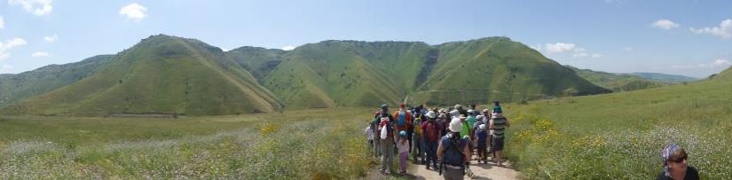
It is Passover, and all Israel is outside in the nature (or more likely on the roads). As I sometimes do, to avoid the crowd, Atzva and I looked for a special place for hiking.
“Amitim Latiyulim” offered a lovely hike – down to the Yarmouk river and to the Valley railway tunnel above it.
I have set a landmine on the Yarmouk Israeli bank, not that long ago. It is a dangerous area, it is the border triangle Israel –Syria –Jordan. Now but that was when Syrian Civil War flames are were raising and ISIS held posts in Syrian Golan heights.
Now, things are more stable, we were allowed to cross the border fence and go down to see the Yarmouk river and valley. Looking on it from above just as spring breaks it is beautiful, and going down to the water you realize you only see little from above.
Here in the Middle East – you got oil 🛢 flowing but just little water💧. You can see how both sides use each piece of land near this priceless and rare flow .
The other party of the hike was a visit to the Hejaz railway tunnel 🚂 (more accurate – to its branch: The valley railway), but this will be on a different post 🙂
Take Care
Gad
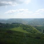
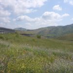
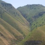
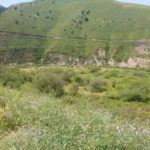
The valley from above
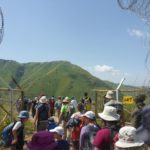
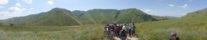
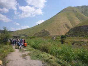
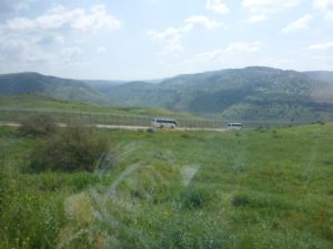 The other buses along the border fence
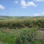
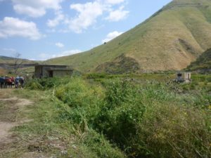
The climate here is near to sub-tropical, what allow to grow here special fruits. Those areas are closed for civilian because they near the border.
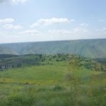
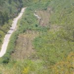
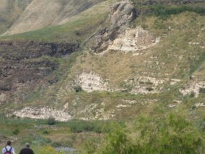
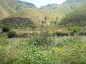
The creeks above the Yarmouk river on the Jordanian side
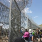
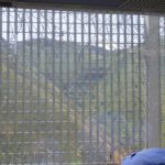
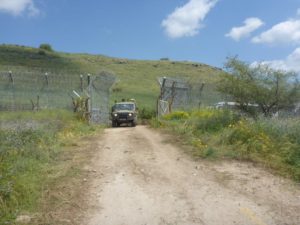
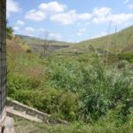
Going through the Israeli border fence
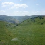
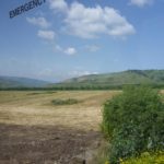
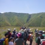
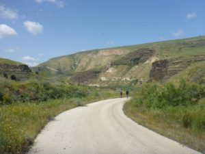
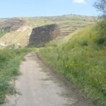
 Here the valley is wide, that is why the road goes down here. All around the Golan Heights slopes sharply into the water. And over here too, the slope is getting stiffer.
Our military escort
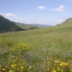
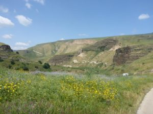
It is spring time and everything blooms, especially when none can enter here
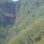
Looking over the Jordanian slopes of the Yarmouk river
 The tunnel open! Can’t see it?
Maybe now?
 Now the horizontal line along the railway go, is pretty clear – the Yarmouk river
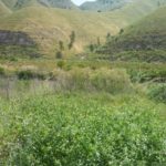
 Just a little more blooming flowers
 ![]()
See that white car on the right? Me and my friend where sure it was gazlan, and wondered how he got here. But apparently it was a white army ambulance.
Those brown spots on the trees are birds nests – the Yarmouk river
Birds twitts on nests on trees over the Yarmouk river
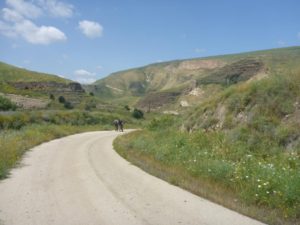
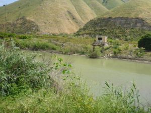
 the road along the Yarmouk river and the monitoring stations
 The Yarmouk river! Here it marks the Israeli – Jordanian border
The Yarmouk river flow
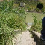
 Israeli and Jordanian water monitoring stations on the Yarmouk river
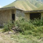
 The Jordanian water monitoring station with what seem to be left of the monitoring system
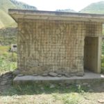
The Israeli monitoring station
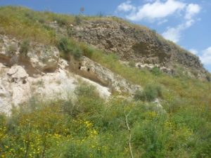 Different soil types and slopes – the Yarmouk river
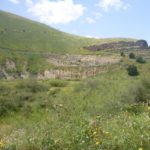
The slopes over the Yarmouk river on both sides of the border
loading map - please wait...