
Hi,
Hiking to Horvat Nahila (or Nukheile) before the war, was not on top list of hiking places. I did run from Kibbutz HaGoshrim to this area, and was thinking about hiking there, but usually I stuck to Israel National Trail.
Now when I can visit the place, when there is no threat from Hezbollah anti-tank missiles, I was eager to see the places that were inaccessible a year and a half before.
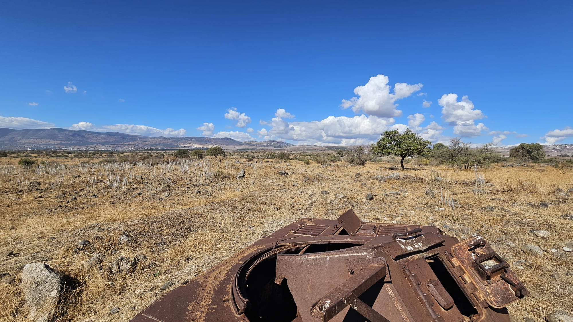
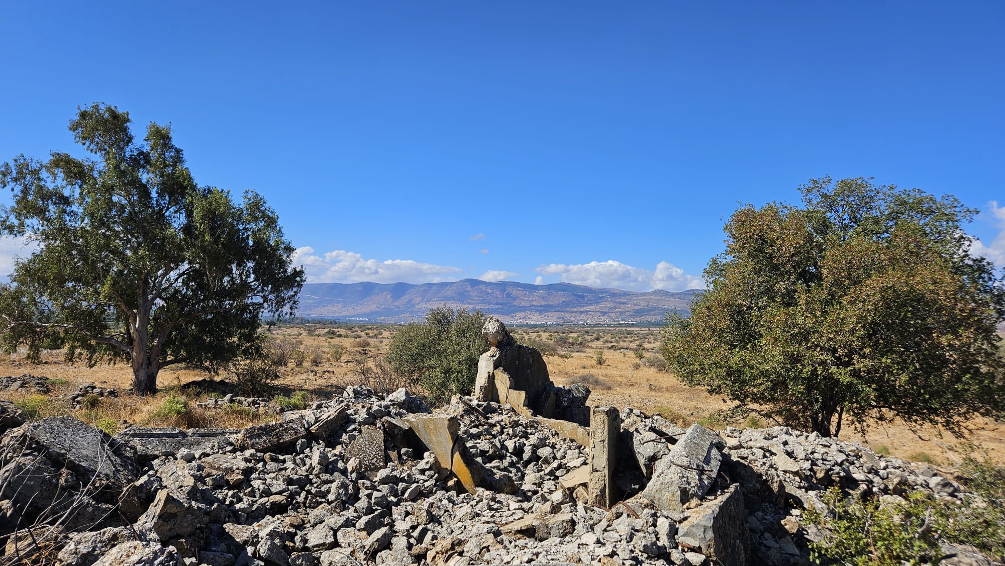
The place now holds the ruins of a Syrian village and a Syrian post that threat Kibbutz Dan until Six Day war on 1967. Near the post are the remains of a Syrian tank and a Syrian https://en.wikipedia.org/wiki/Assault_gunassault gun (which were a German Nazi WWII tank).
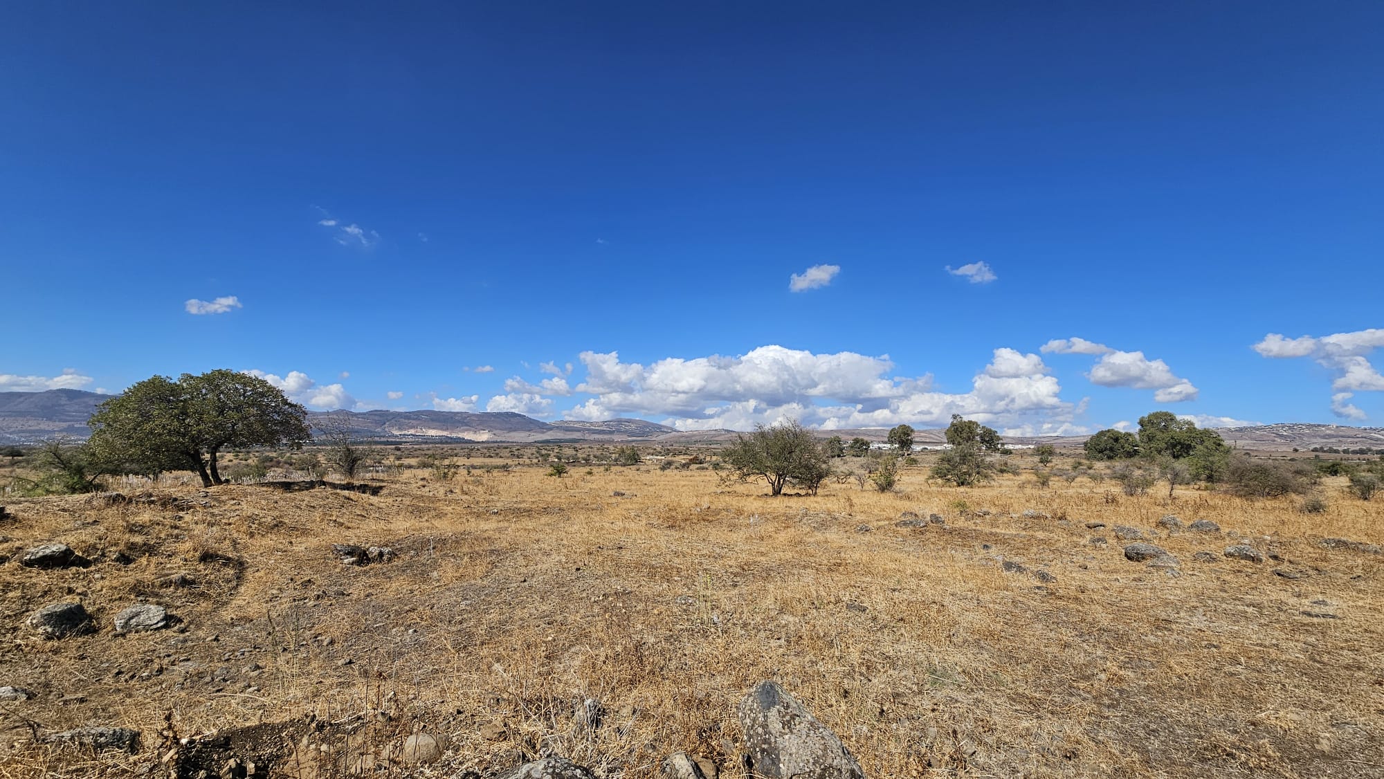
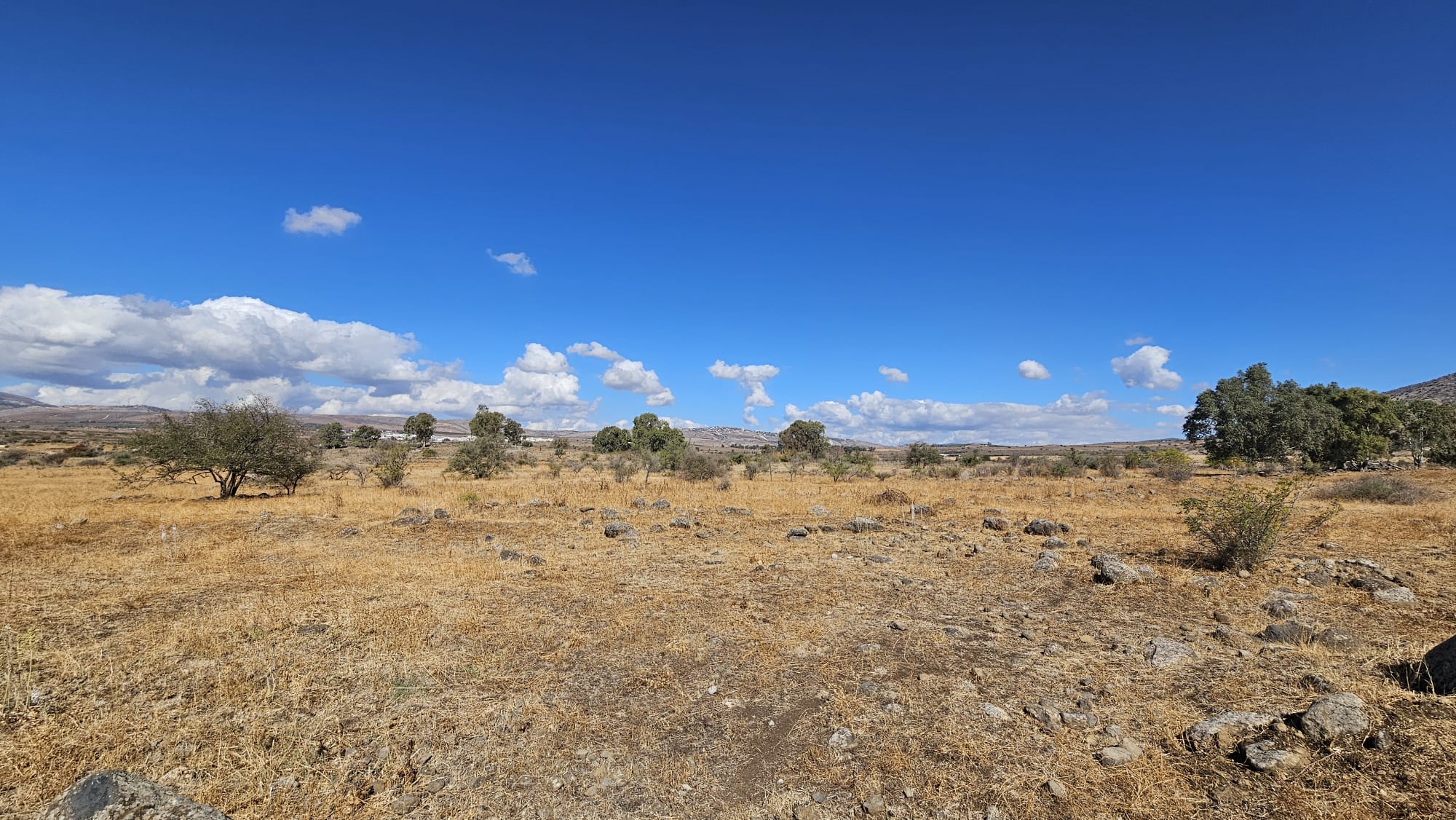
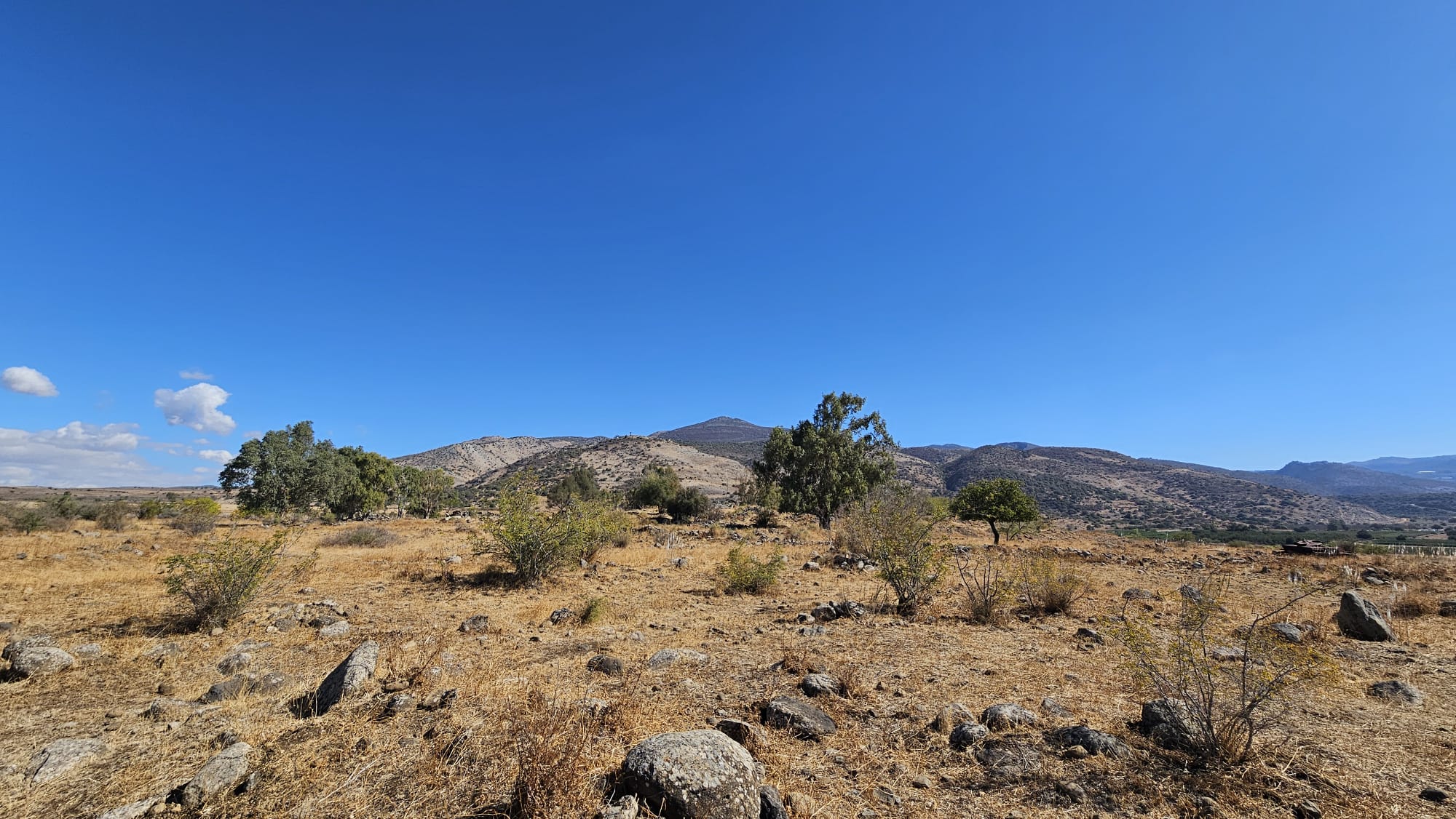
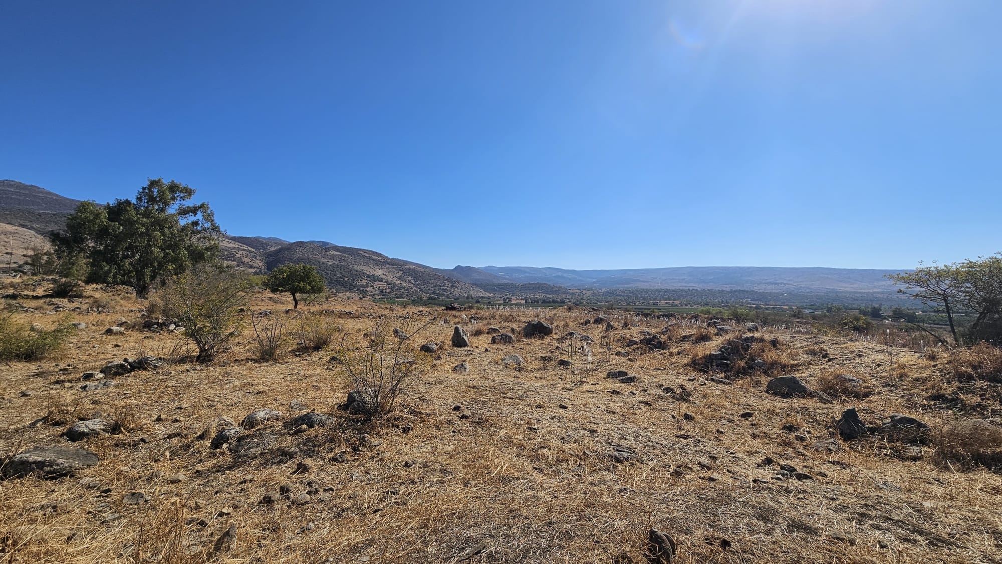
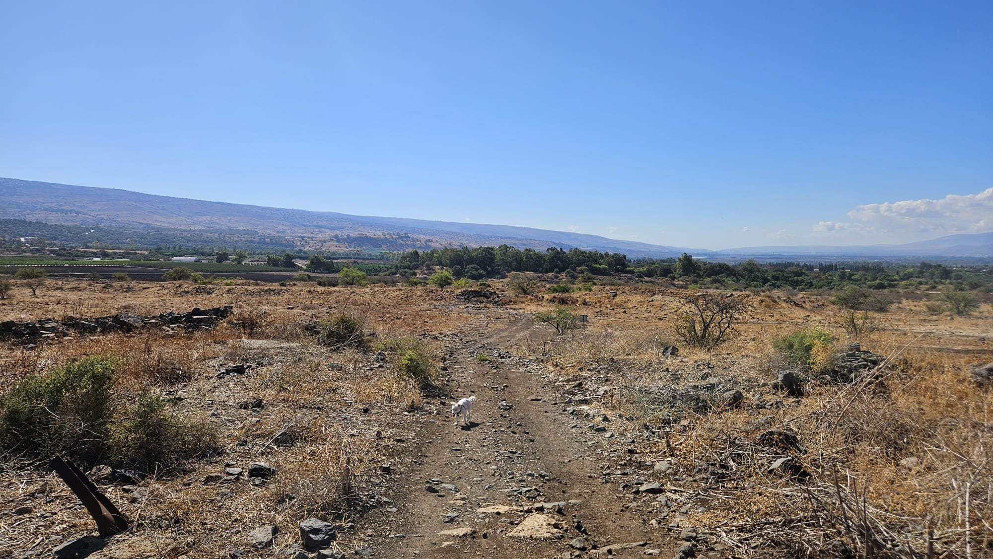
The land around it is a kind of a Savanna, with low grass and some trees spread around. Now, at the autumn days you can see fields of Drimias all around the area.
You can find the site in the site of The Archaeological Survey of Israel, but not much is written about it in English, and a bit more in the Hebrew version. And also in Naamoush (in Hebrew).
Take Care
Gad
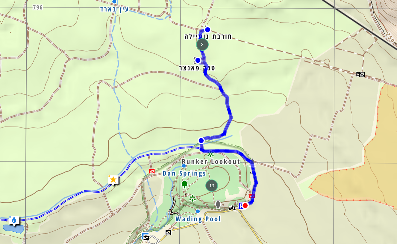 The hike to Horvat Nahila (or Nukheile) in Israel Hiking Map
loading map - please wait...
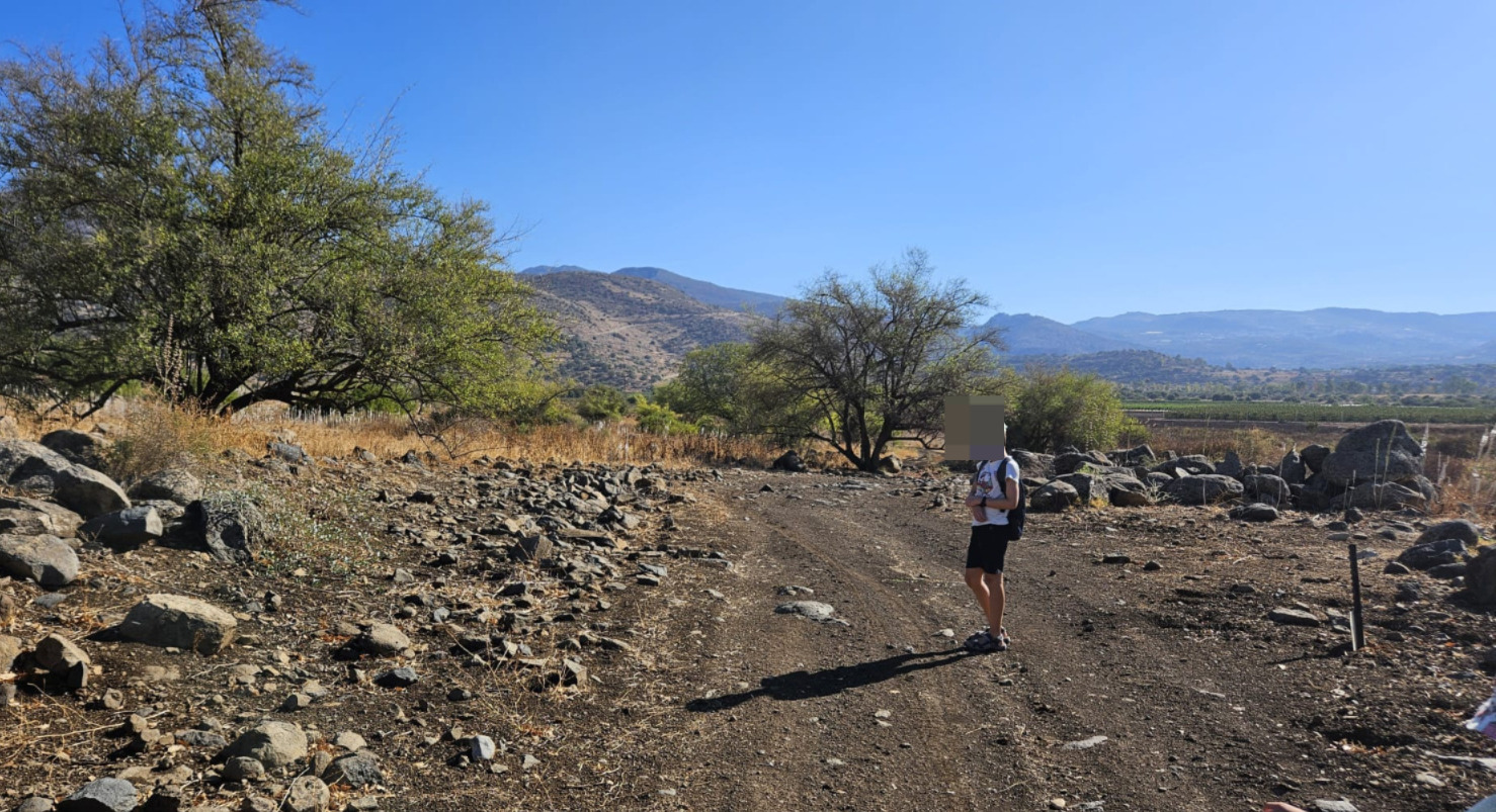
 The hike is part of Hiram Brigade trail, and there are some signs and explanations along the trail. The Nukheile is an open Savanna crossed by sallow flowing streaming. What is special about it is that is an ecological corridor between the Golan Heights and Mount Hermon and Galilee.
 Jannaeus running forward around Tel Dan
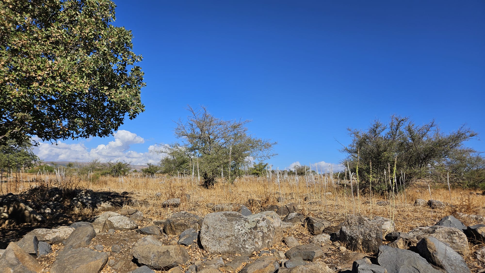 fields of Drimias
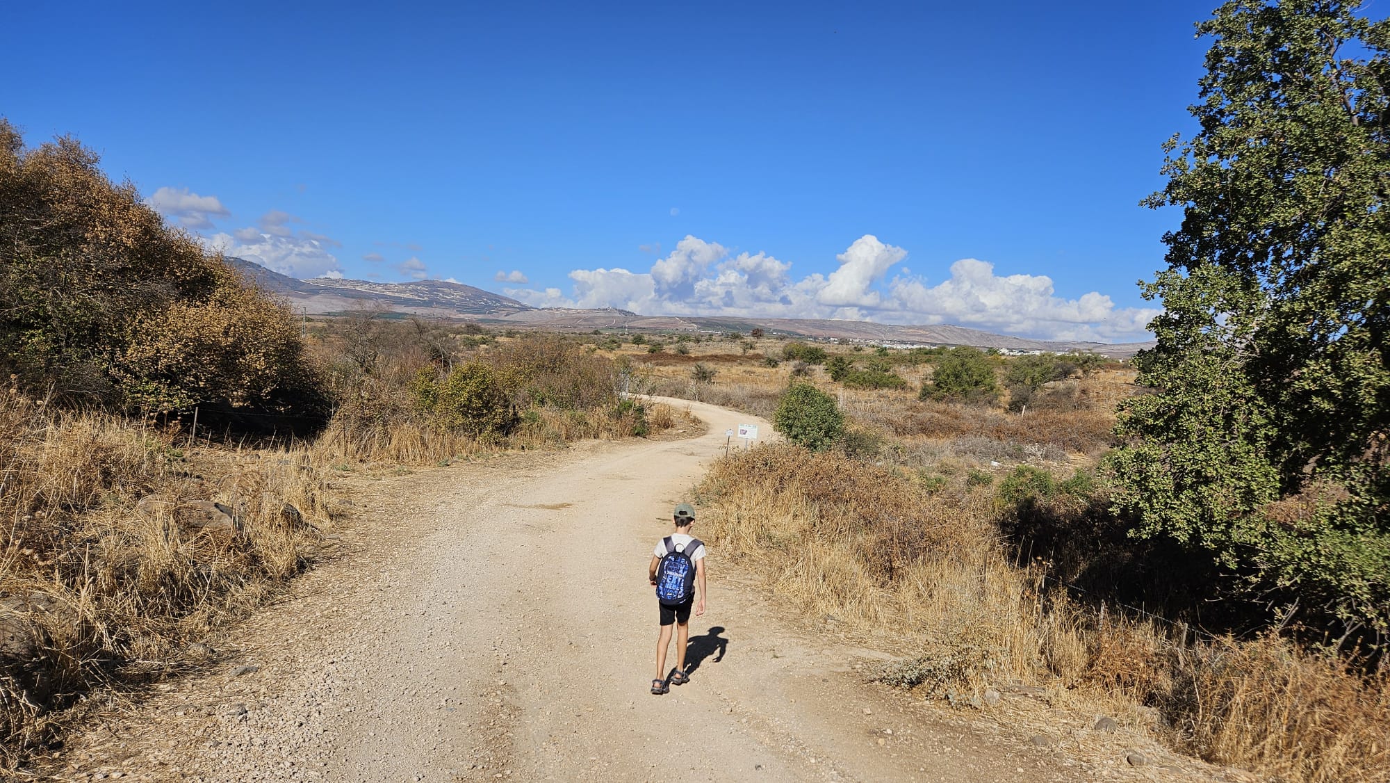
 On the trail north of Tel Dan, you can see how to color of the ground changed as you go down from the trail around Tel Dan
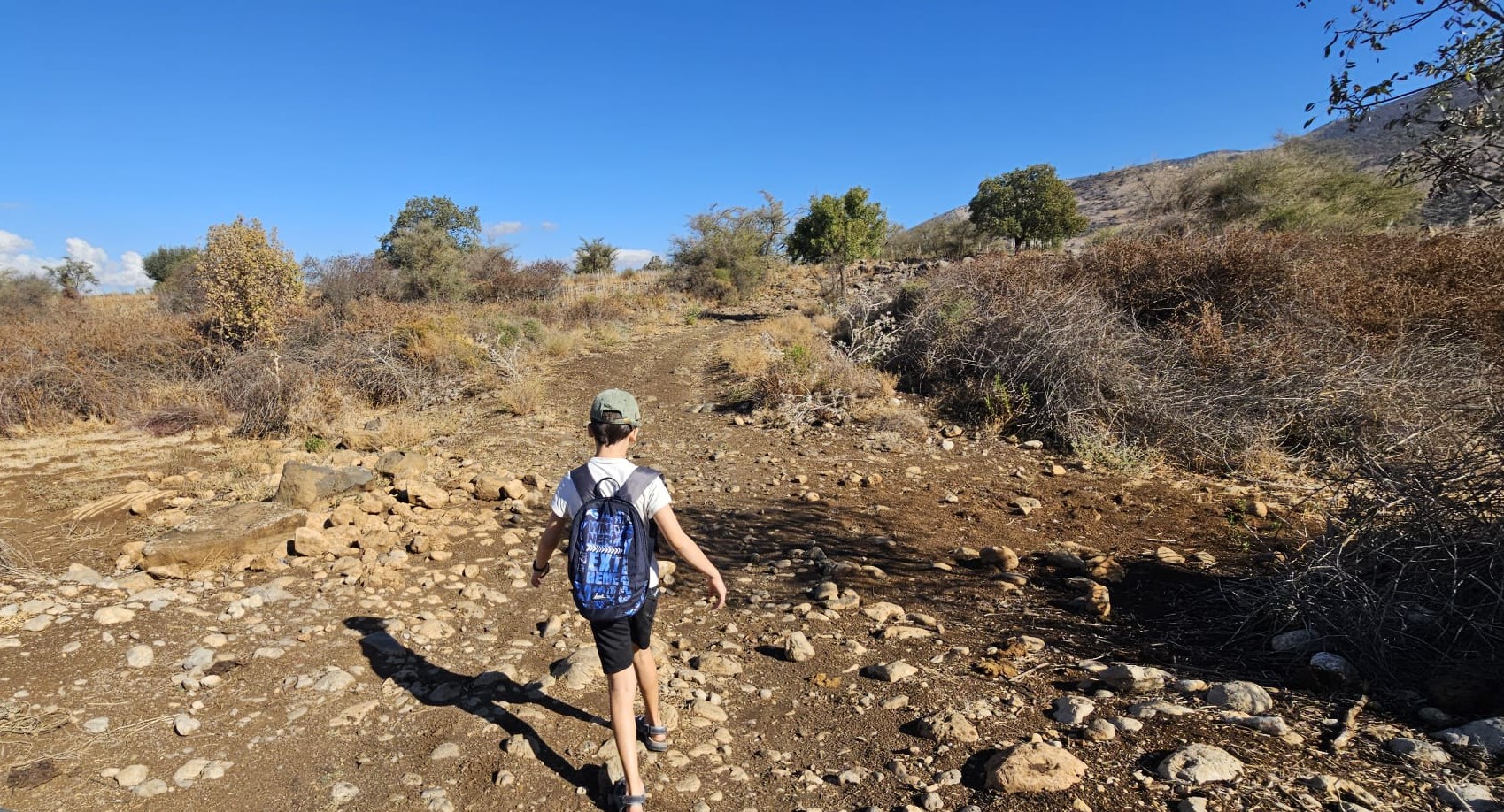 Going over one of the dry streams that cross the area
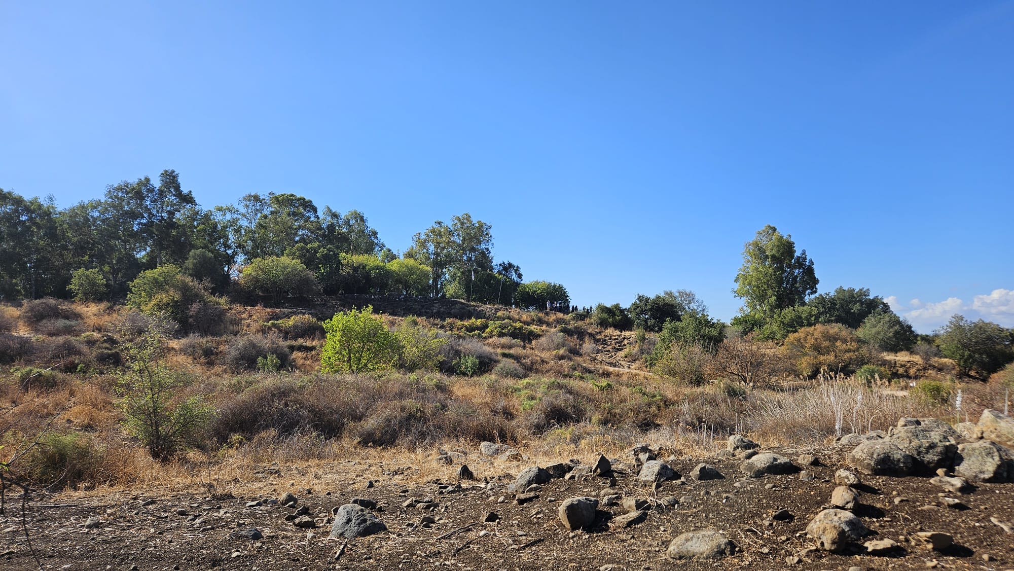 Tel Dan from the North side, you can see the view point of top of it, which was used as an IDF post till 1967
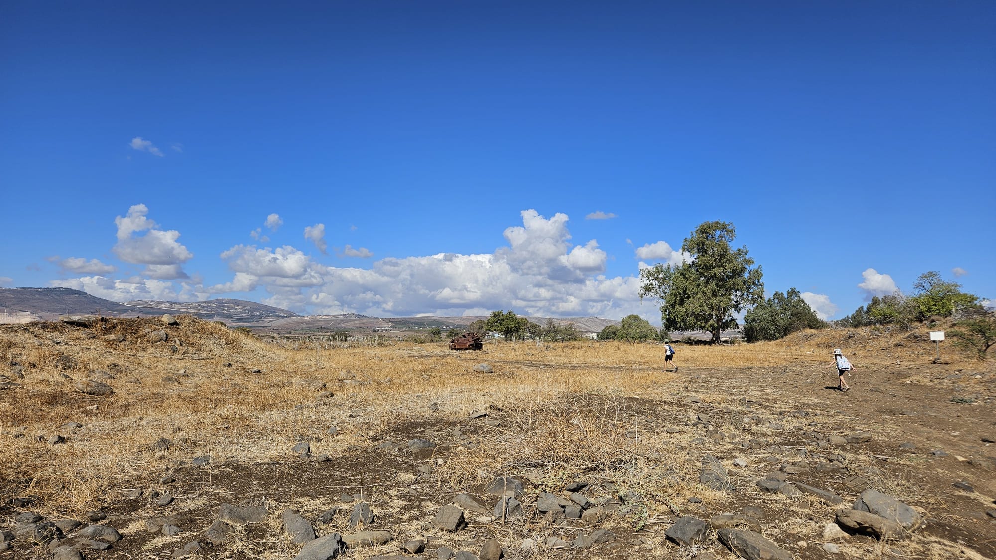 What is there? what are they running to?
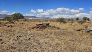
 The remains of the village and the Syrian post
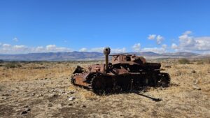
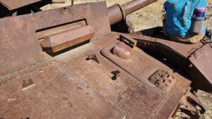
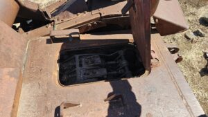
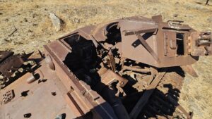
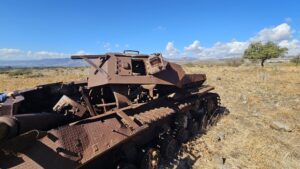
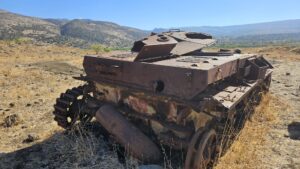
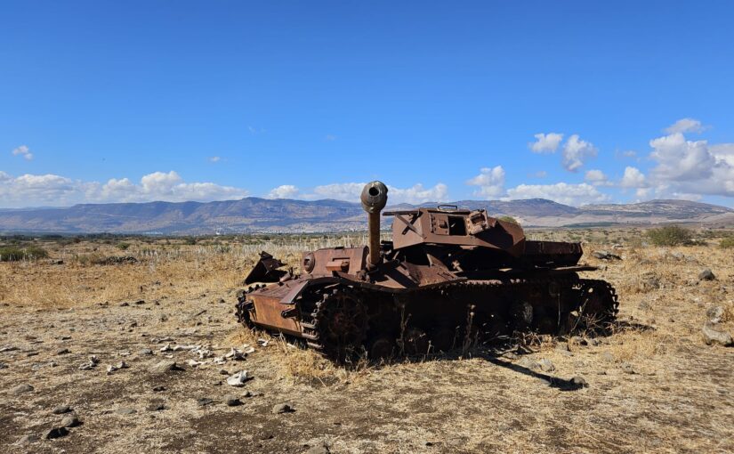
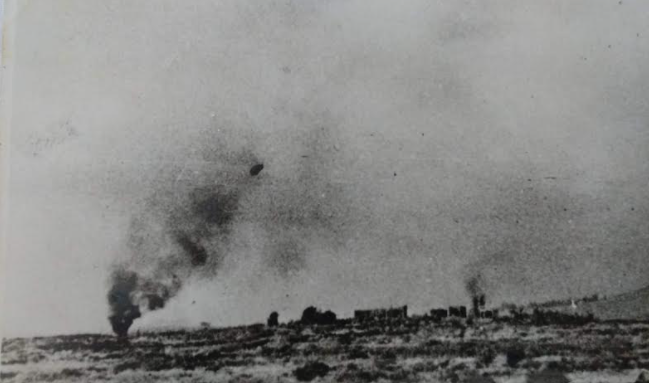
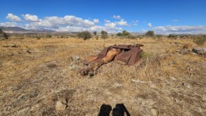
Panzer IV Syrian tank (bought after WWII) that was hit during War on the Water between Israel and Syria. This Tank was hit on November 13th 1964, in the second fighting day in 10 days, by Sherman tanks. In first day, IDF tanks (new Sho’t tanks) fired 89 shells to a distance of only 800 meters (a very close distance for tanks). Israel Tal, who was appointed to be commanded of Armored corps 3 days before, got mad and started a revolution in training the tank crews. It was proved here that the old, but practiced, Sherman tanks were better than the new, but with unskilled crew, Sho’t tanks. You can read more about it here (in Hebrew)
 The Panzer tank hit (Source: naamoush.wordpress.com)
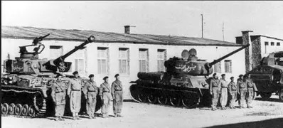 Pic of Syrian tank during the 1960s: on the left is a German Panzer IV (with added part on top for a machine gun) and on the right a Soviet T34/84 tank.
 What is there in the distance?
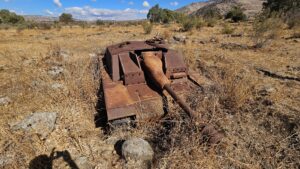
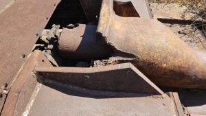
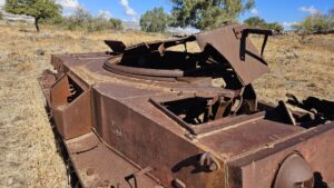
This a StuG III assault gun in a ditch hiding it from south, where the Israelis forces have been located. Also was hit in 13.11.1964.
 Ramim Ridge to the West
 El-Khiyam village (in Lebanon) North of us
 Mount Dov to the East
 Golan Heights South-East
 Tel Dan to the south an right of it is Kibbutz Dan, which the Syrian post here threatened.
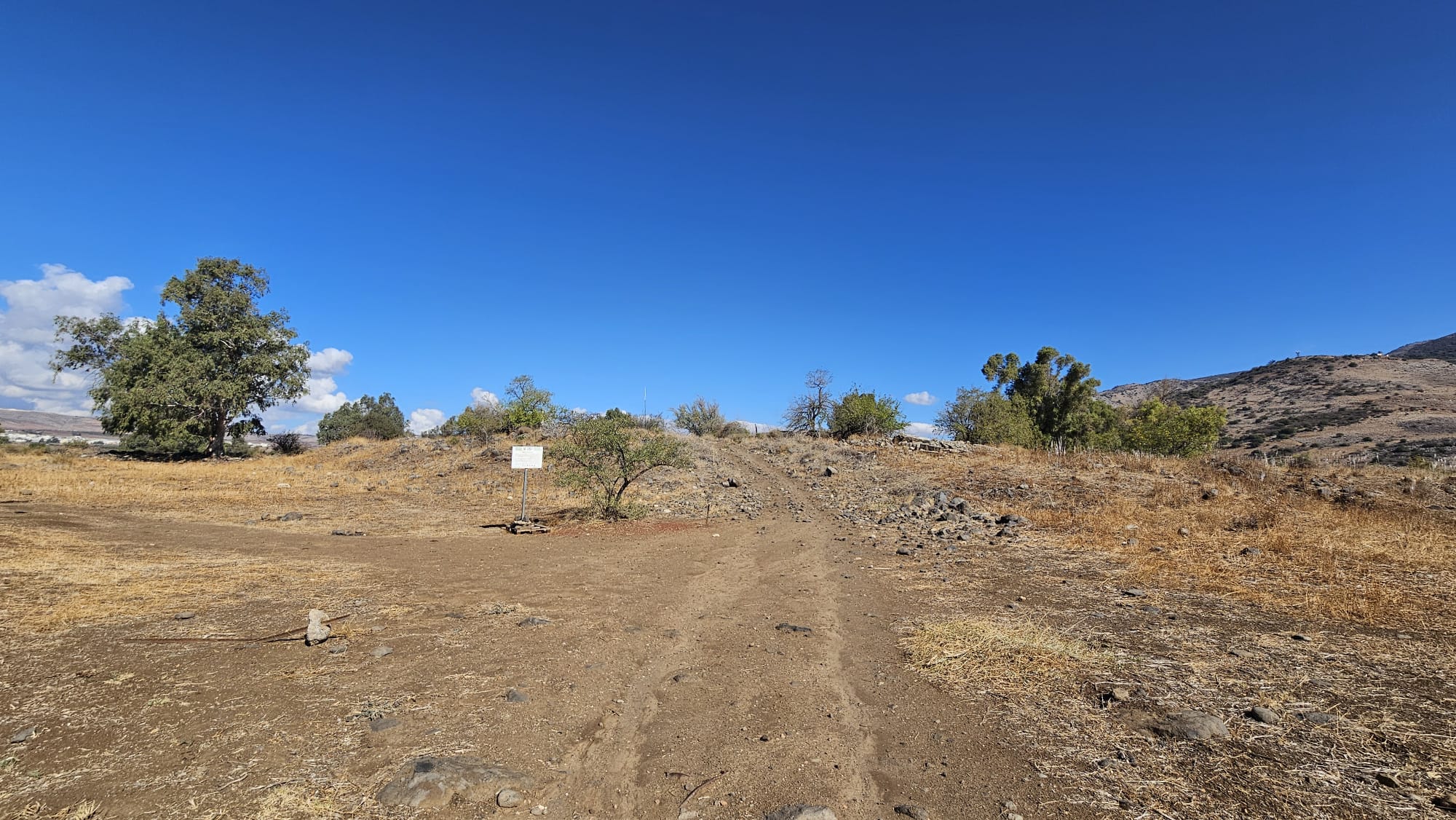
The ruins of the village of Nahila (or Nukheile) and the Syrian post in it
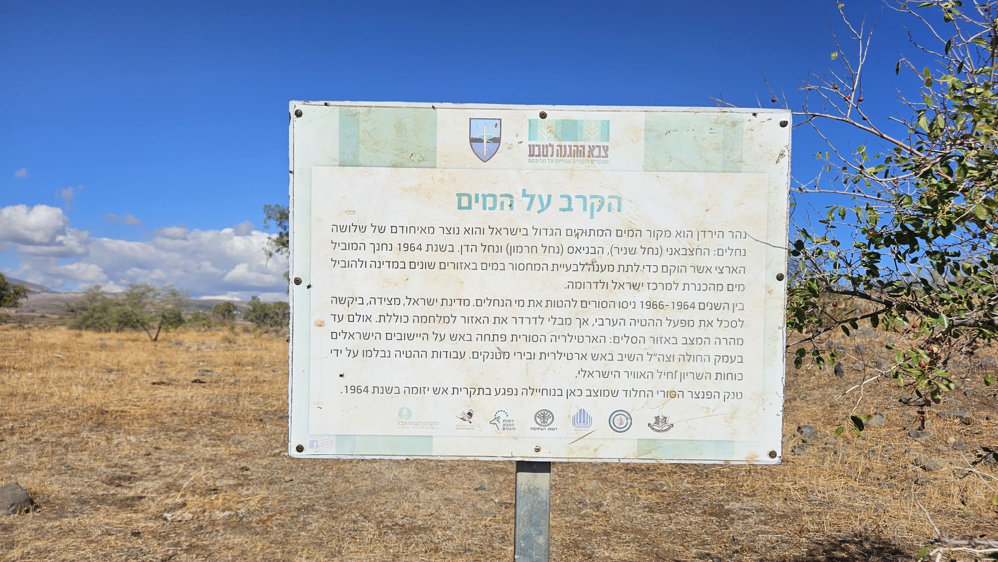 War on the water – The Jordan River is the biggest water source in Israel an made of 3 sources: Hasbani (Snir Stream), Banias (Hermon stream) and Dan stream. On 1964 the The National Water Carrier of Israel completed to solve the problem of the water shortage in many part of Israel, by leading water to center and south of Israel. Between 1964 and 1966 the Syrians started the Headwater Diversion Plan, while Israel wished to stop it without causing a war. But soon the crisis escalated as the Syrian artillery bombed Israeli settlements in Hula valley, and the IDF used artillery and tanks back. The Syrian rusted Panzer standing here was hit in fighting day in 1964.
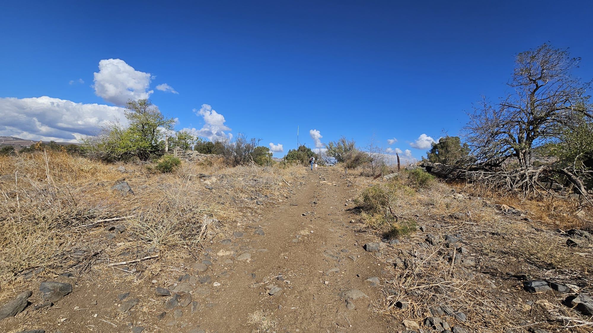 A bit steep
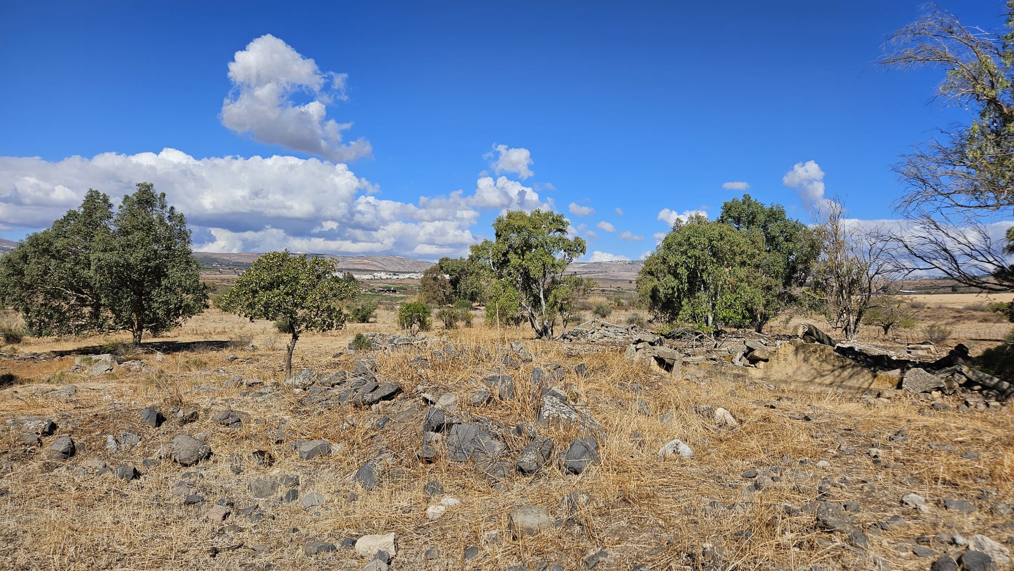 Ruins of the village
 Ruins of the village
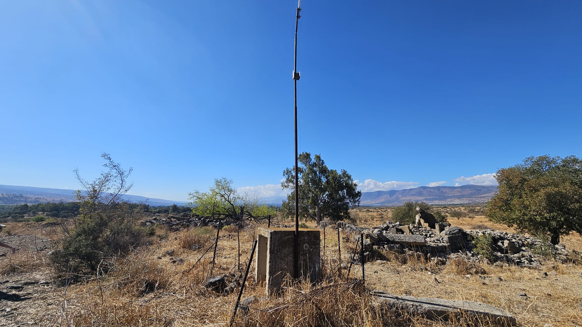 Some antenna left on top of the hill and bunkers behind
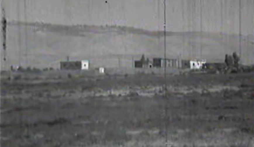 The village in 1964 (Source: Naamoush.wordpress.com)
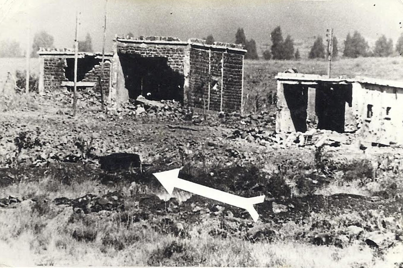 The buildings of the village after one of the attacks. The arrow marks the location of a tank (Source: Naamoush.wordpress.com)
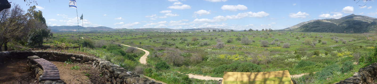 The view of the Nahila (or Nukheile) and Mount Dov on the right from Tel Dan