
Hi,
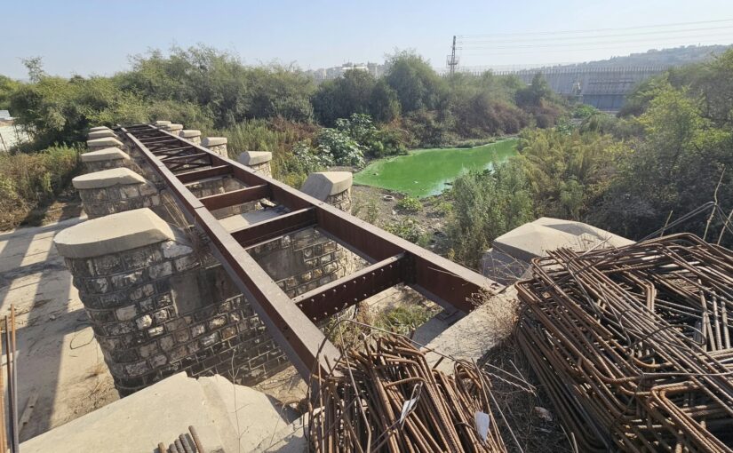
I used my free Friday morning (since Atzva is studying) to visit Nahal Te’enim train bridge. This is an old bridge, more than 100 years old, that is no longer in use and it is part of the historical Eastern Railway. By its side you can see the new train bridge of new Eastern railway,
Nahal Te’enim (Figs stream in Hebrew), flows during the rainy season in Israel from Samria mountains west to the Medeartinan sea. Both the historical and new Eastern railway are crossing it with impressive bridge, but I am into the old one.
It consists of 5 parts looking from south to the north: 3 arches, 7 span with steel beams, 3 arches 15 spans with steel girders and another one arch. 170 meter long in total.
It was built by the Ottomans around August 1915 in WWI as part as the effort to extend the railway to Sinai to mobilize the forces to the frontline against Britain. After the Field Marshal Allenby had conquered the land of Israel, Palestine Railways used The Eastern railway to run trains all the way to El Kantara (Egypt).
The Eastern railway and the bridge were used by Israel railway until 1969, when it was abandoned.
Take Care
Gad
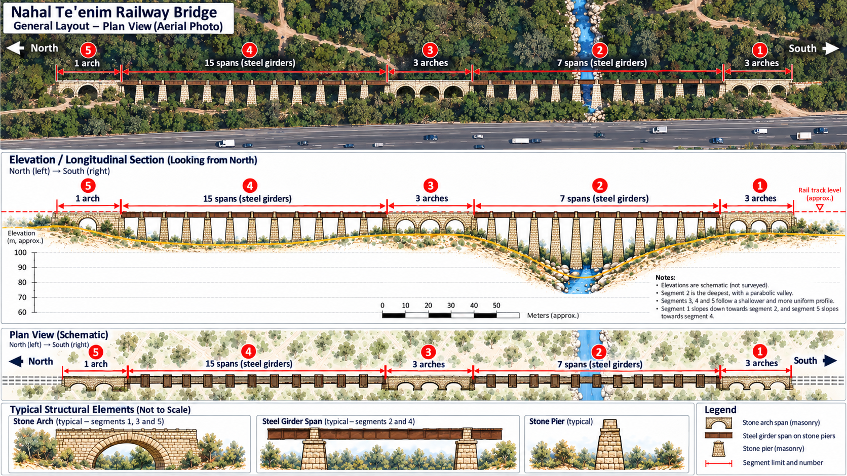 Nahal Te’enim Bridge Infographic (by ChatGPT)
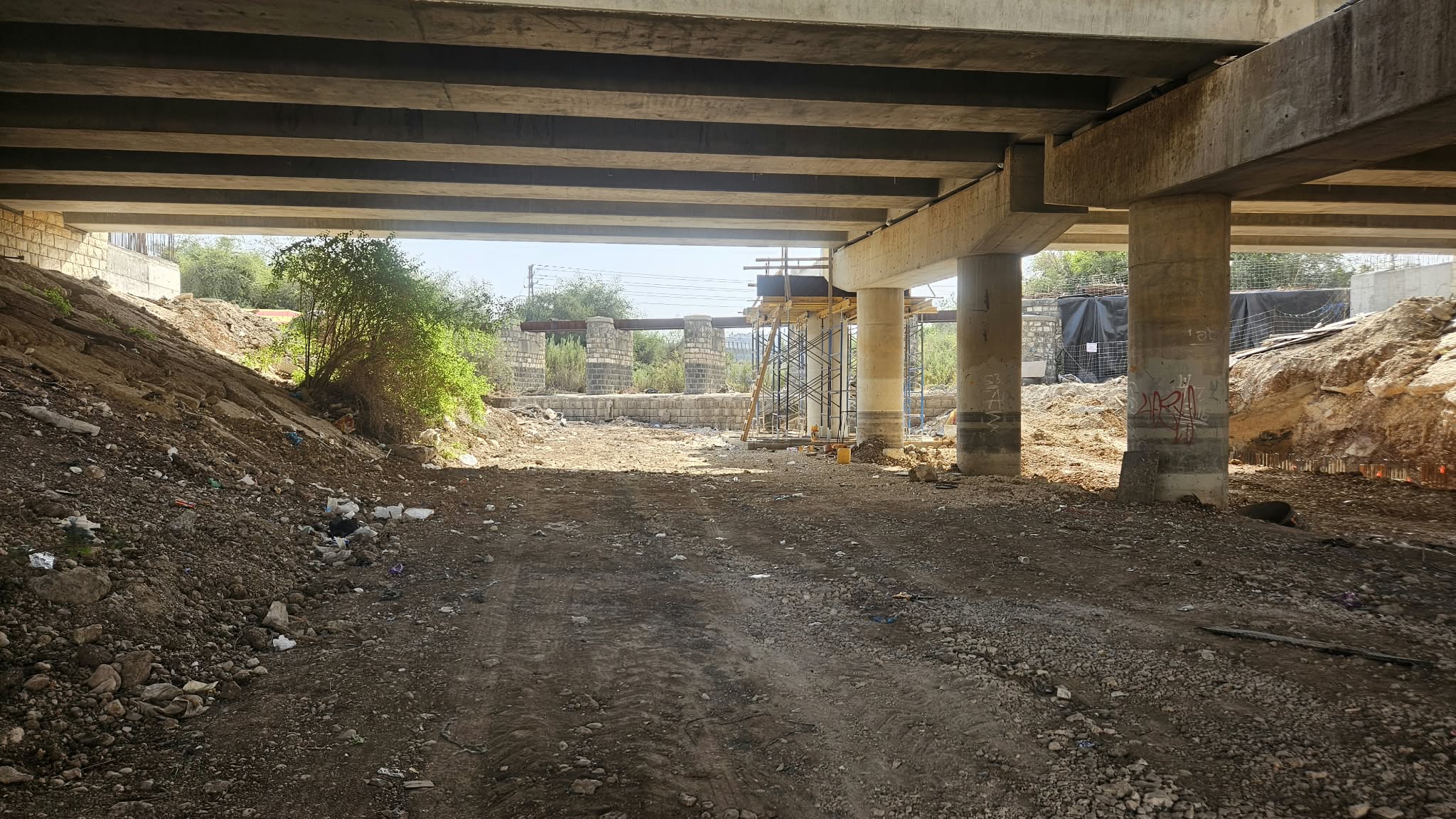 Road 6 existing bridge and its extension bridge
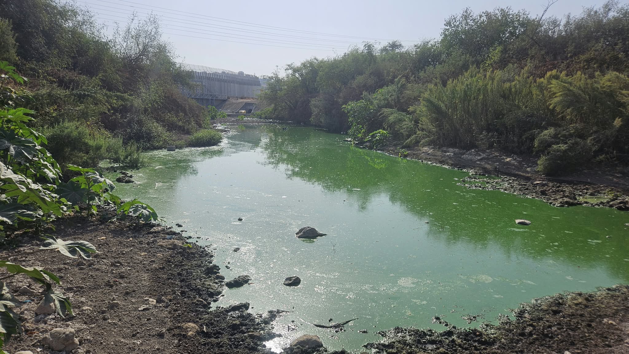 The swamp that is left out of the stream between the bridge and the West Bank barrier
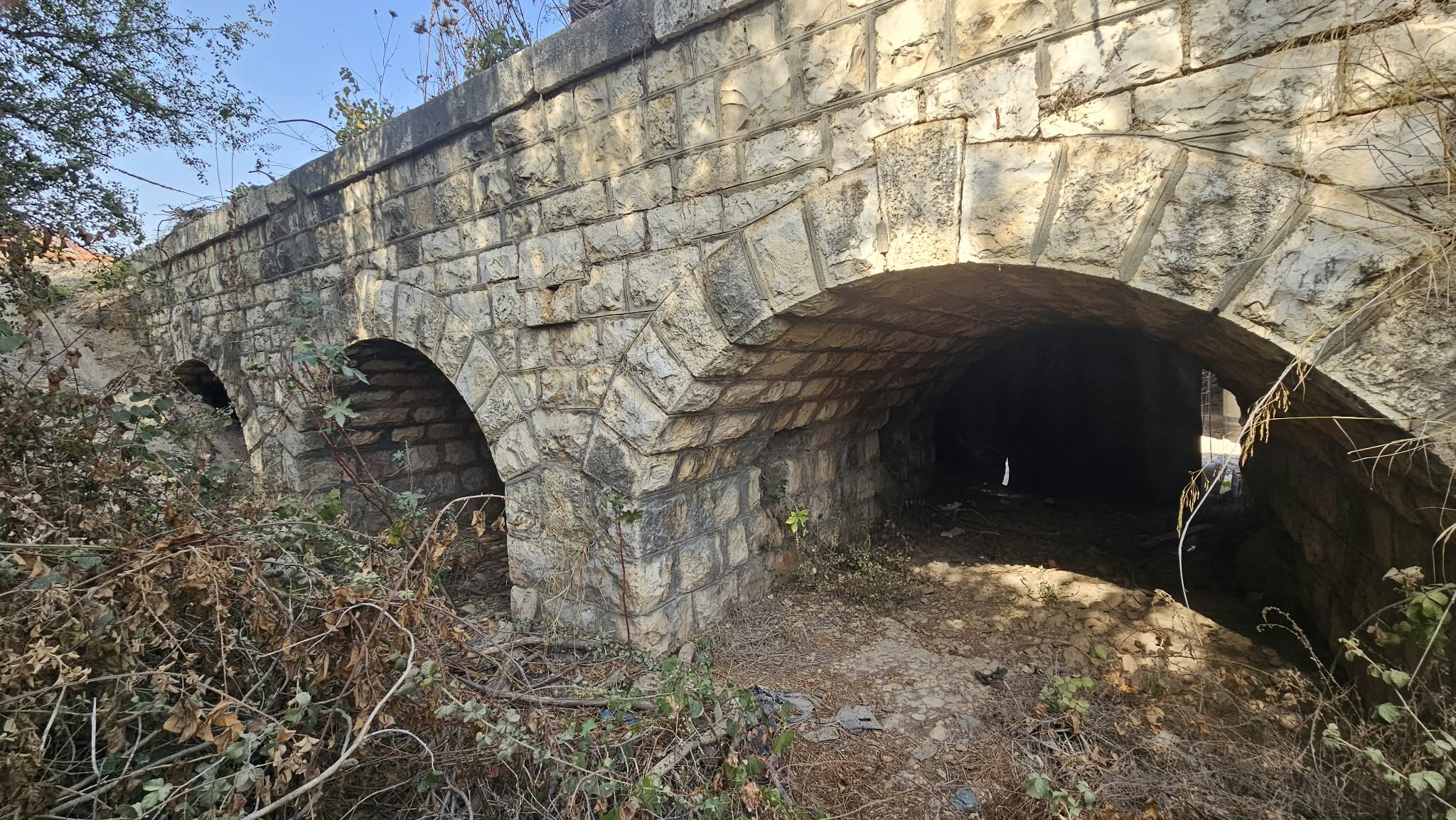 The most southern 3 arches (marked 1 in the Infographic)
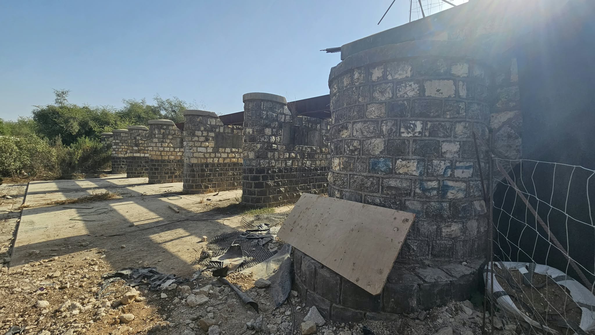 The 7 spans with the columns and the steel beams between them (marked 2 in the Infographic)
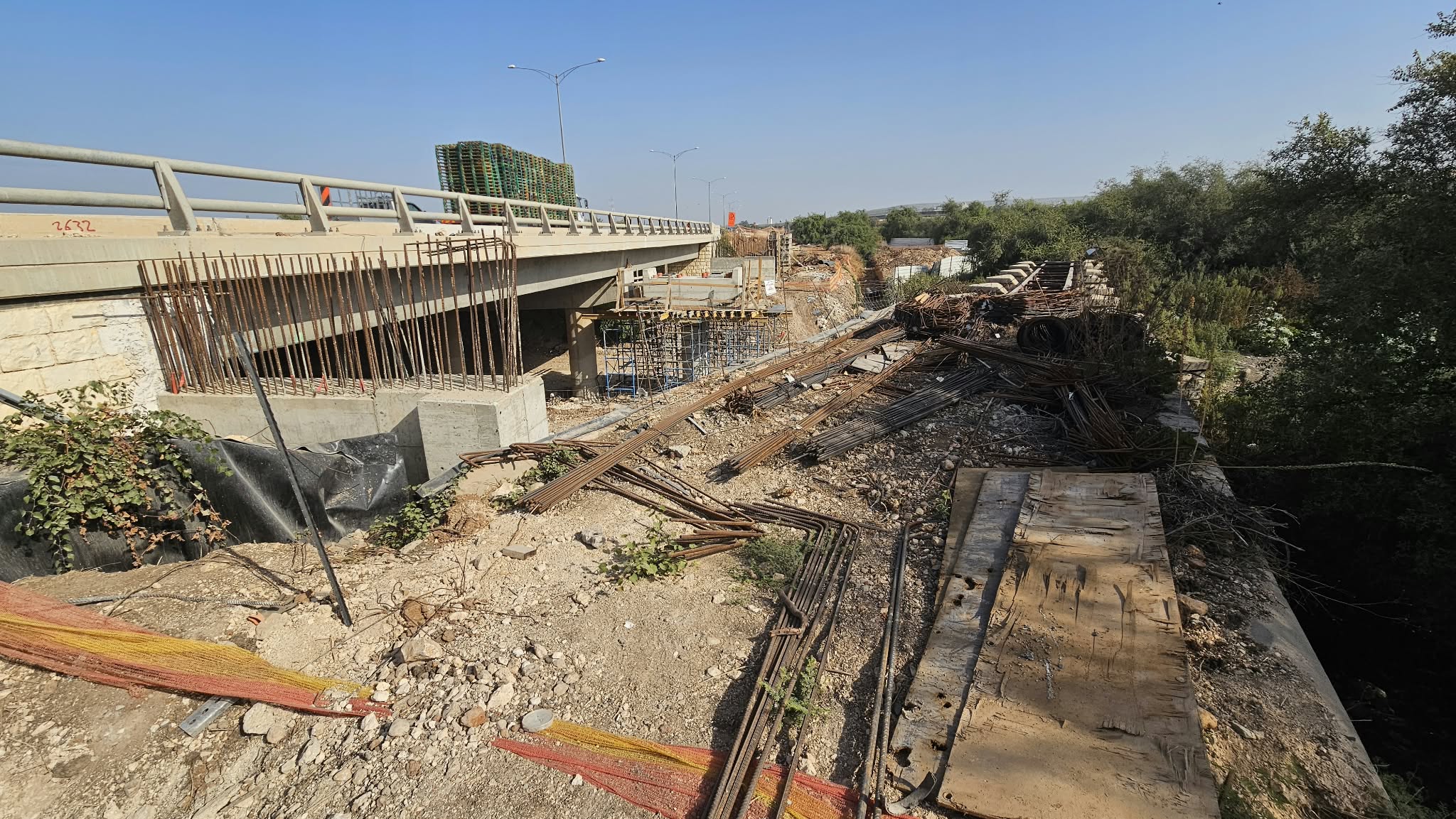 The bridge from above, used as storage for Road 6 extension works
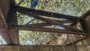
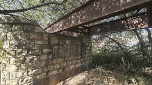
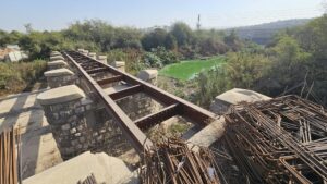
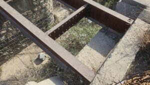
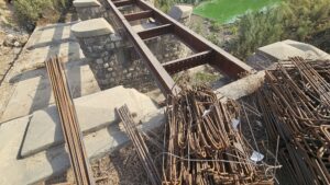
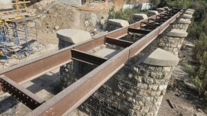
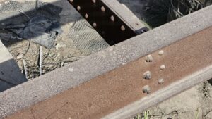
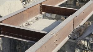
Details of the main part of the bridge
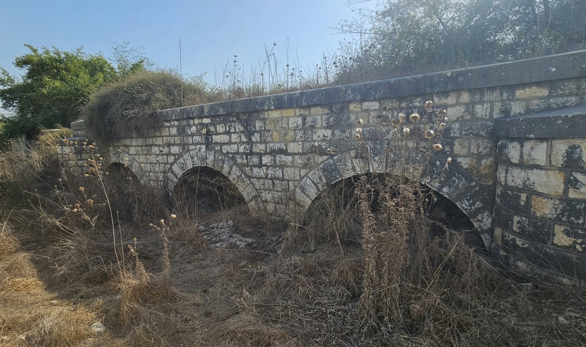 3 north Arches on the north of the main part (marked 3 in the Infographic)
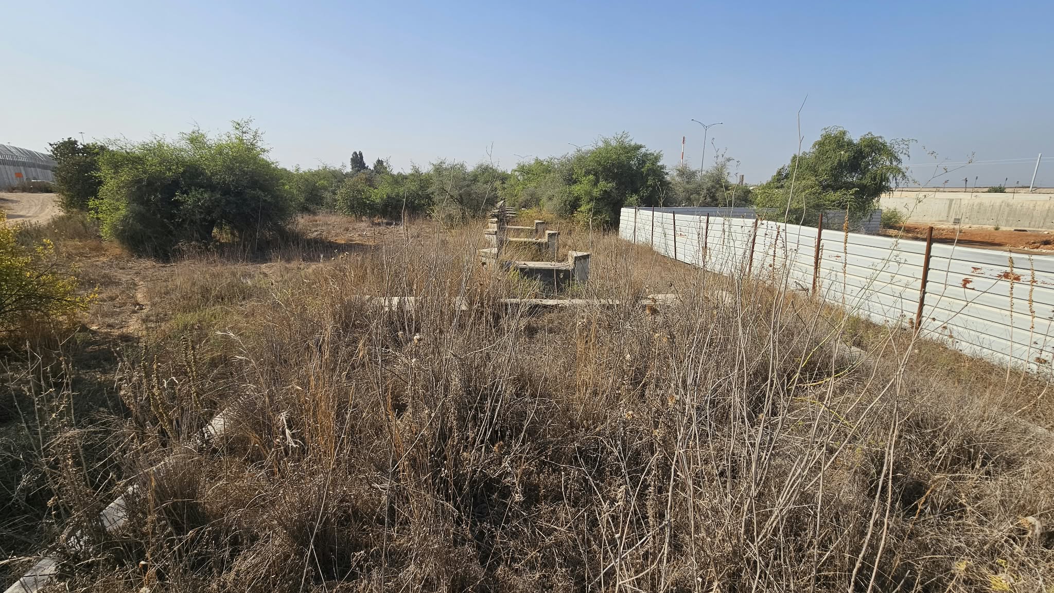 The second part of the train bridge with 15 more spans over bridge (marked 4 in the Infographic)
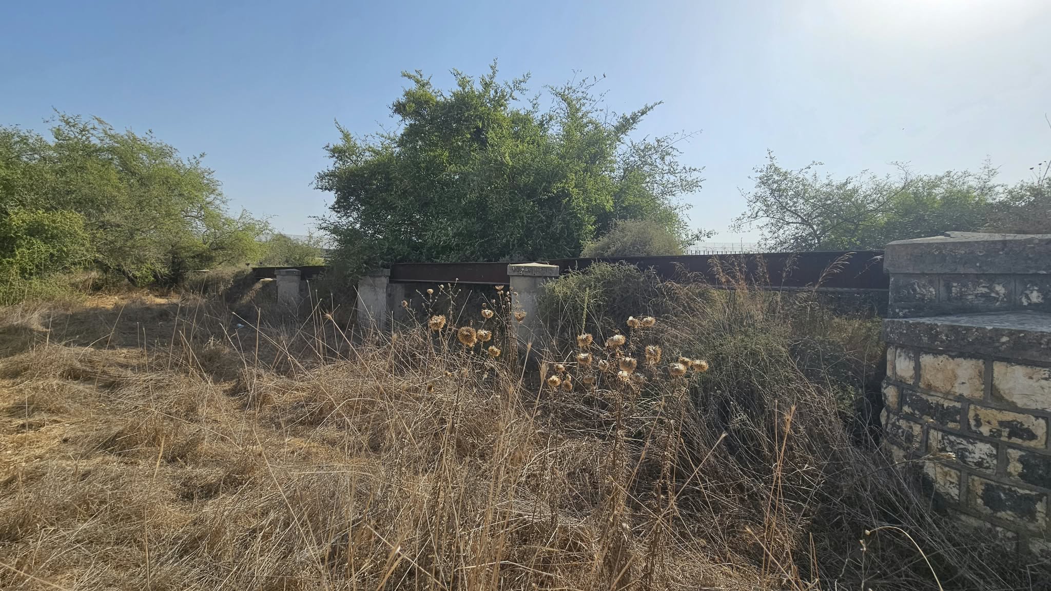 Some of the steel beams left on the southern part of north part
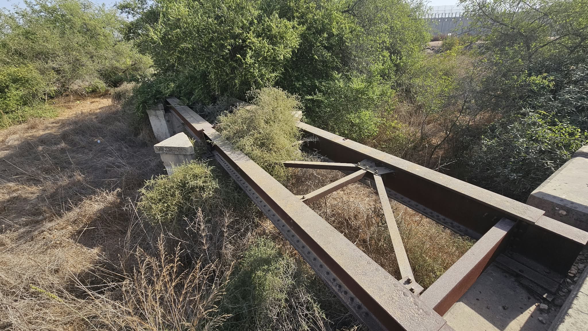 The steel beams from above
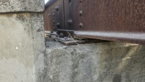
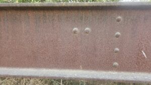
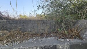
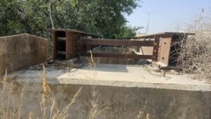
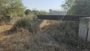
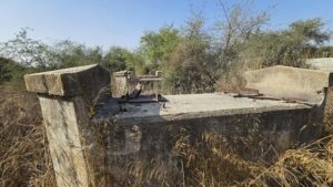
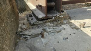
Northern part steel details – The steel is from England.
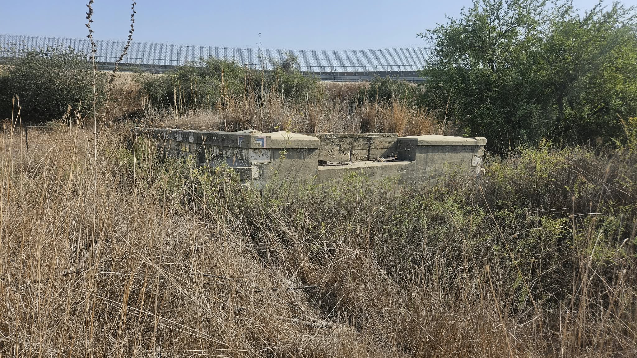 Most Northern part of the bridge and West bank barrier (marked 5 in the Infographic) and Israel National trail mark
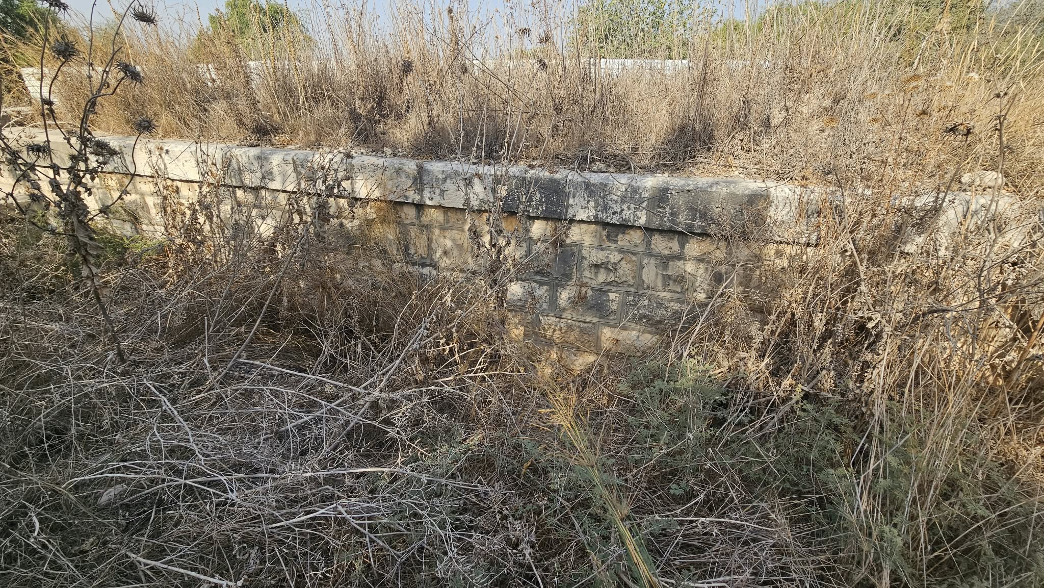 A sole arch