
Hi,
I was released a day early from the military reserve in Golan Heights and stopped in Gadot Lookout, which is on the road down from Golan Heights to Jordan River.
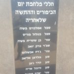
This is what written on the sign, with some more information from my side:
Syrian post
Up until Six day war (1967), a Syrian post named Mortfa (Lofty) stood here. The post controlled the main road linking the Galilee with the Golan Heights and provided the Syrians with a significant strategic advantage over the valley.
The Syrians bombardments and shooting incidents have increased during the 1960’s, when the Syrians tried to divert the Jordan River headwaters.
Along with the take-over of the Golan Heights by the Golan brigade, reinforced by Golani brigade, paratrooper forces and the armored brigades, the Northern Israeli settlements were freed from the threat of the Syrian army.
Kibbutz Gadot, just below the post, was subjected to massive continuous shelling, the Kibbutz was destroyed twice and then re-established. A line an Israeli son, written at the end of Six Day war says: “A girl in Gadot came out of the shelter and no houses around” – reflects the difficult security situation of the Kibbutz members during the days prior to the war.
When the war was over members of the Kibbutz visited the post along with brigade commander who told them: “From here you look seven folds bigger”. By saying so he meant to express his appreciation for the courage of the kibbutz members, who were awarded for bravery under the Syrian shelling.
Naamoush (Blog in Hebrew on Six Day War), describes also an upper post, 100m to the east, which still host ammunition. Danger! – Do not touch anything, those 50 years mortar shells can easily explode!
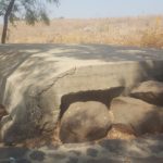
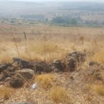
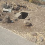
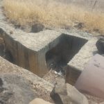
Bunkers and trenches of the Mortfa Syrian post In Gadot Lookout
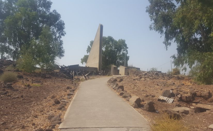
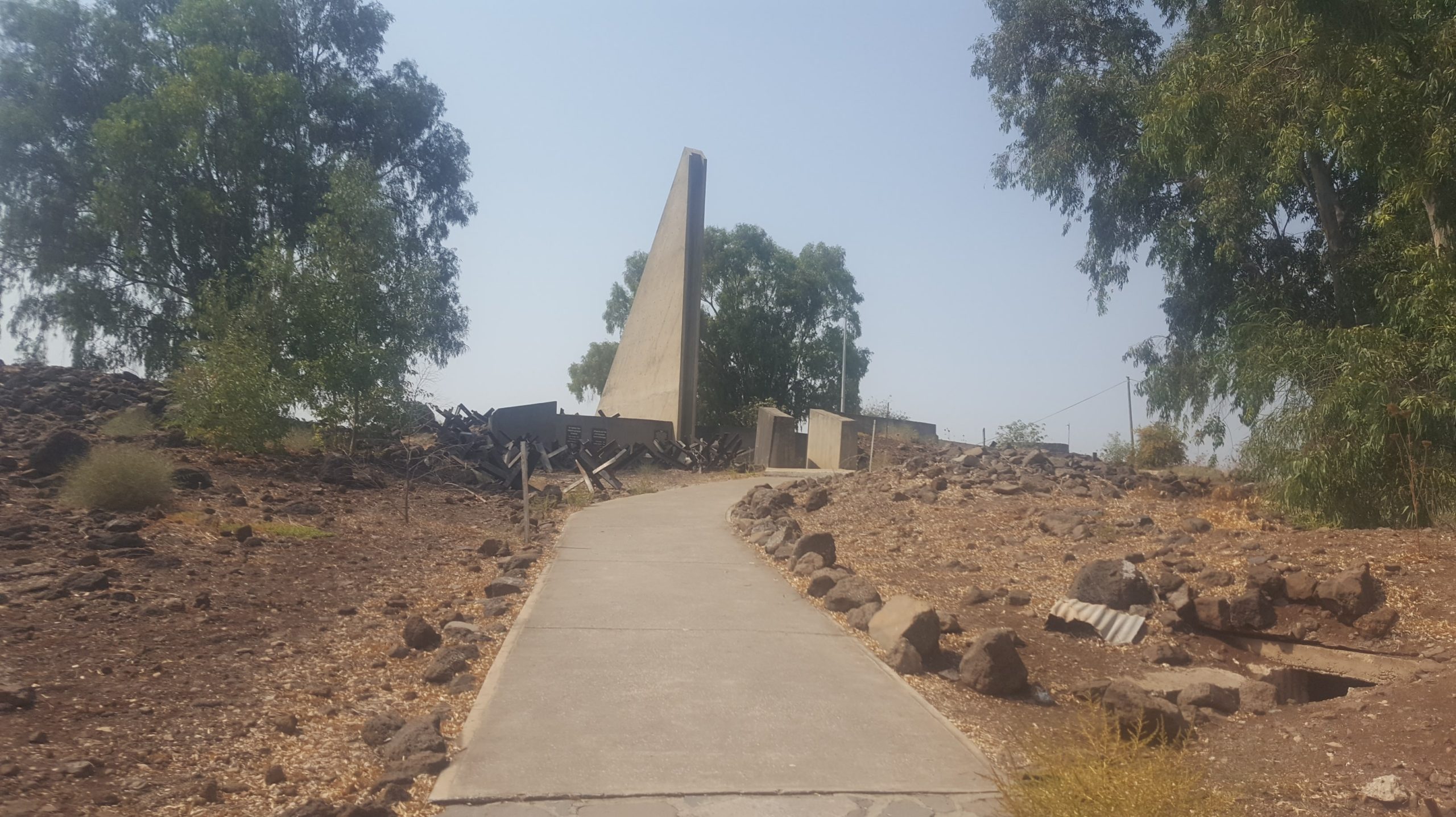
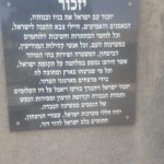
Observation post and Memorial monument
At the top of the hill there is a monument for the fallen soldiers of Golan brigade. The monument is built of concrete in the shape of a wing, which faces east and symbolizes the departure of the troops fighting in the Golan. The monument was designed in 1972, by the sculptor Ezra Orion, who was the commando unit during the war. You can find more about it, as well as early sketches for it, in Micahel Yakovson Blog, Back Window.
You can climb to the observatory, explore the trenches and bunkers watch the hills the Galilee, the Hula valley and mount Hermon.
“A girl in Gadot came out of the shelter and no houses around…”
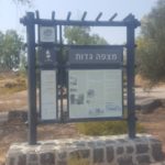
Information sign In Gadot Lookout
 The monument
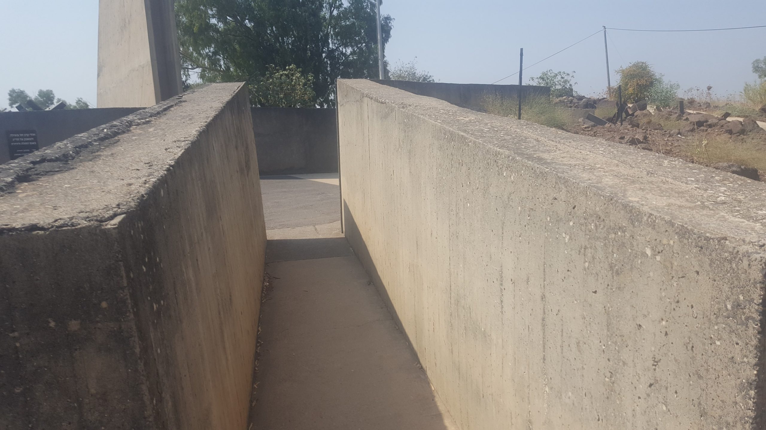 The way inside
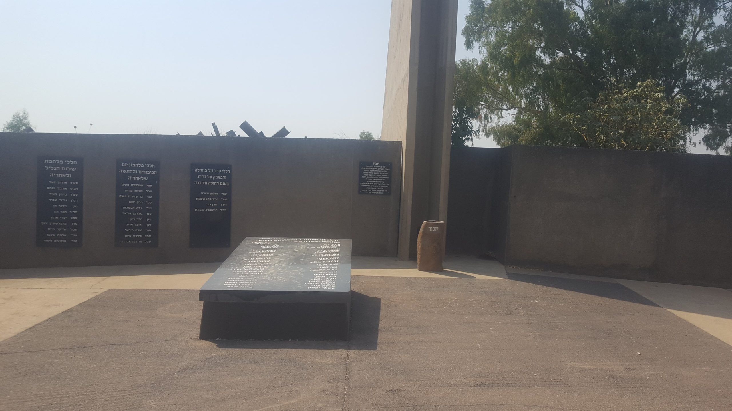 The monument yard with black boards with the names of fallen soldiers of the brigade
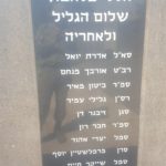
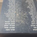
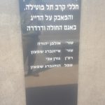
The names of the fallen soldiers of Golan Brigade
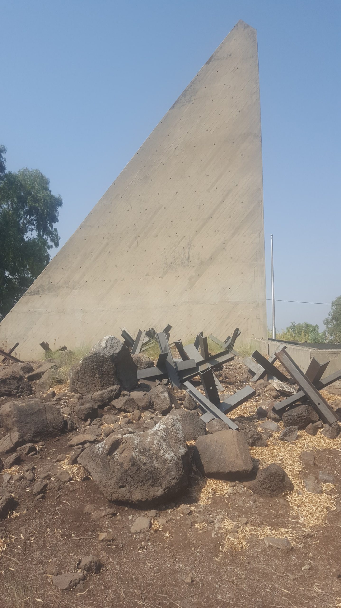 The monument from the side shows the symbol of the wing
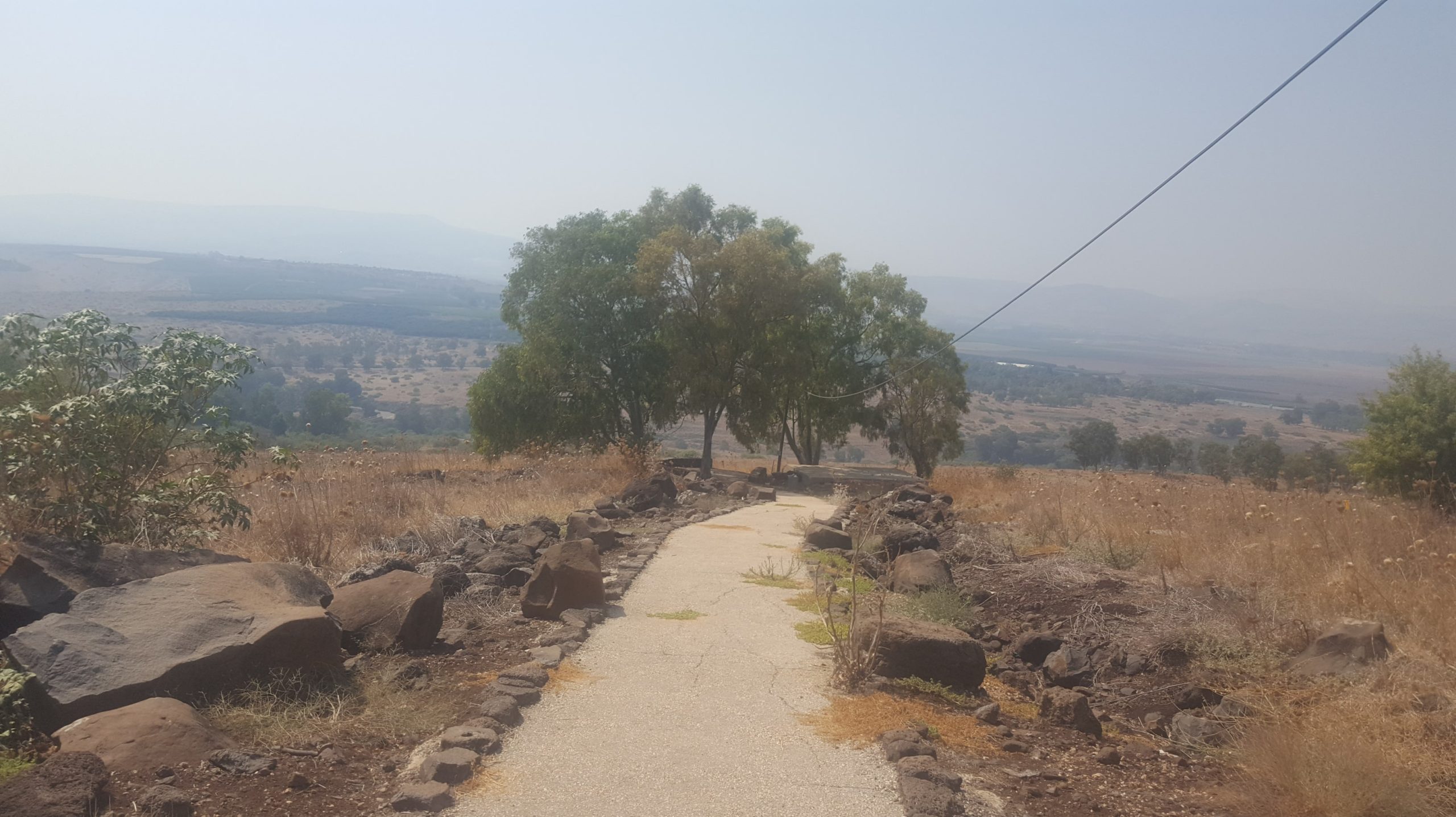
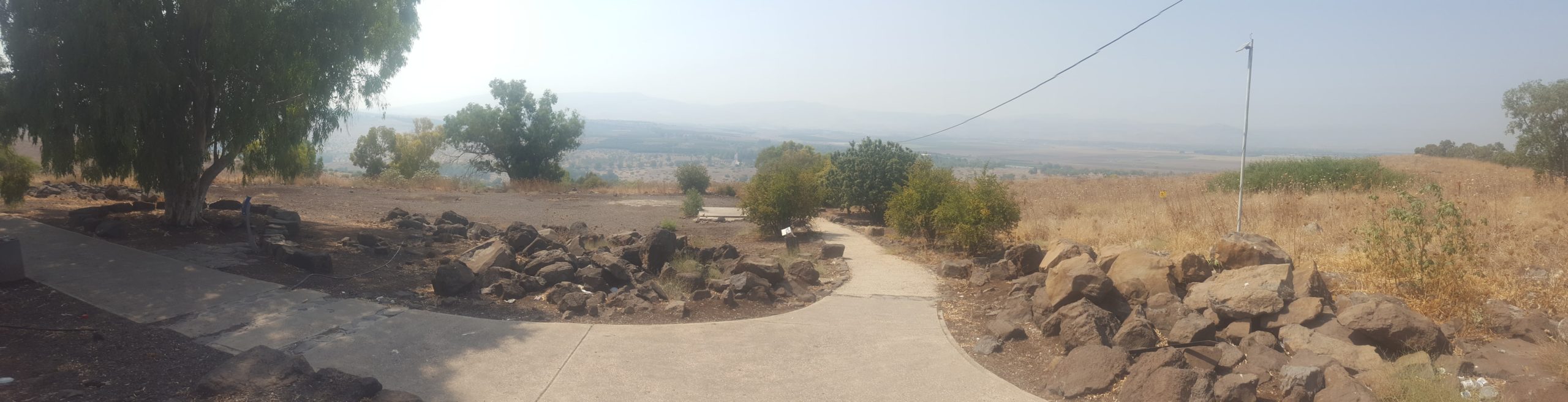 The way down to the lower level, where the panorama view is
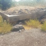
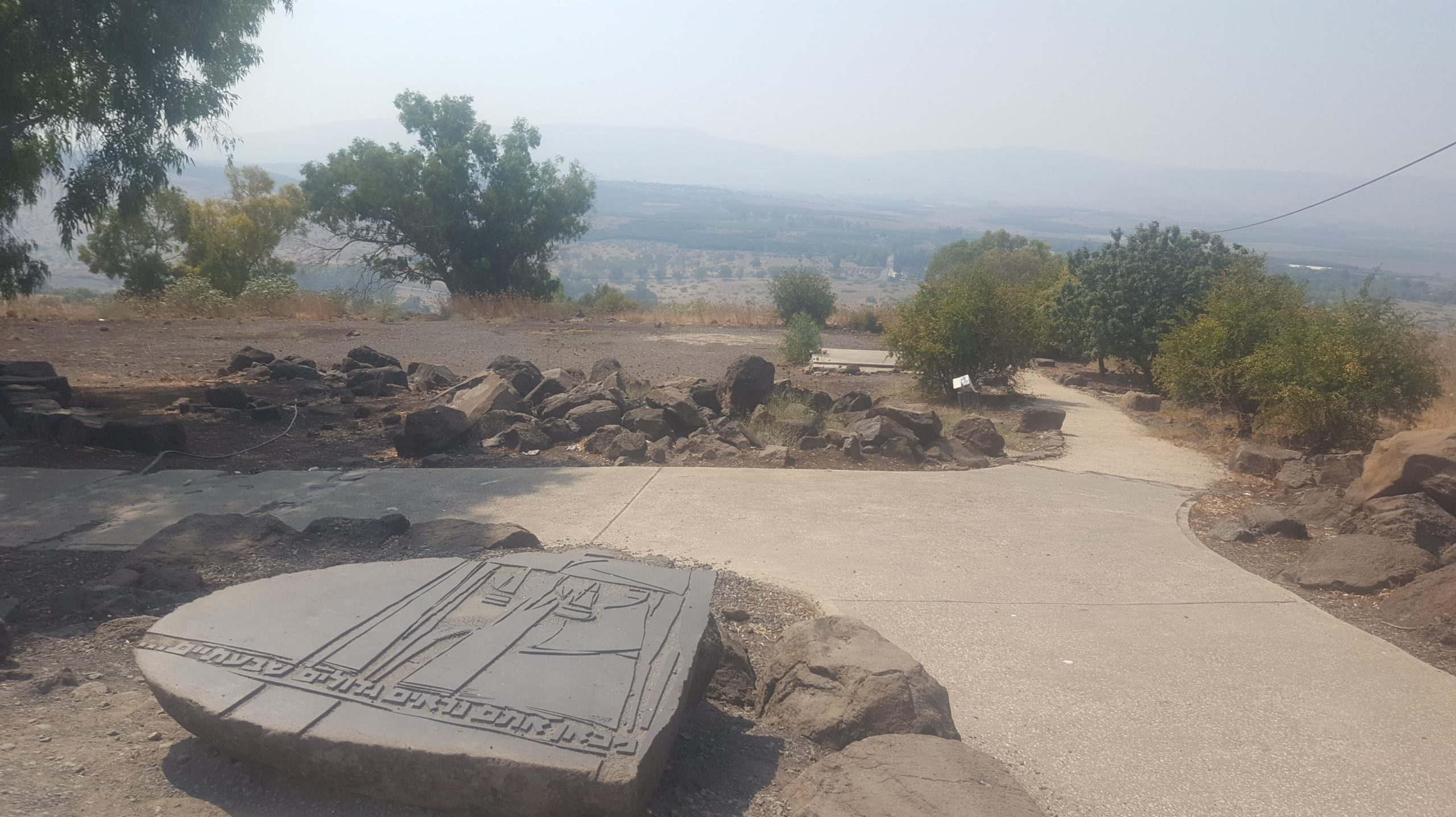 A stone with the words of the rigade commander words tomembers of the Kibbutz Gadot who visited the post after the war
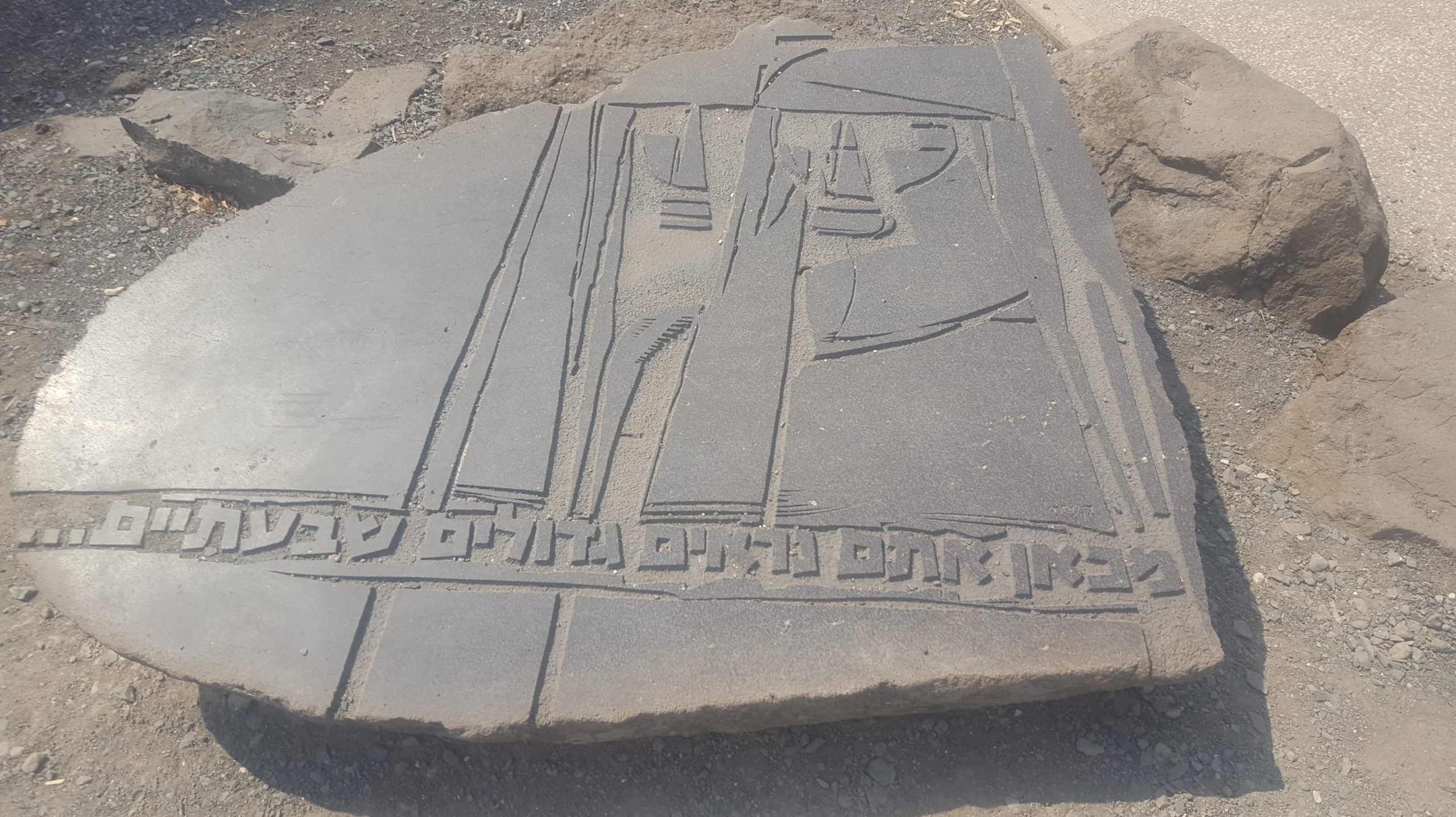 “From here you look seven folds bigger”
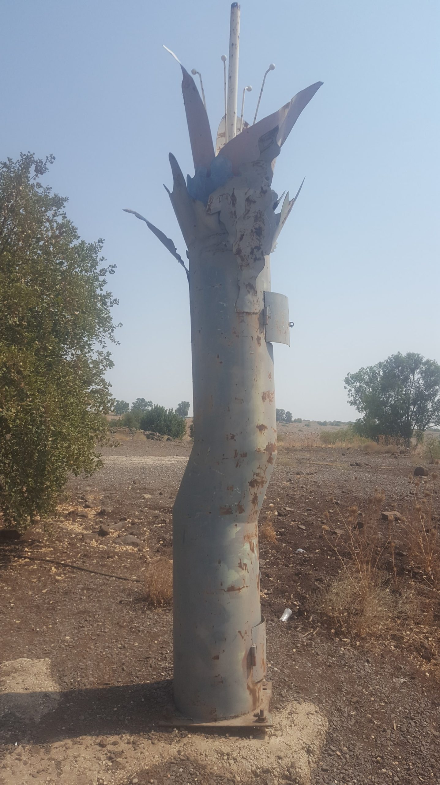 A sculpture
 The lowest point of the lookout with the Panorama view, with the Eucalyptus tress. The legend say the Israeli spy Eli Cohen advised the Syrians to plant those over all posts to shed the soldiers (you can read his story here). But really marked the location of the posts for the IDF during Six Day War.
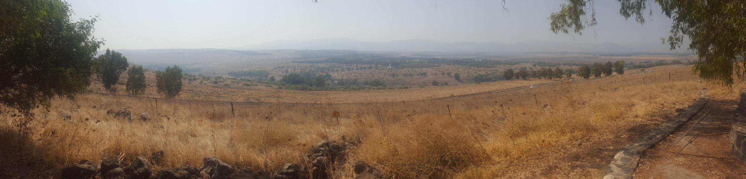 The view from the lowest point: Down below is Jordan river, down to the left Ateret fortress, straight ahead is the road to Safed, east to the road it is Old Mishmar HaYarden monument and Kibbutz Gadot.
loading map - please wait...
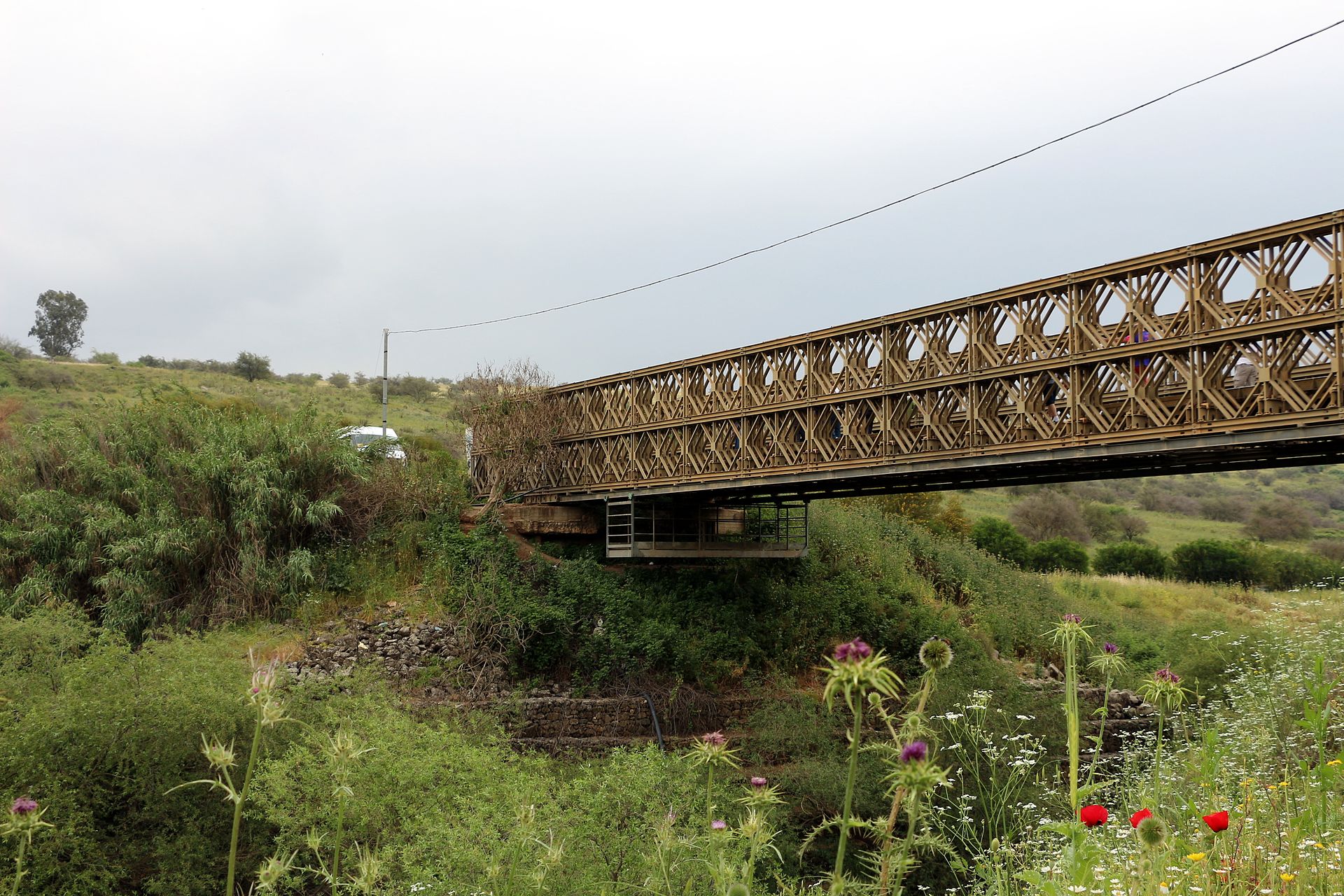
Bnot Ya’akov bridge
At the foot of the post, there is the Bnot Ya’akov bridge (Daughters of Jacob Bridge), one of the main crossing points on the Jordan river. This is one the important routes named “the sea route” (Via Maris) which led to Syria and Damascus. During the 12th century the bridge is mentioned as a battle site between the Crusaders and the Muslims. In 1799 the armies of Napoleon crossed it. The Turks and British fought each other in this area in 1918. In the early 1930’s British Cavalry soldiers, stationed on the bridge, dug drainage pits and found fossilized animals bones and stone tools dating back to the Early Stone Age.
The bridge was blown up by the Palmach, the elite forces of the paramilitary organization Haganah, at the “Night of the bridges” in June of 1946. After the Six day war, engineering soldiers set up two Bailey bridges (portable truss bridges), on for traffic moving east and the other west. During the Yom Kippur War in 1973 there was a thought of blowing up the bridges of fear the Syrian army cross the bridges. Only in 2007 a permanent concrete bridge was built instead. One of the beautiful bridges is still standing in place. One version, which refers to the name of the bridge, says that Jacob’s daughters crossed the Jordan river at this point on their way to Israel. Another version relates to the monastery for women in Safed called “Jacob Monastery”, where bridge crossing fees were part of its income.
More information of the fights on the bridge, as well as pics can be found on Naamoush (Blog in Hebrew on Six Day War).
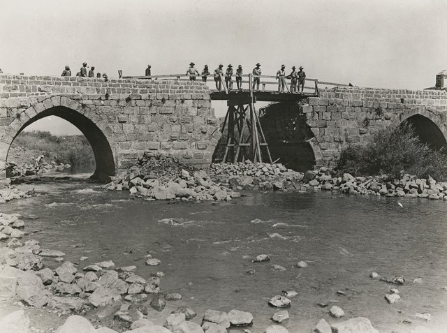 Bnot Ya’akov bridge rehabiltion on 1918 (Source: Australia war memorial)
 The Bailey bridge that was left on the site, 2015 (Source: Wikipedia, )
loading map - please wait...
Bnot Ya’akov bridge location
Ateret Fortress
South to the bridge is Ateret fortress.
This Crusader fortress was built in the late 12th century, during the reign of Baldwin IV, the king of Jerusalem, in order to protect the bridge, crossing the Jordan river in this area.
About a year later, before the completion of its construction the castle was destroyed by Saladin.
With the discovery of the fortress in 1994, researchers were surprised to find a vertical fracture and displacement or rocks in the Northern and Southern walls of the fortress. The presence of the mound along the great Rift fault caused the displacements of the rocks during numerous earthquakes. To the delight of the researchers this geological fault facilitates the study of tectonic plate movement in this area.
loading map - please wait...
Ateret fortress location
Old customhouse
Above the post, on the road leading to the Golan Heights is the old customhouse, established in the late 1920s by the French who ruled the Syria, which served as a passage from Israel, which was then under British mandate, to Damascus, Syria. The impressive building is considered to by unique according to conservation experts and architects (there are two Bauhaus buildings and a stable). In 2014, construction for a boutique hotel was set on the site while ensuring conservation and restoration of the building. You can see how the construction progress in Xnet article.
loading map - please wait...
The Old Customhouse
Take Care
Gad