
Hi,
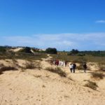
We decided to start hiking with Jannaeus and took a short walk on a trail of Sorek stream mouth:
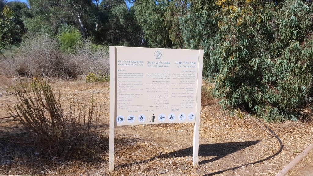
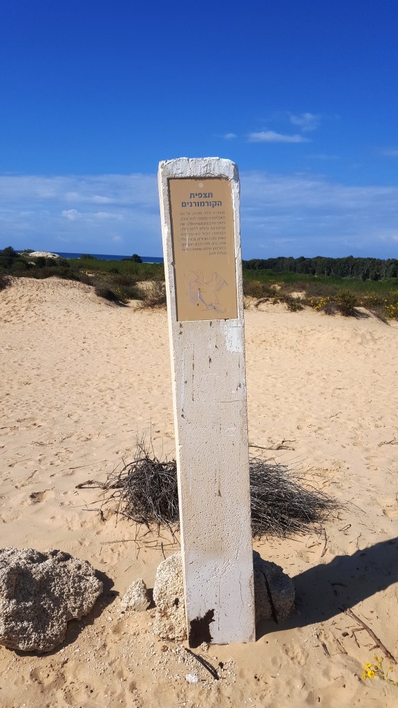
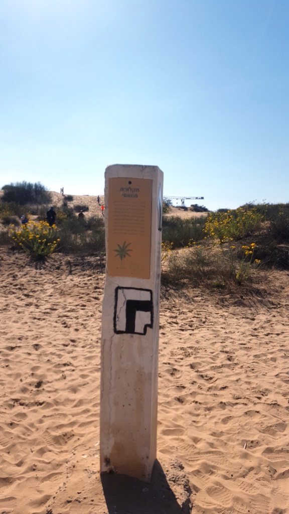
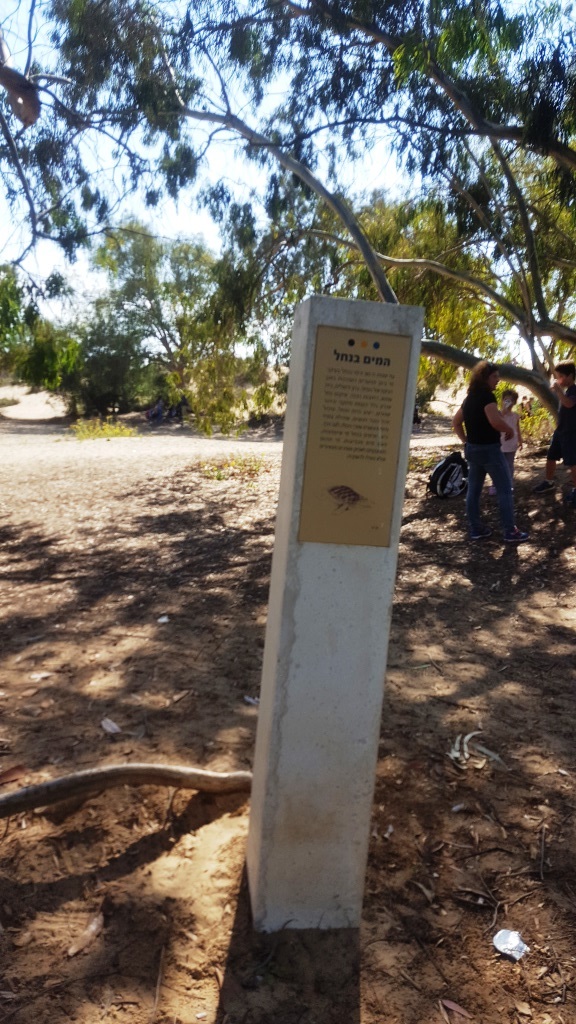
The sign to the trailhead
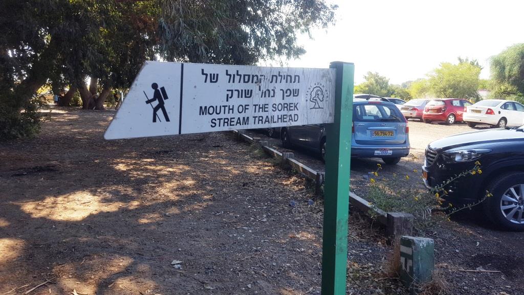 The sign to the trailhead
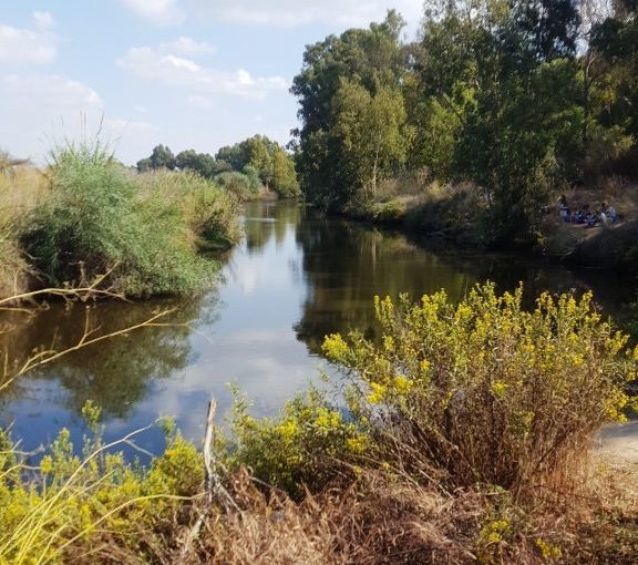
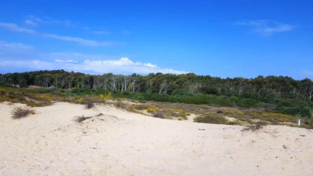
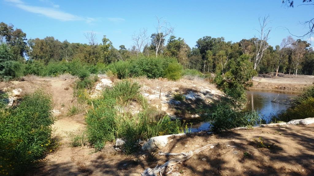
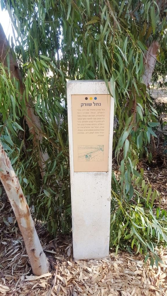 Sorek stream start its way in Jerusalem mountains. The stream is about 70 km long and cross the Shfela around Beit Shemesh, moves to the coastal plain and flows to the Mediterranean sea near Palmachim. In Jerusalem mountains, in the natural reserve Nahal Sorek, the stream creates big curves which their slopes covered with trees. In the Shfela the stream spreads to a wide valley, and the land around it is used for agriculture.
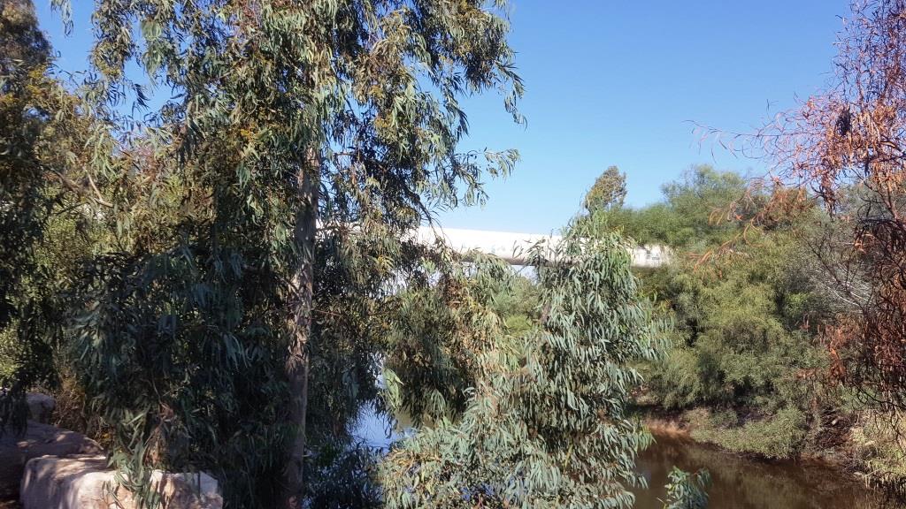
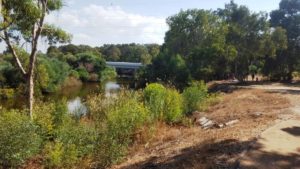
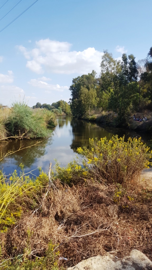 Looking up the stream
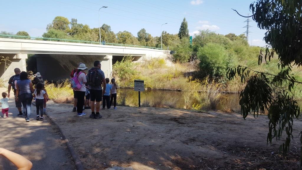 The stream going under the bridge
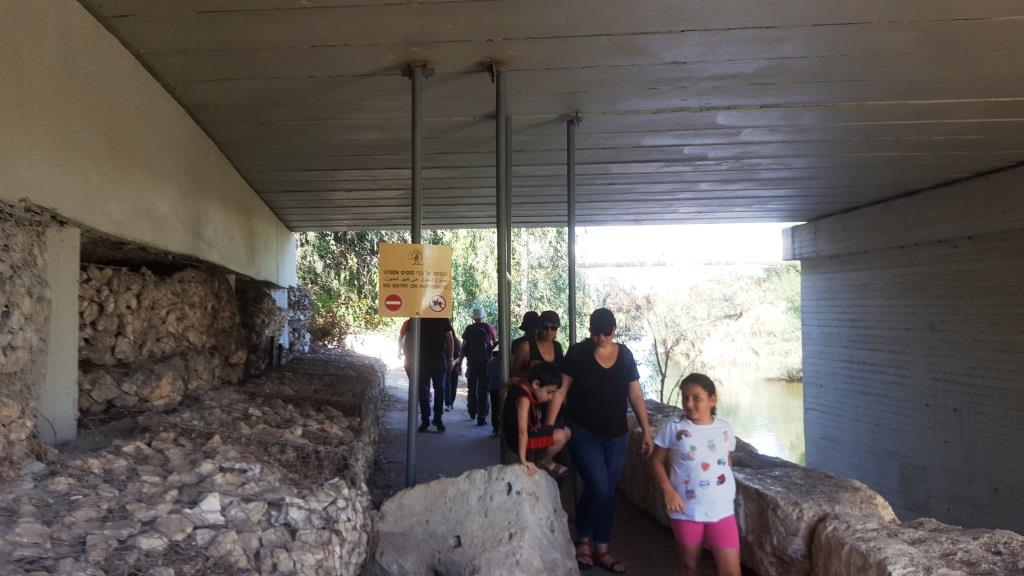 Going under the bridge. The sign an the poles are to preventing horse to enter the reserve.
Water pipe from the near by Palmachim desalination facility
 The sign in the entrance to the natural reserve park
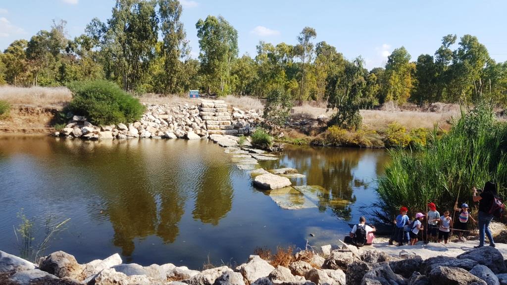 A cross over to the other side of the stream
 Agave – a relative of the Narcissus, is originally from the deserts of Mexico. The plant grow with big fleshy leaves which ends in a sharp sting. When mature, the plant has a hugh flowering column 5 meter high. After blooming the plant is dead, but is roots grow up new plants. In past The Agave Sisalana had grown in Israel and was used to produce ropes.
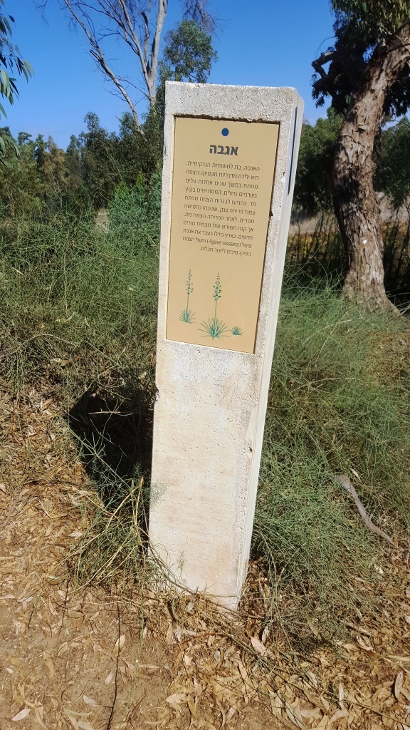
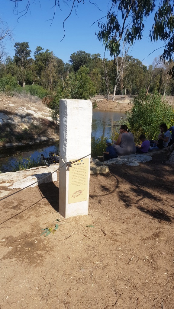
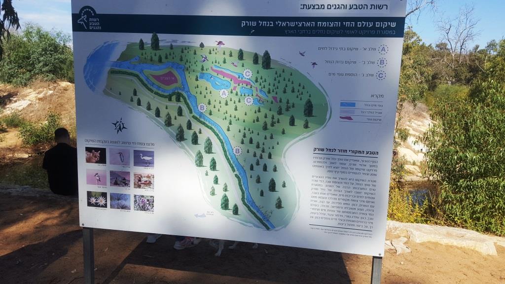 A sign explaining about rehabilitation of the Israeli flora and fauna in Sorek stream.
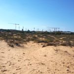
Getting closer to the sea, the stream past the sand on the sea shore. You can see Palmachim desalination facility.
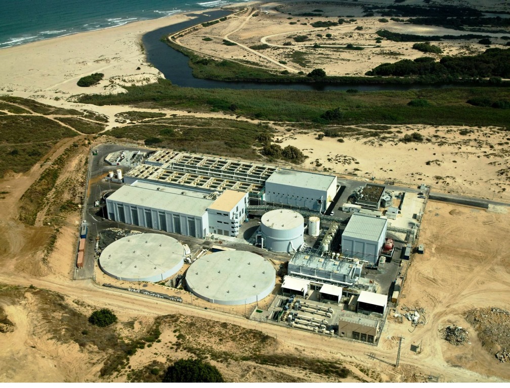 Palmachim desalination facility
 The Sign of Cormorant hill – This look North to the Eucalyptus trees north of the stream. During the winter those trees host hundreds of Cormorant birds for the night. The Cormorant is a sea-bird, 80 cm ling, mostly black except for the neck and cheeks. It eats fish that he hunt when diving to the water.
 The Eucalyptus in the other bank of the stream.
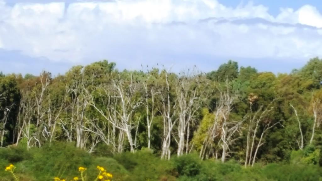 Already some Cormorant birds on the tree.
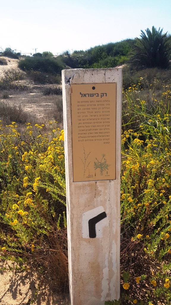 “Only in Israel” sign – In the sands of Israel coastal plain there are about 30 endemic plants (plants that only grow up in specific places), and those are about a quarter of all the endemic species in Israel. Jaffa groundsel and Israeli Polygonaceae are two of those plants.
 Source of the sand in coastal plain sign – The Nile river, as a main river flowing to the Mediterranean sea, is the reason to the accumulation of the sand in the coastal plain . The river carry with it stones that go a process of abrasion to sand, that settles in the river delta. It then carry by the sea streams to Israel shores. Those sand dunes are relatively young – only couple of hundreds years old.
 The sand properties sign – The sand in coastal plain is mostly made of relative big Quartz grains (up to 0.2 mm). The sand grains are not combined and have many air space. This property responsible to other property: seepage, low Convection making the sand surface to heat very fast, and sand erosion when the a strong wind blows.
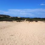
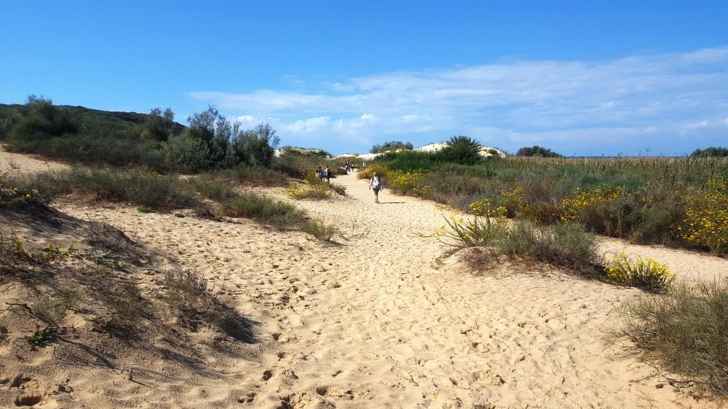 Going to the sea shore
 Muasi agriculture sign – The Muasi agriculture is a type of agriculture that develop on sand near the sea shore. It based on high groundwater.
 Water bank plants sign – showing images of those types of plants.
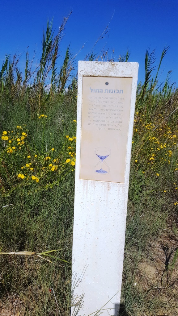
 The water in the stream sign
 The turtle island sign – The island is an artificial island s built in 2002. In this area the Caspian turtle lives. This turtle is a reptile lives in sweet water, it is 25 cm length, mainly lives inside the water, and one in a while goes out to warm in the sun. The authority of park and nature is returning the soft turtle to the stream. It is a big turtle, up to 120 cm and up to 50 kg.