
Hi,
It is week 30 and we are on our way to check some childbirth rooms in hospitals around us.
We also starting to stock equipment and knowledge ![]()
I decided checking out an old and ruined railway that I found during the time I spending wondering around in the maps of Amud Anan.
The railway was built by the British forces of Allenby in 1917 during the Sinai and Palestine Campaign in WWI. The railway stretched between the Eastern railway to the village Al-Lubban.
After taking over the South part of Israel and Jerusalem, The British forces were stopped by the Ottoman–German forces along a line crossing the country from East to West. The line was between two convoluted rivers – the Yarkon and Auja. Auja means in Arabic “meandering”, because both the rivers are such, and the Yarkon is known as Nahr al-Auja in Arabic, the line is referred to as “the line of the two Aujas”.
This line stood between the 23rd of December 1917 (west frontier) and 21st of February 1918 (east frontier) until September 1918 when the Meggido offensive started (leading to the battle of Megiddo, Battle of Sharon, Battle of Nablus, and the Third Transjordan attack). During the war the P.M.R. (Palestine Military Railway s) built railway along the country, as the British army marched into Palestine.
This railway was a narrow railway, only 76.2cm (narrower than standard 143.5 cm railway width) and stretched for 20km and was built in only 6 months. Because the British kept the offensive, the railway was used for the original destination for only a short time. The railway had several branches, mainly for quarries and it was abandoned after the Independence war.
 Atzva belly
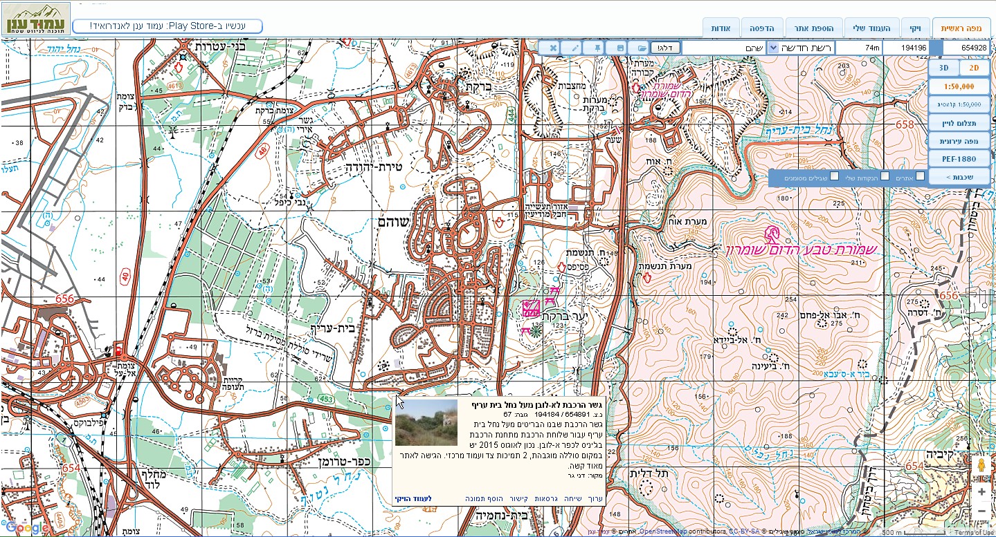 A screenshot from Amud Anan site. The red line marks the route of the railway.
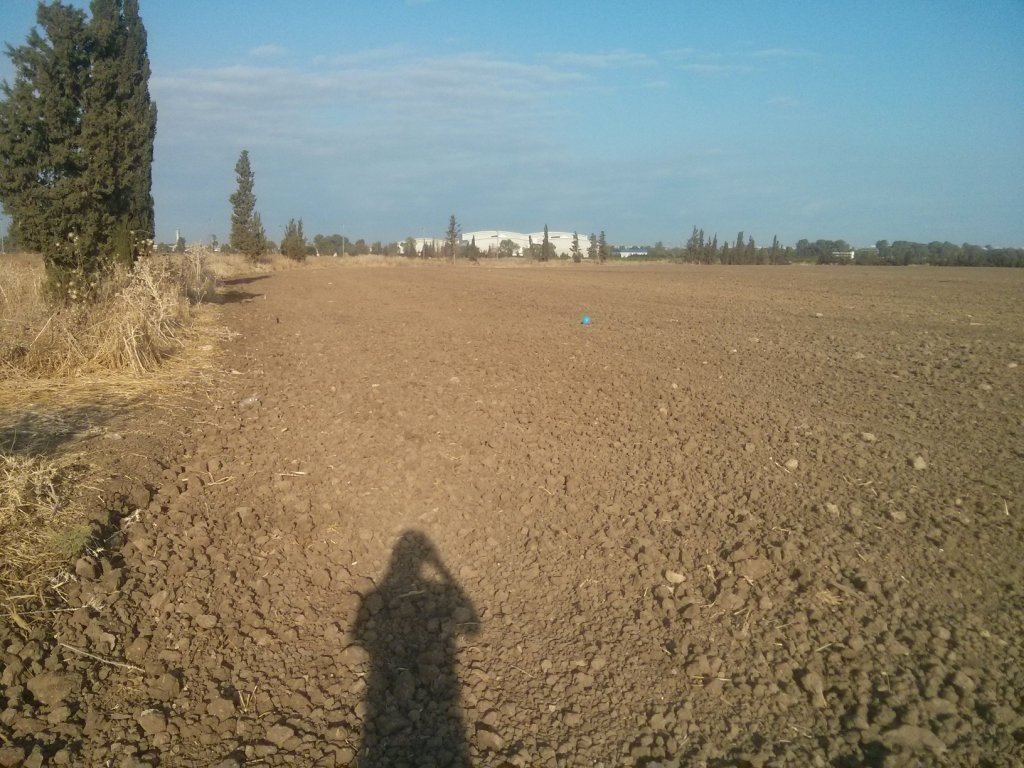
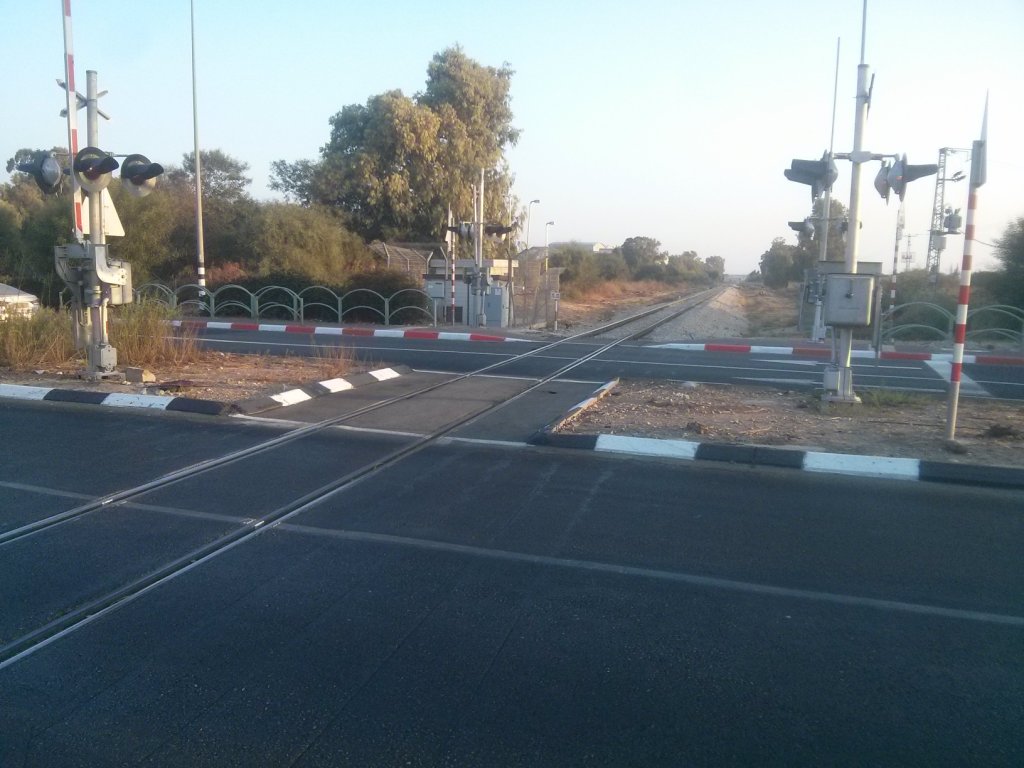 The Eastern railway crossing the road
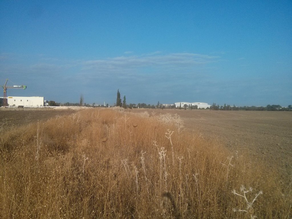
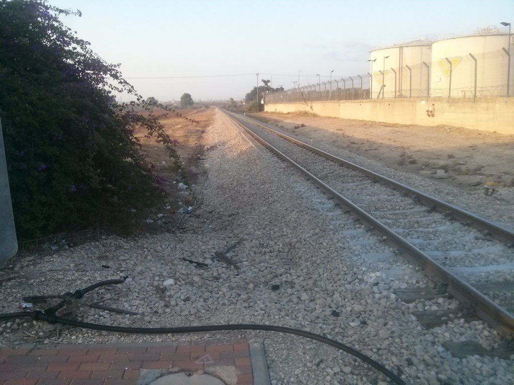 The Eastern railway looking South. To the right are the Ben Gurion Airport oil tanks.
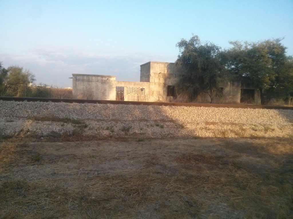
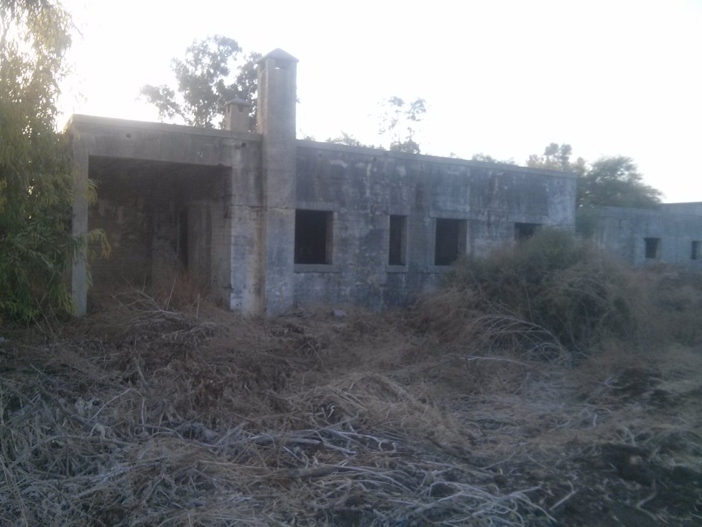
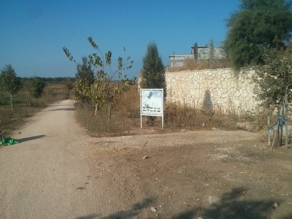
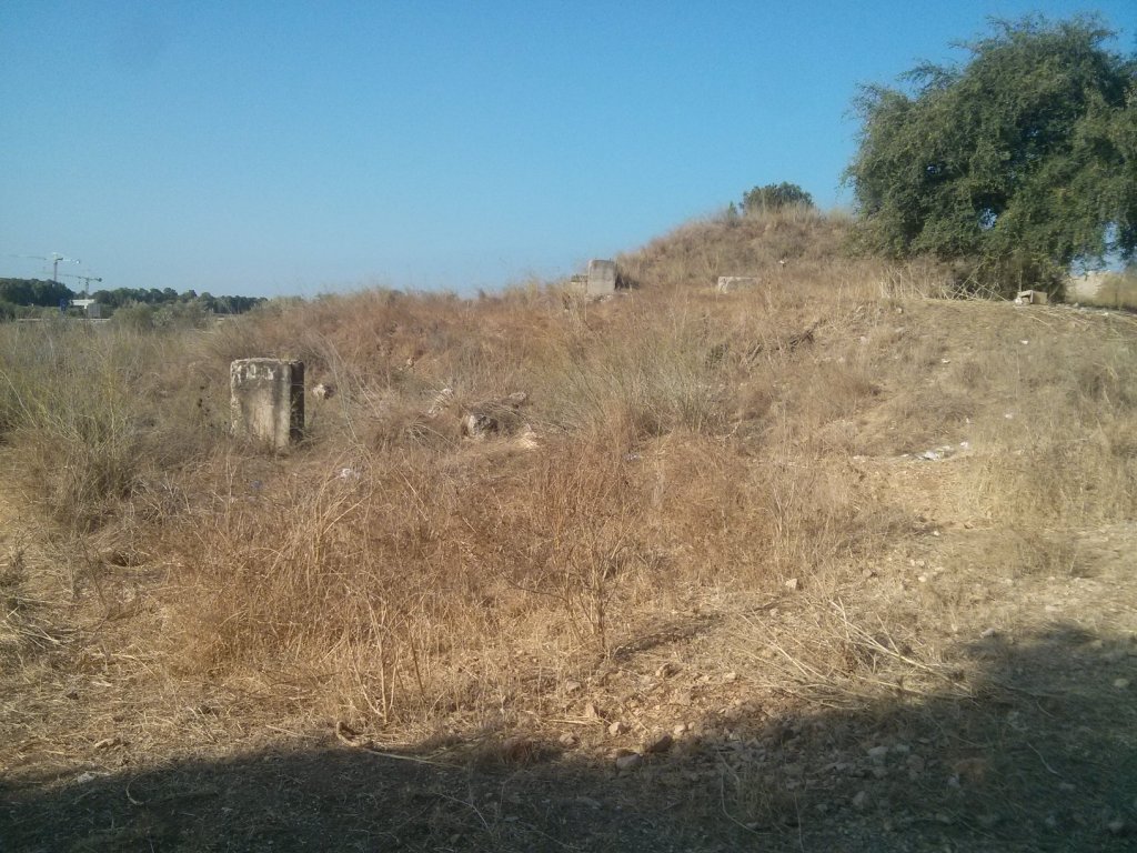
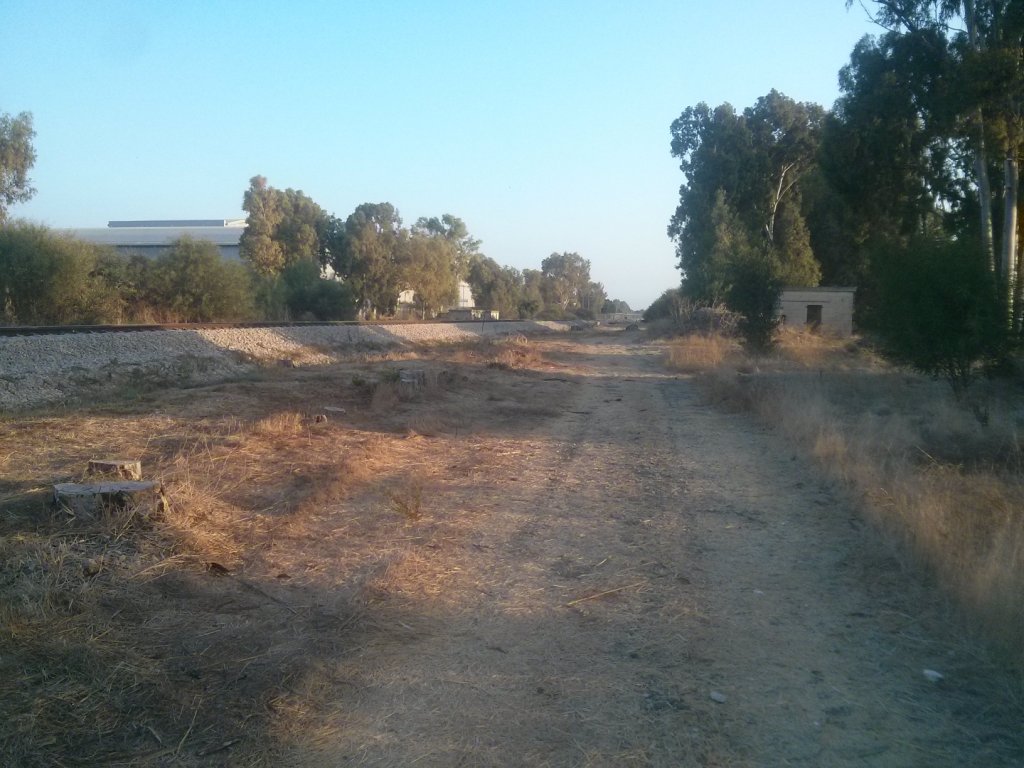 Kfar Jinis station
 Kfar Jinis station building
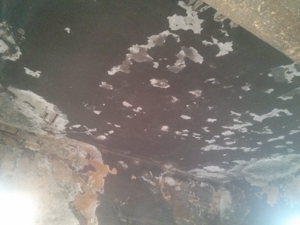 The building roof
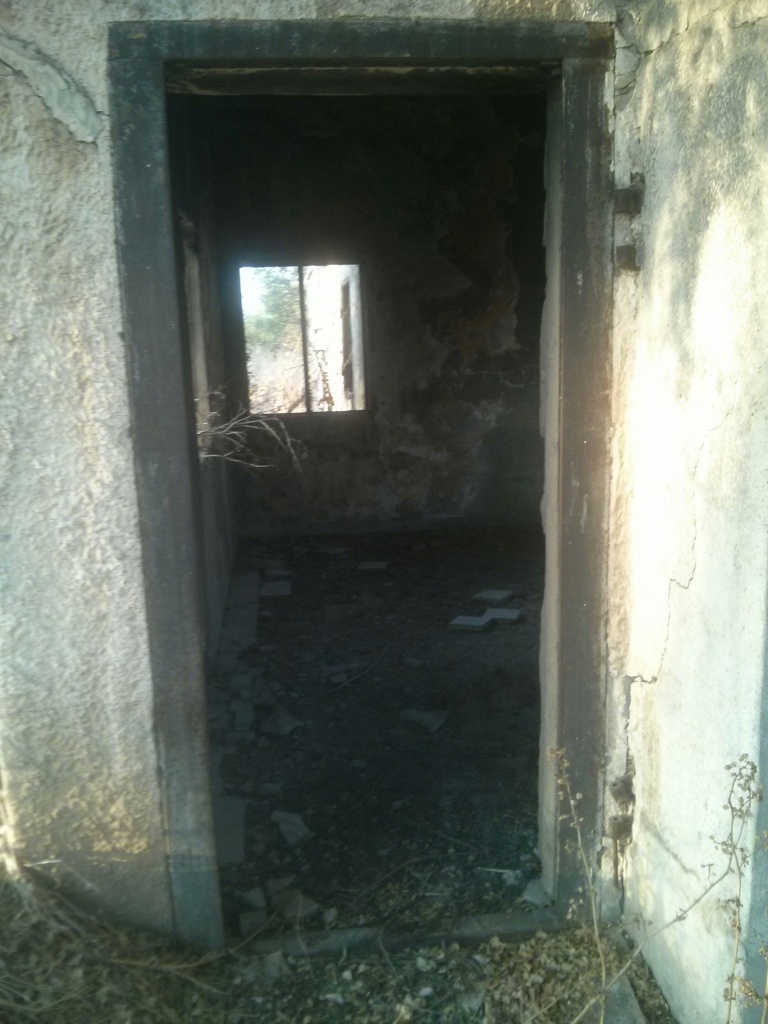 The station building entrance
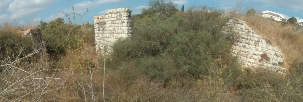
 Station building on the other side

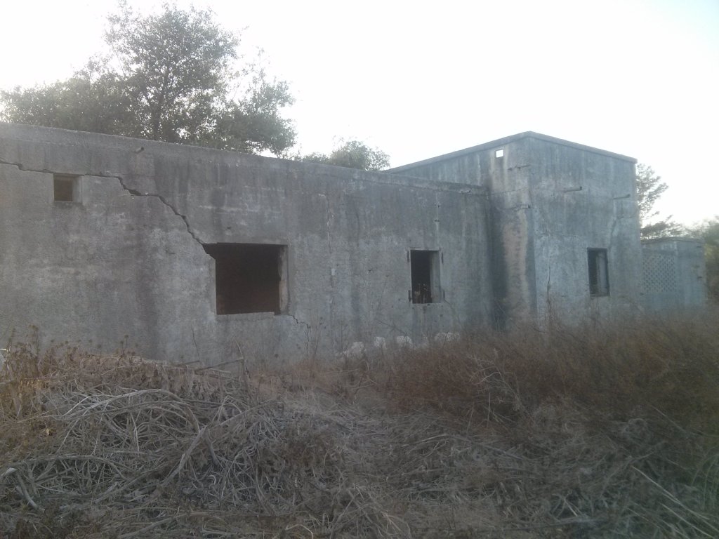
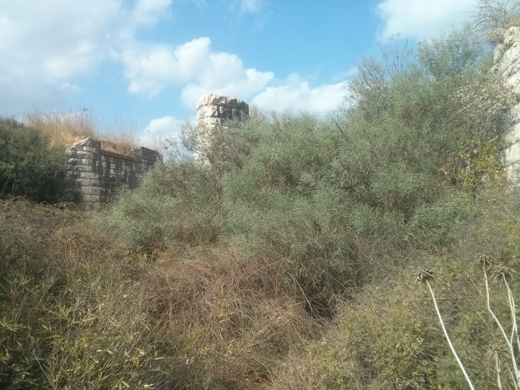
 Another building in the station – probably the office building
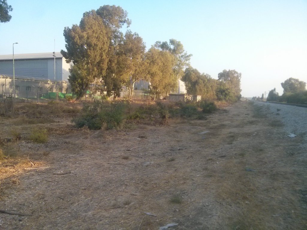 Logistic building and the airport buildings behind it. During the 1950’s the station was used to transport oil for the airport.
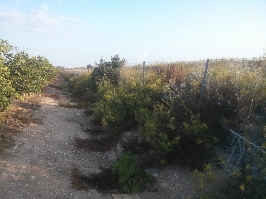
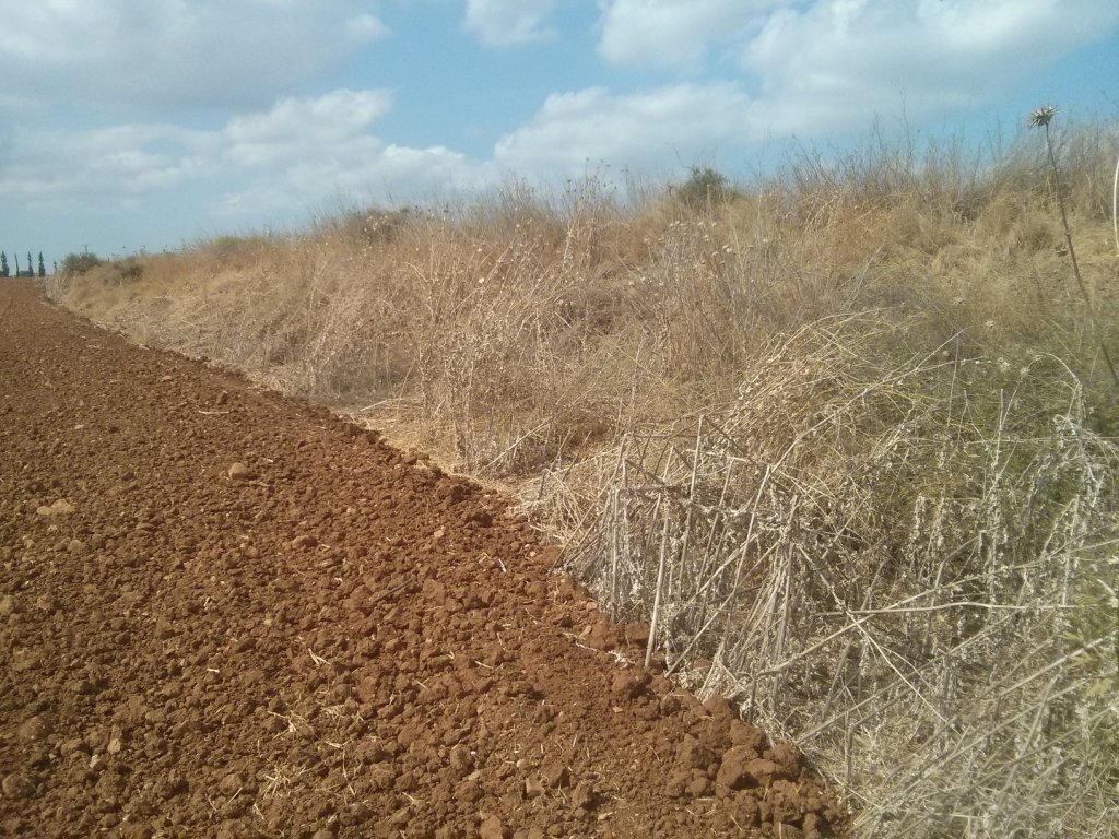
 The arched road is where the railway was used to be.
 Why other such an arched road will be in those fields?
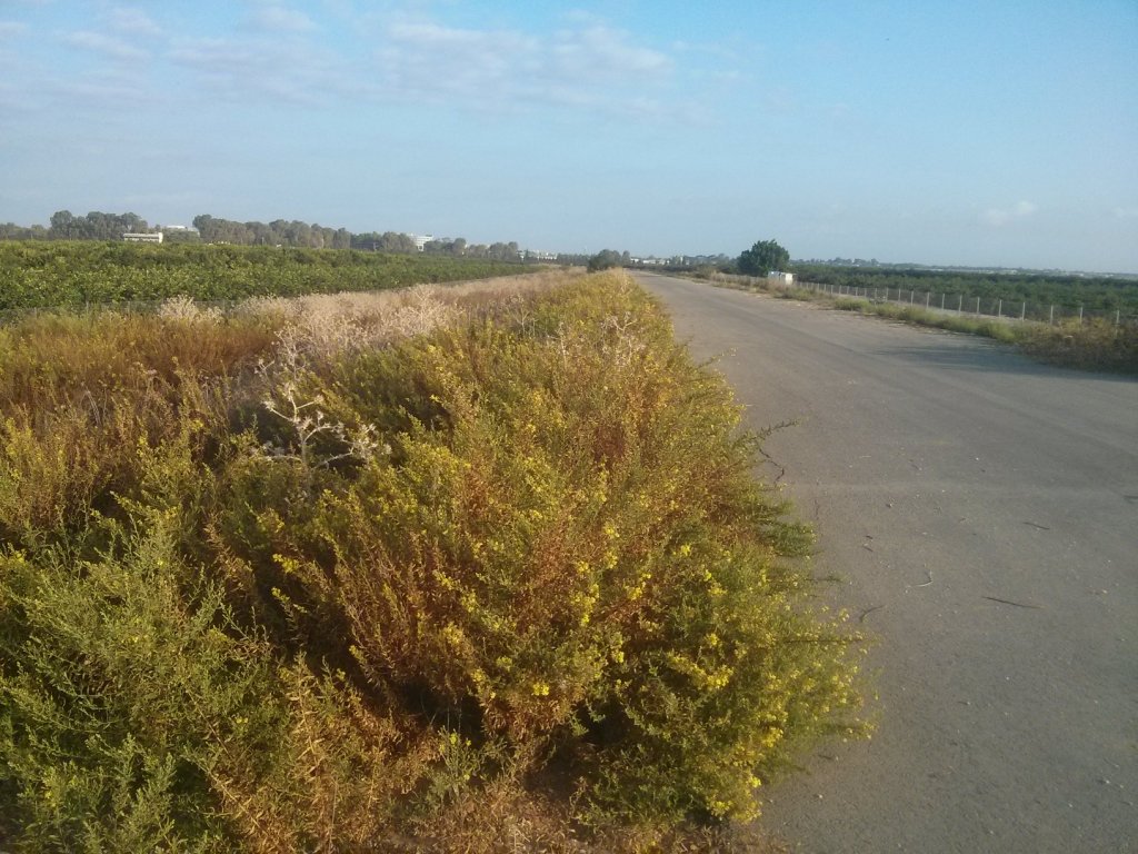
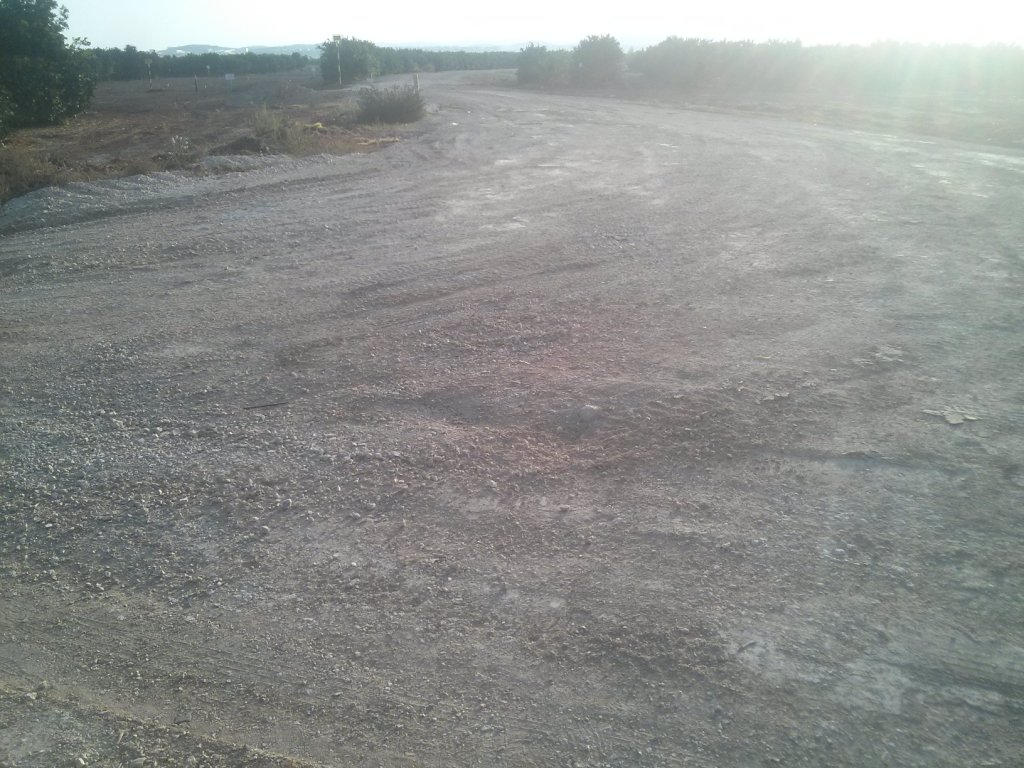
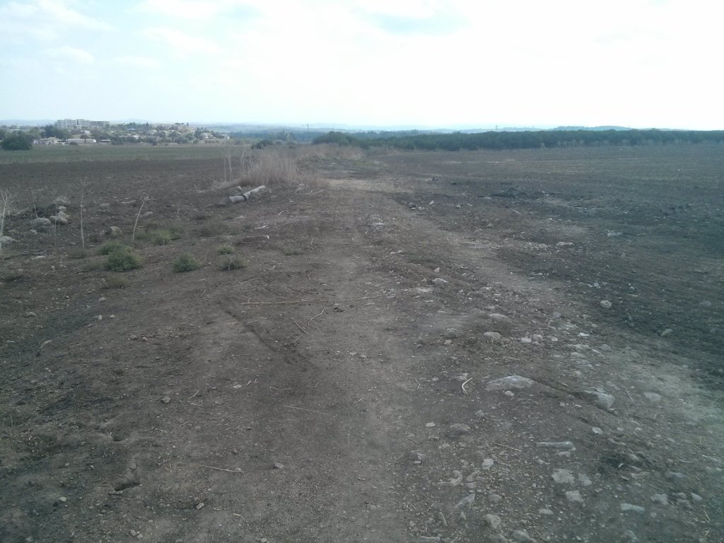
 The levee and the new road along it, leads to the Airport city
 The levee in the distance and Shoam in the horizon.
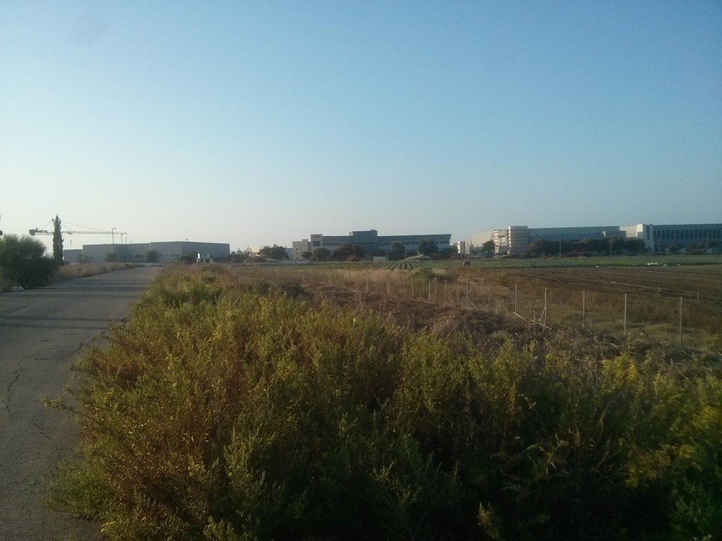
A nice industrial building in Airport city area
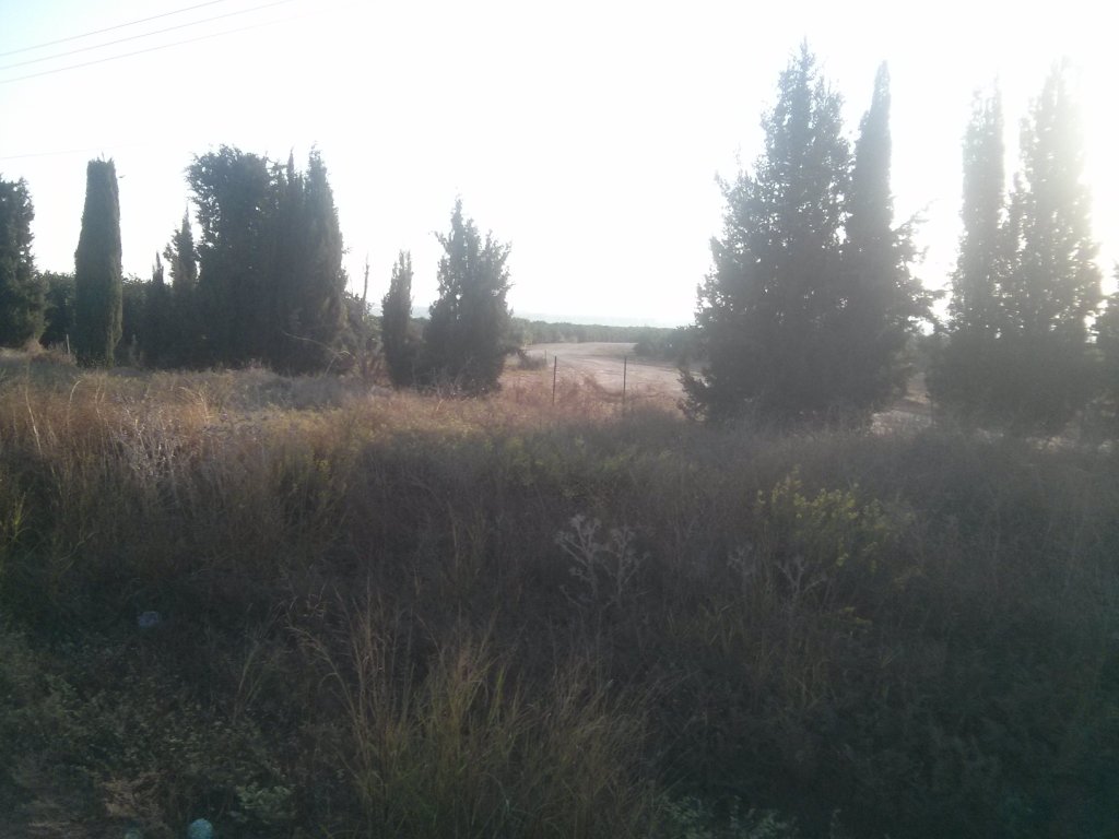
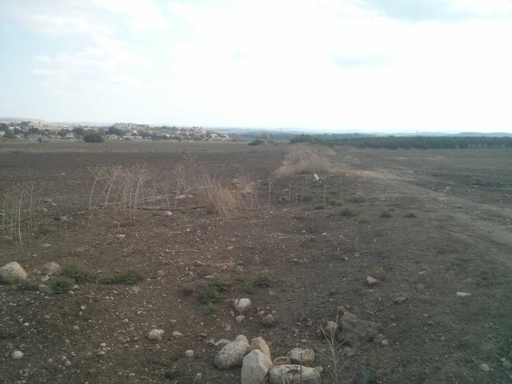
Looking on the levee running in the fields…
Finally! a water pipe under the levee. A proof I am on the railway route.
More water pipes along the levee.
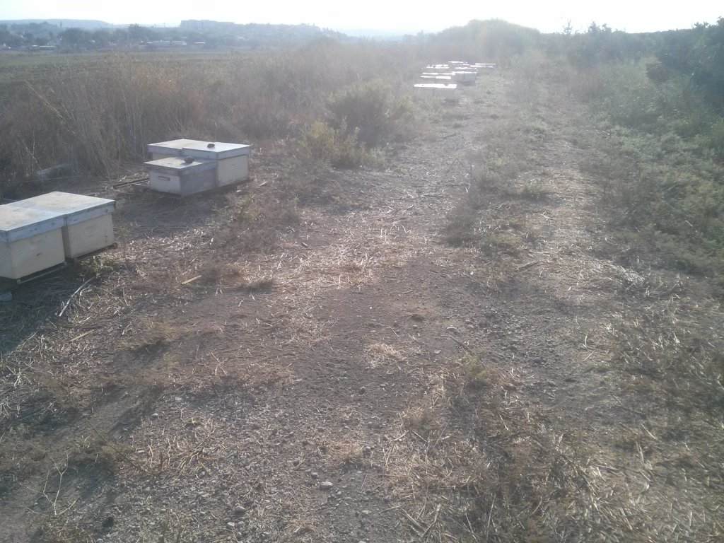 Some beehives on the levee – Al-Lubban
 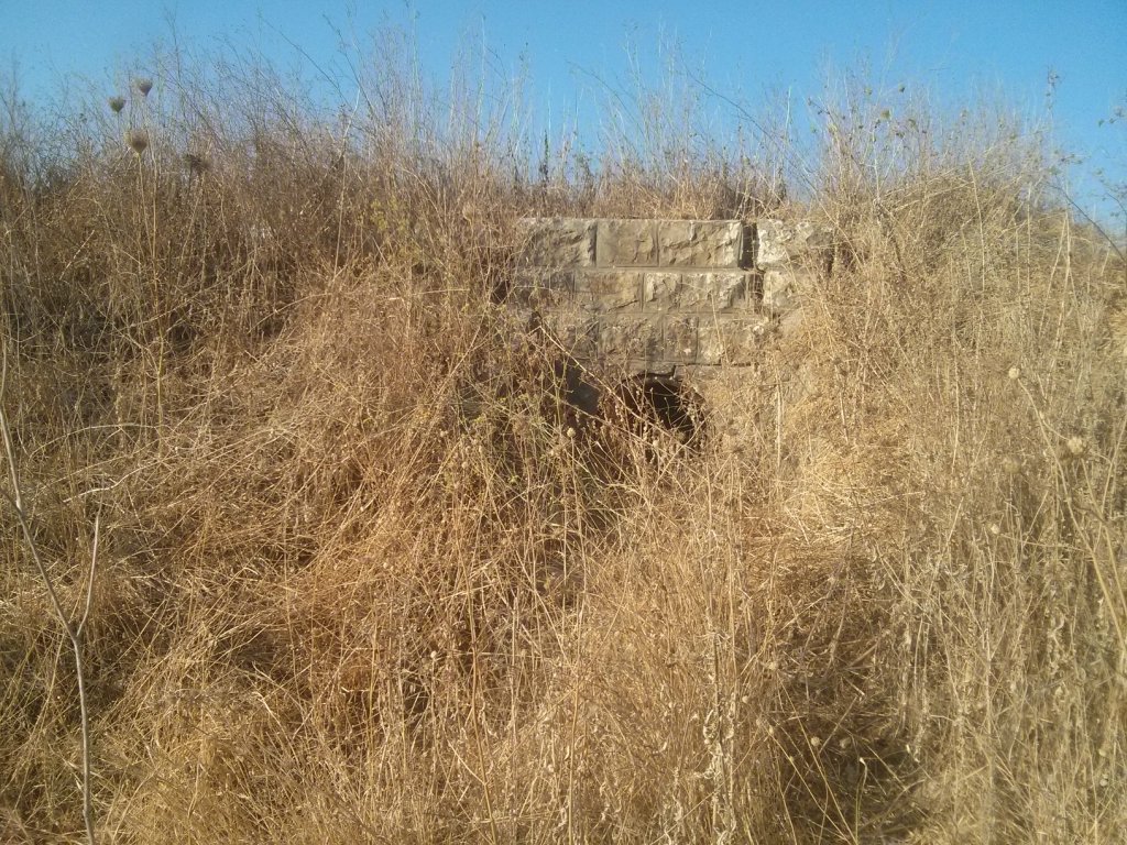 A big water pipe under the levee
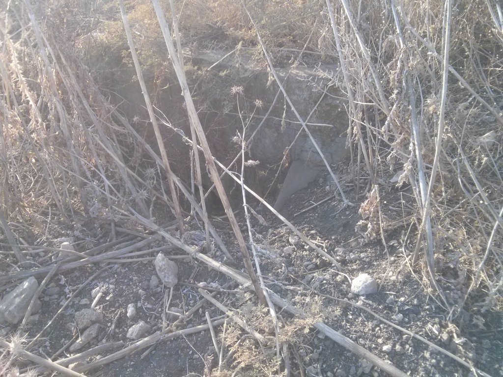
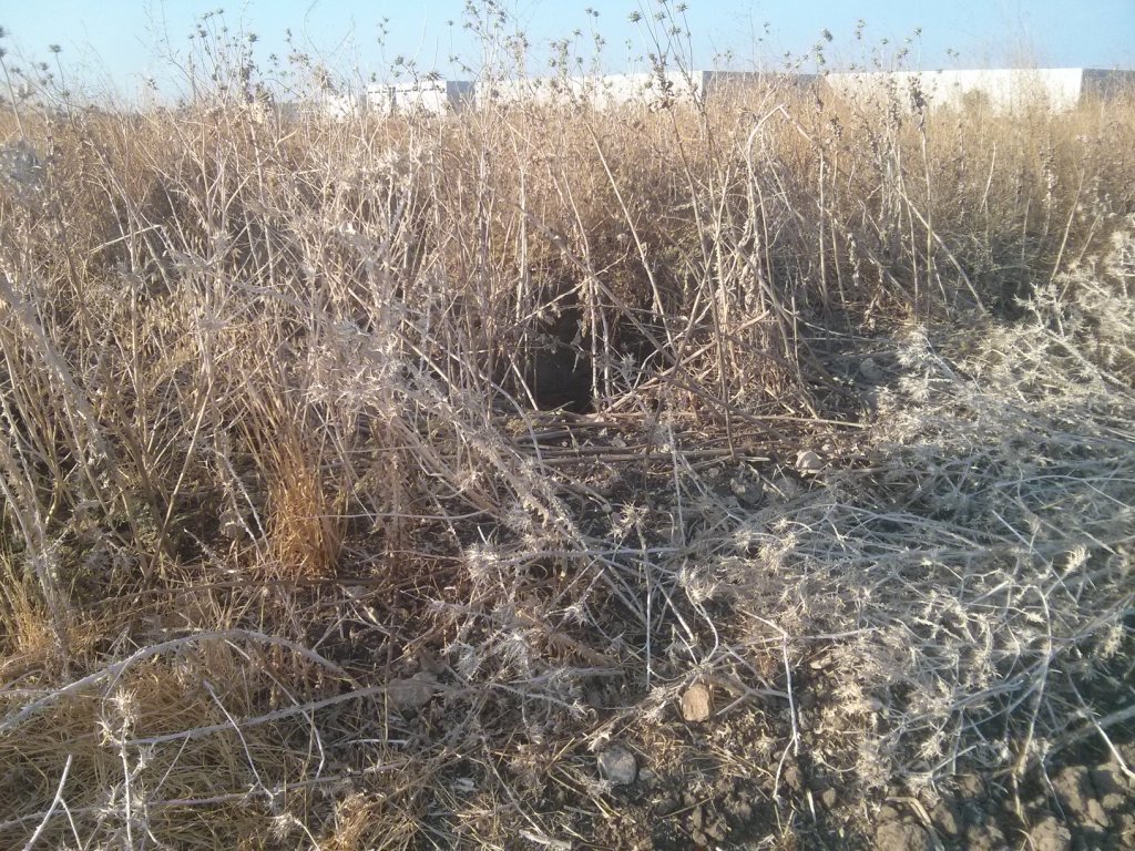
 Running in Wadi Beit-Arif looking for the railway bridge. I only found it on the way back.
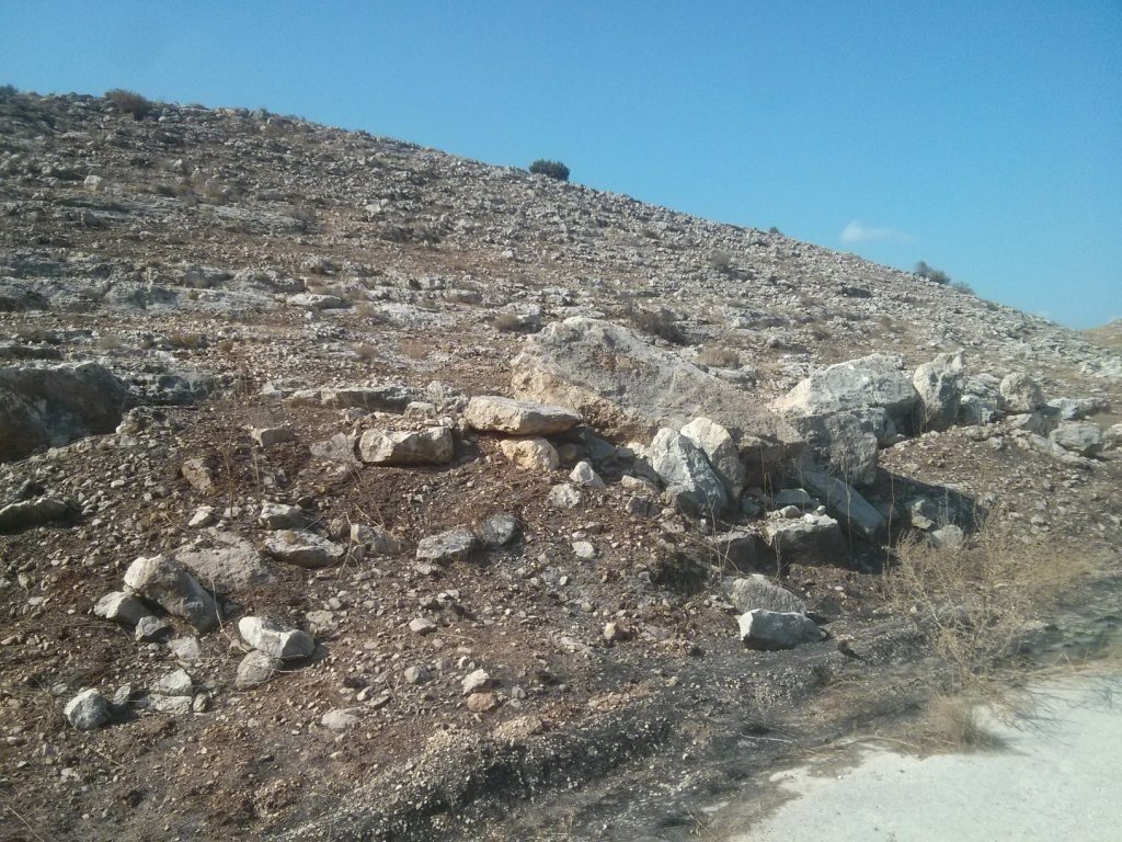
 The quarry that was used for the ballast of the railway
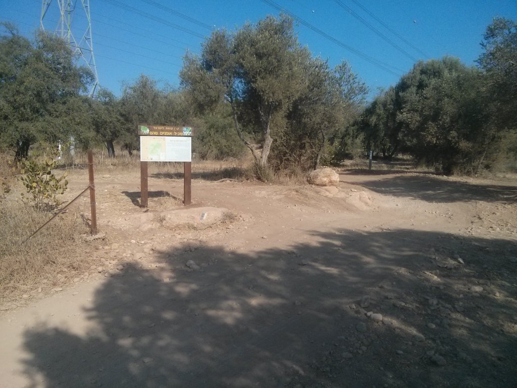
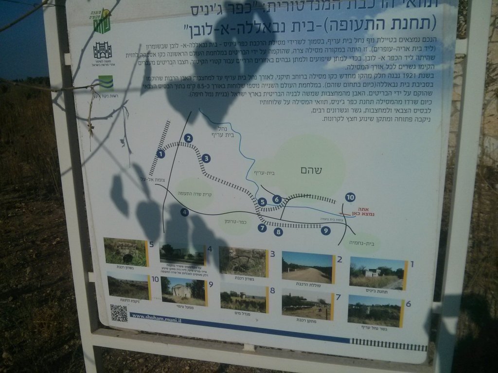 A sign near Shoam about the railway track
 Crossing a new bridge under road 444
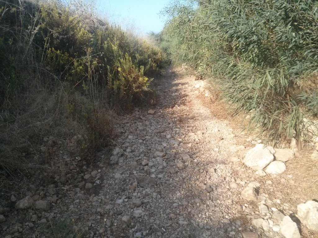
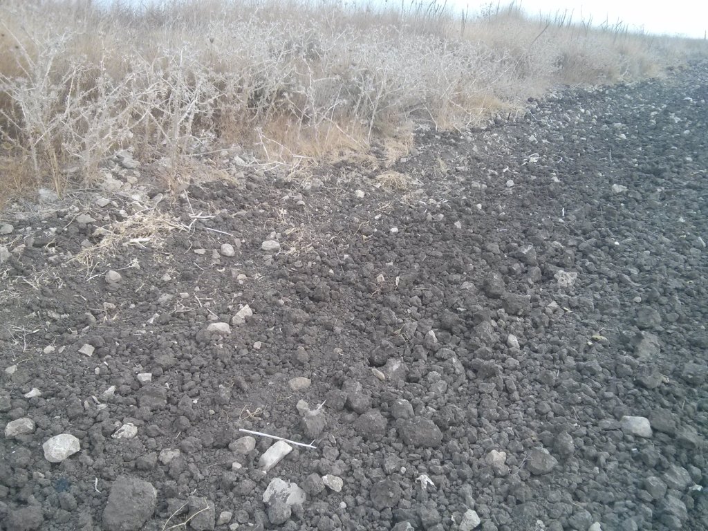
 The ditch for the railway
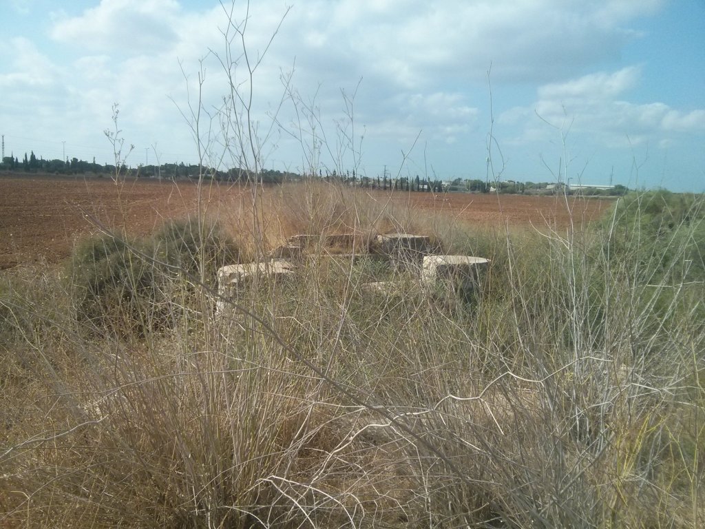
 The columns were used to load the train with stones from a nearby quarry
 In that point I lost the route
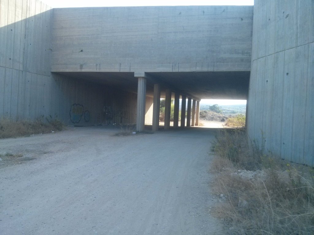
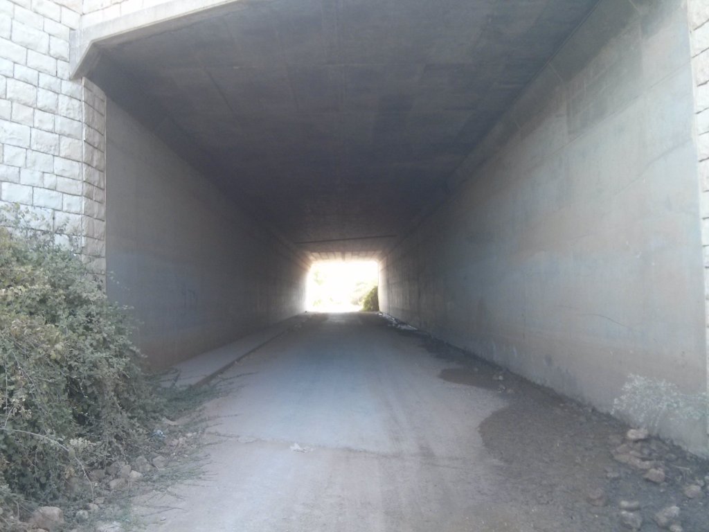 The tunnel under highway 6
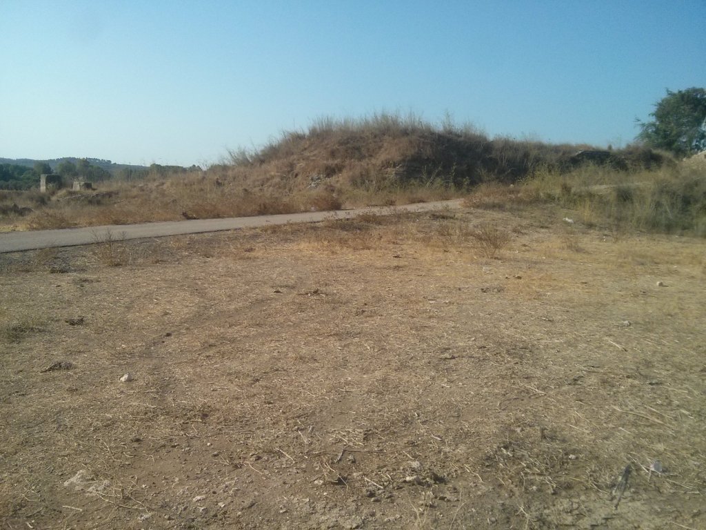
 I was running East of the highway, although the railway was probably running West of it.
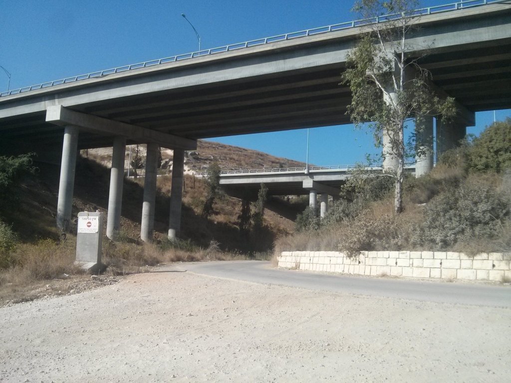 The highway bridges. Underneath it there are the remains of a bridge, but I couldn’t find it
 ![]()
 Looks like some party just ended or will start this evening
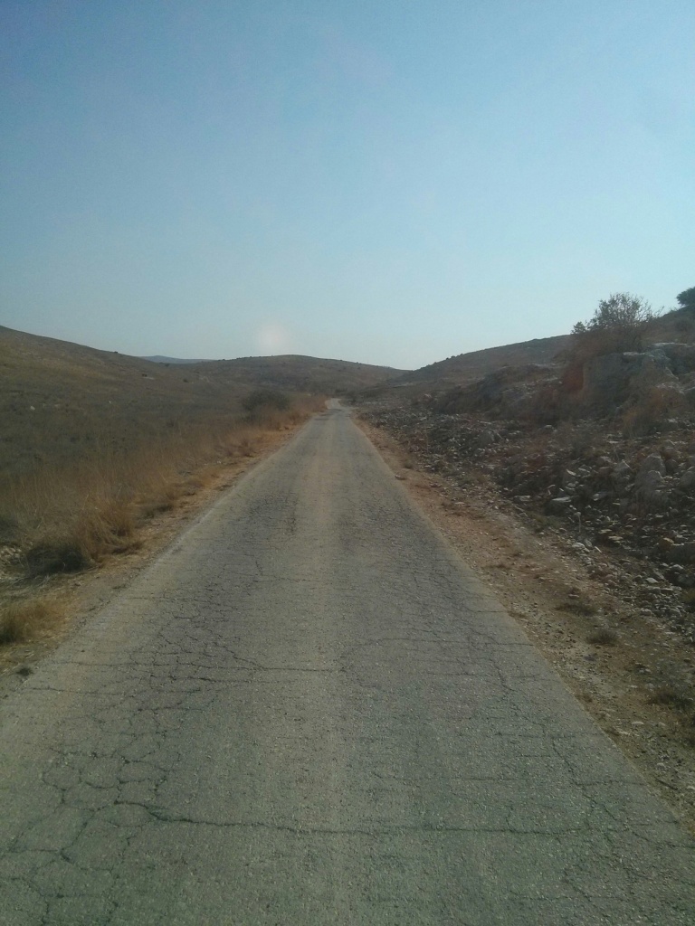
 The railway route is now a road running along the slopes of the hills.
 The big Arch of the railway
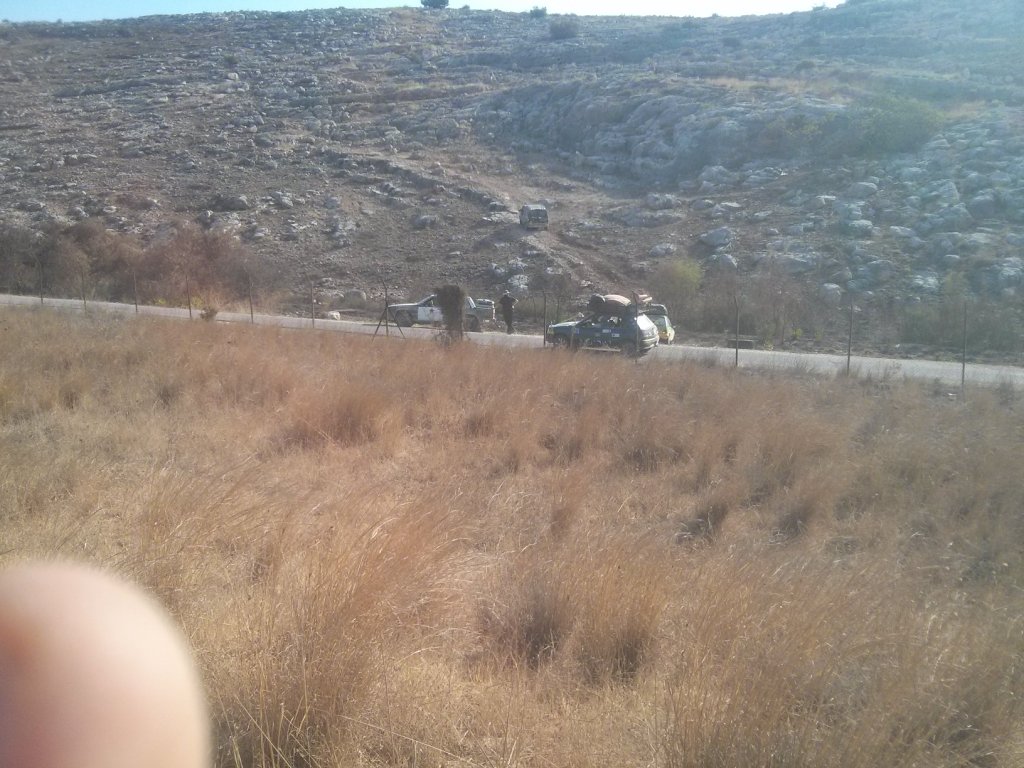
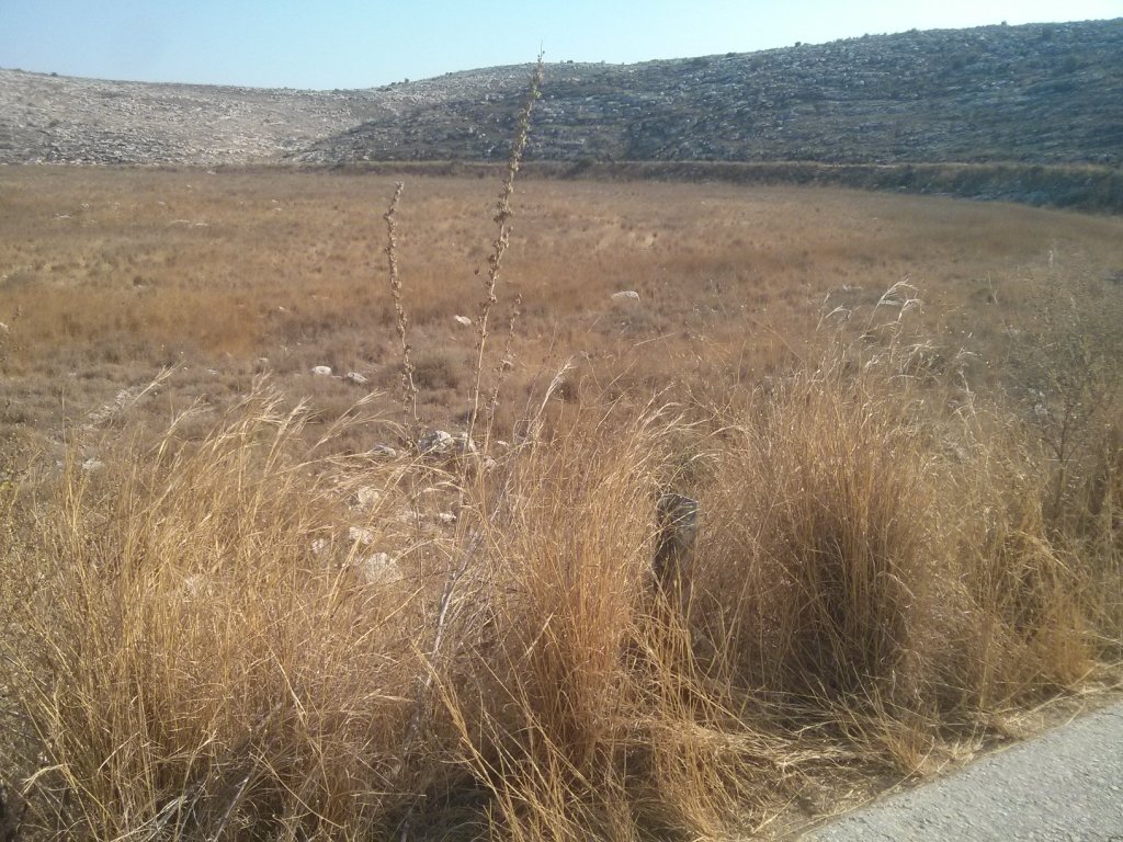
 In this point I realized I should start going back, it was late and the If you look closely you can see couple of Gazzelle
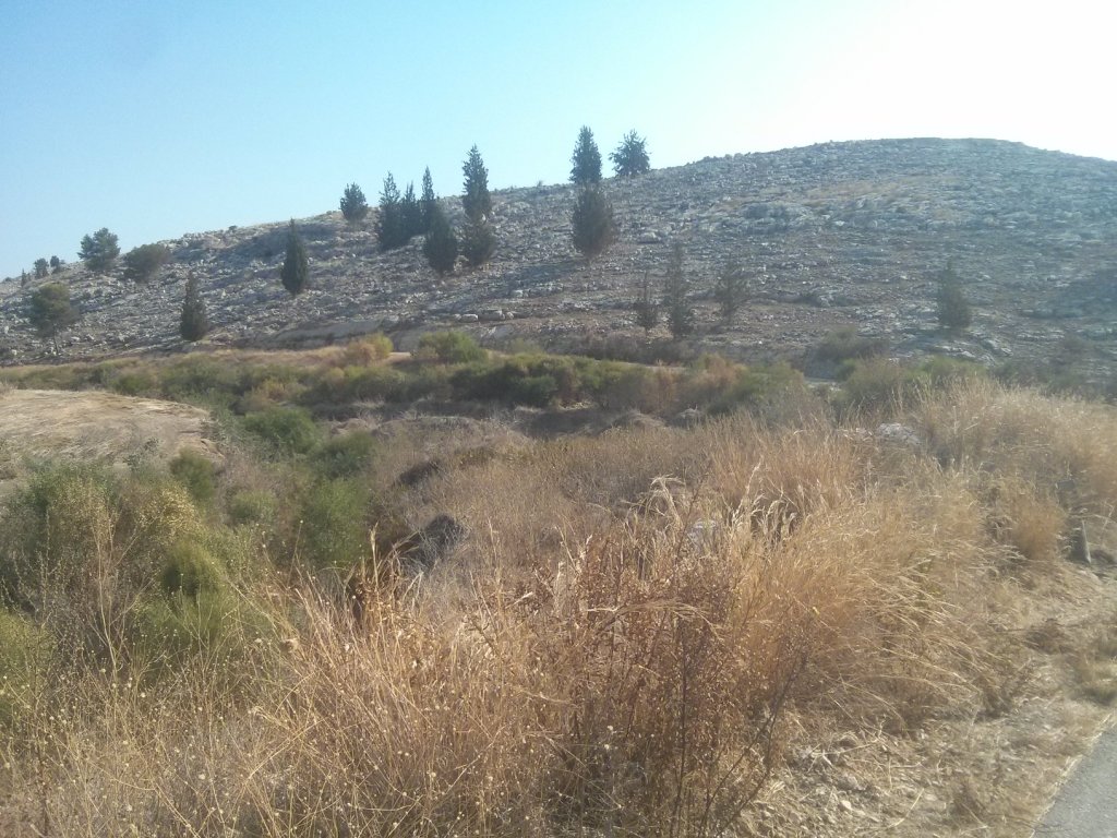
 This area is the edge of an IDF training firing zone – The slopes of the hills are black and grey.
 Found the bridge! It was really hard to find and get to.
 Couple more pics of the bridge
 ![]()
 On the way back the levee is more easy to recognize
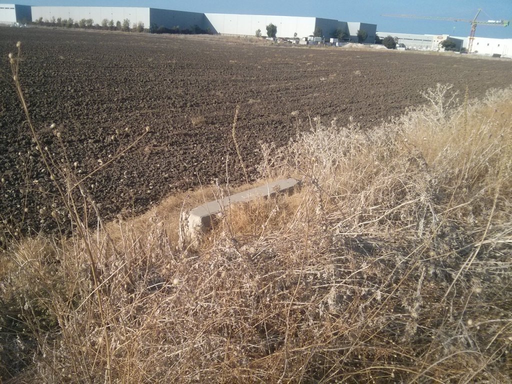
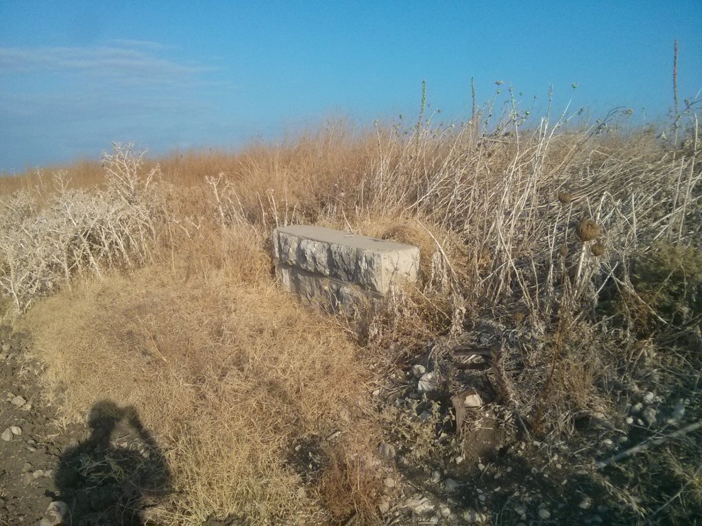
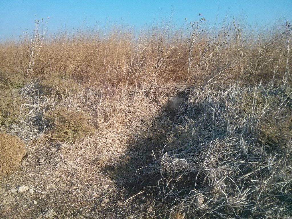
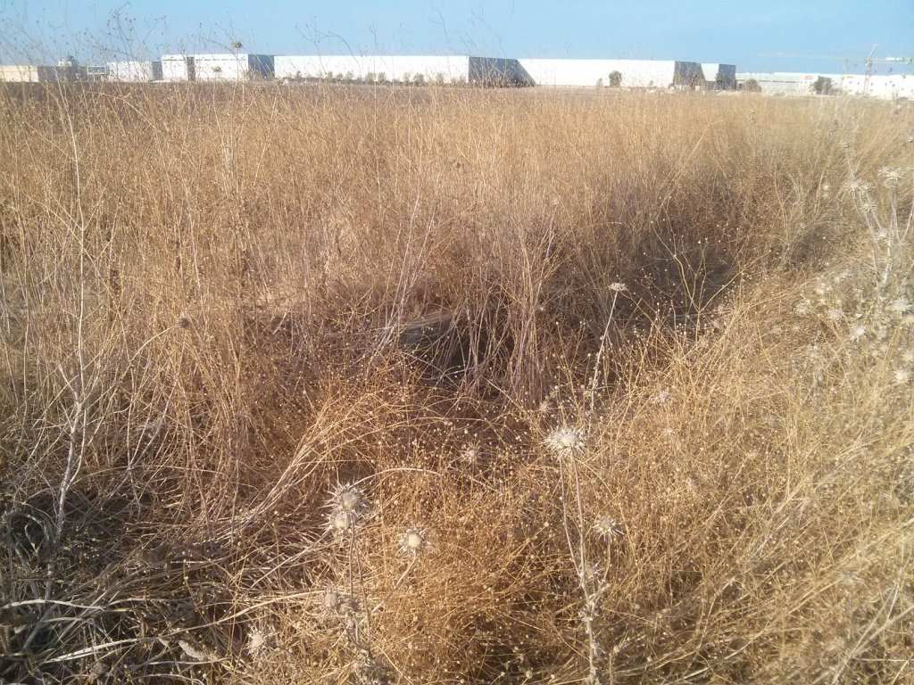
 What is this?
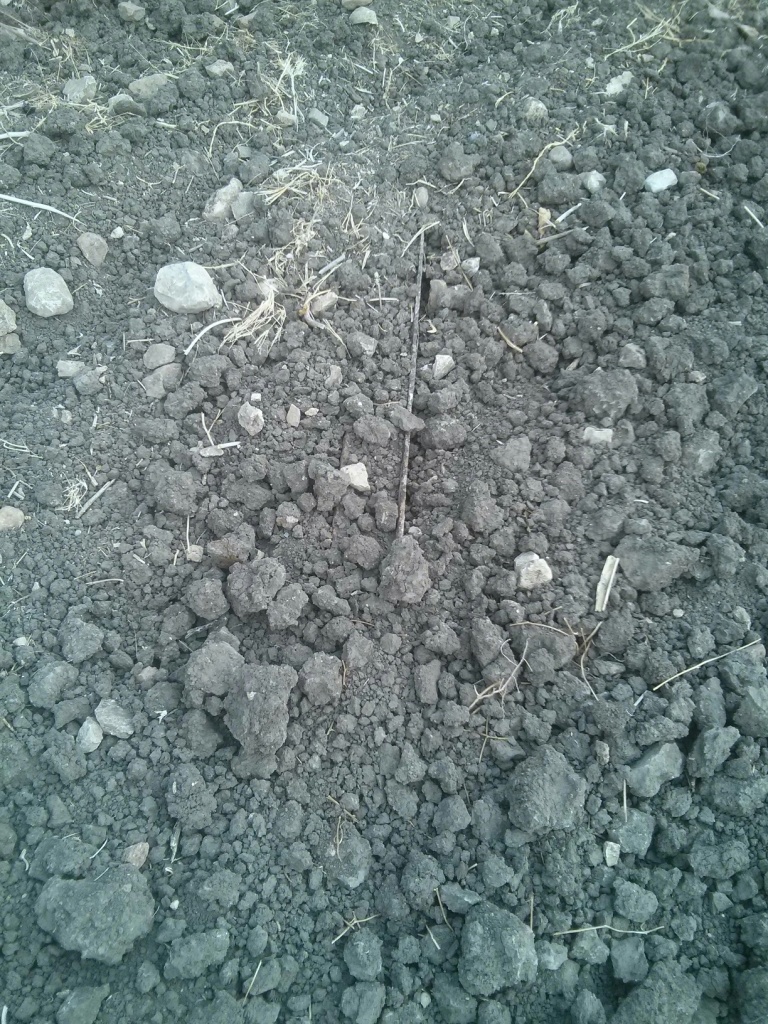 Look closer
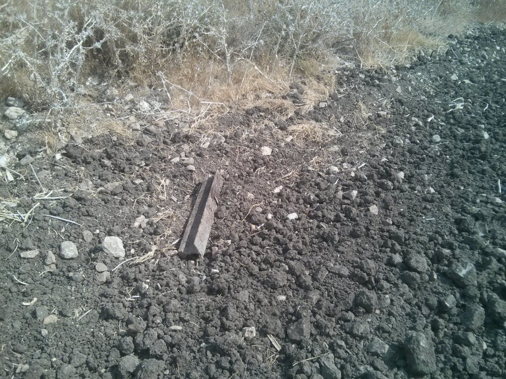 Yes! a piece of a railway track!
 ![]() I feel my quest is complete! If only I had power to take it…
I feel my quest is complete! If only I had power to take it…
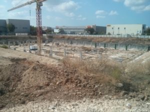
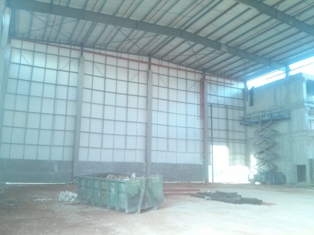
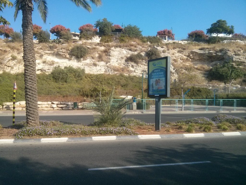
Another construction site in Airport city area, on the way back to the car.
loading map - please wait...