
Hi,
I got a chance to visit in Ghajar, in day light without uniforms and the fear of get hit by an anti-tank missile of Hezbollah. At first I was not sure I will be able to get in there.
The village was closed since it was seized by IDF forces (1967) and until 2000 there were different policies for Israelis to visit here, but but from 2000 could only visit with a special permission from the IDF. Only in 2022 you could visit the village as a tourist.
I already wrote you why it happened here, but shortly – it is not clear if the village is Syrian (as Israel claims) or was in Lebanon (as Lebanon claims). Anyway when Israel withdrew from Lebanon it had to cut the village in half, because during the years Israel held a security belt in Lebanon, the village spread north over the original Israel-Lebanon border.
Israel is the one to set fences on its borders with the Arab countries around it, because it is the one that getting attacked. It usually also create a buffer zone, where civilians cannot access. While the Arab countries usually do not see any problem with civilians building their houses on the border.
In the case of Ghajar you could not set the border in the middle of the village. Setting the border around the whole village means Israel is annexing the northern part of it from Lebanon. So the solution was the build the border fence south of the village, and only allow the citizens of the village getting in and out of it.
That means that if you were living in Ghajar, there was nothing preventing you from driving into Lebanon. And when you got into Israel you had minimal to none checks. This situation opened the door for a smuggling industry around the village.
About 3 years ago, the citizens of the village made a fence around the northern part of the village, separating it from Lebanon, which allowed for all Israelis to visit the place.
Take Care
Gad
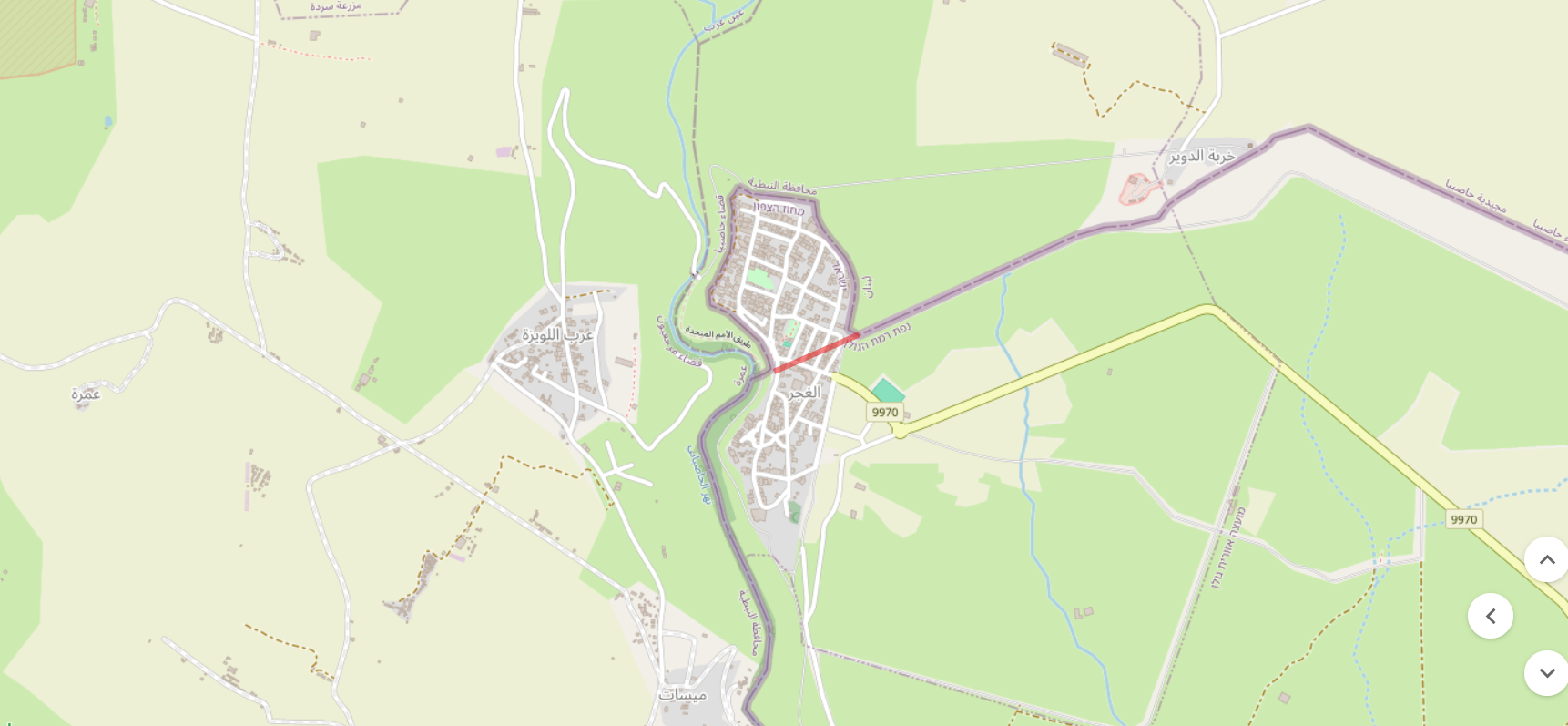 A map of Ghajar: you can see how the fence going around the north part of the village instead cutting through it (I added the way the border should have been in soft red line) (Source: AmudAnan)
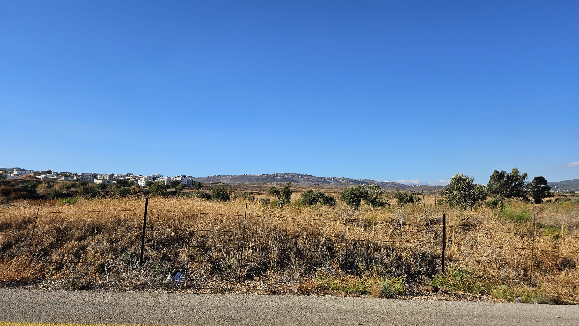 El-Khiyam village in Lebanon from the road to Ghajar village
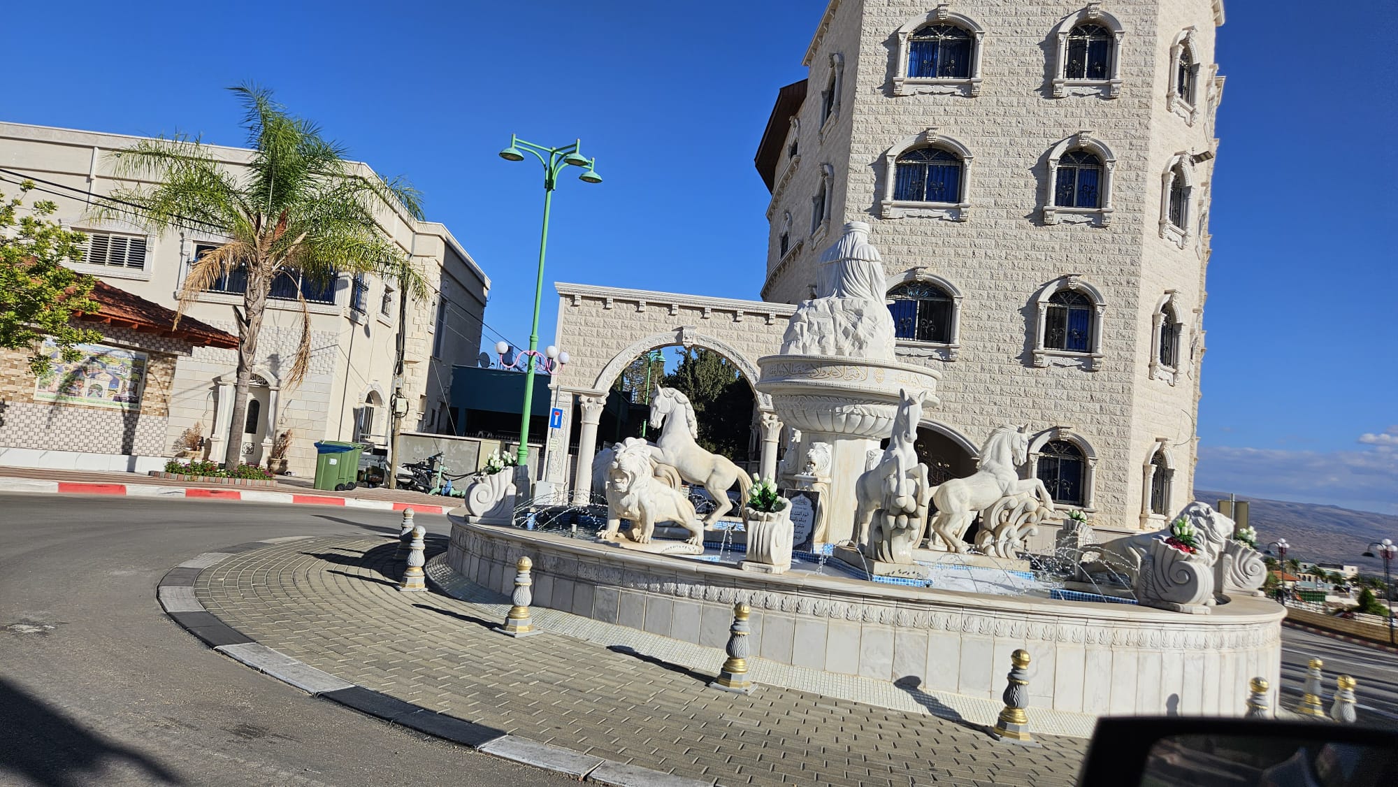
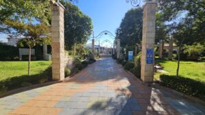
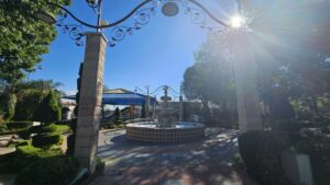
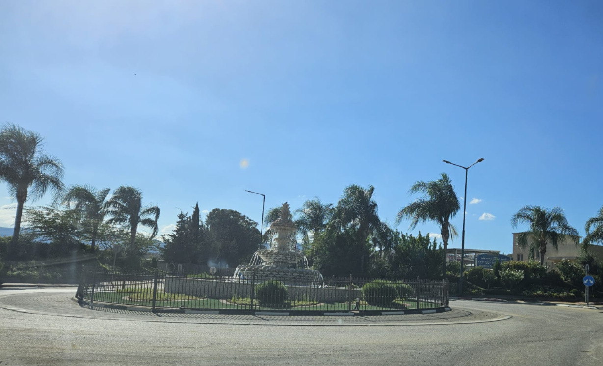 The water fountain in the entrance to the village
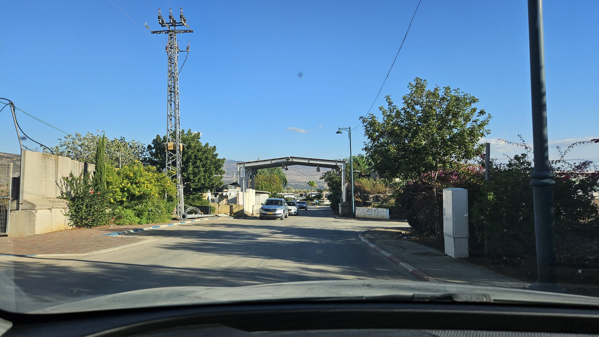 The entrance gate to the village in day light (apparently there is a another gate further in)
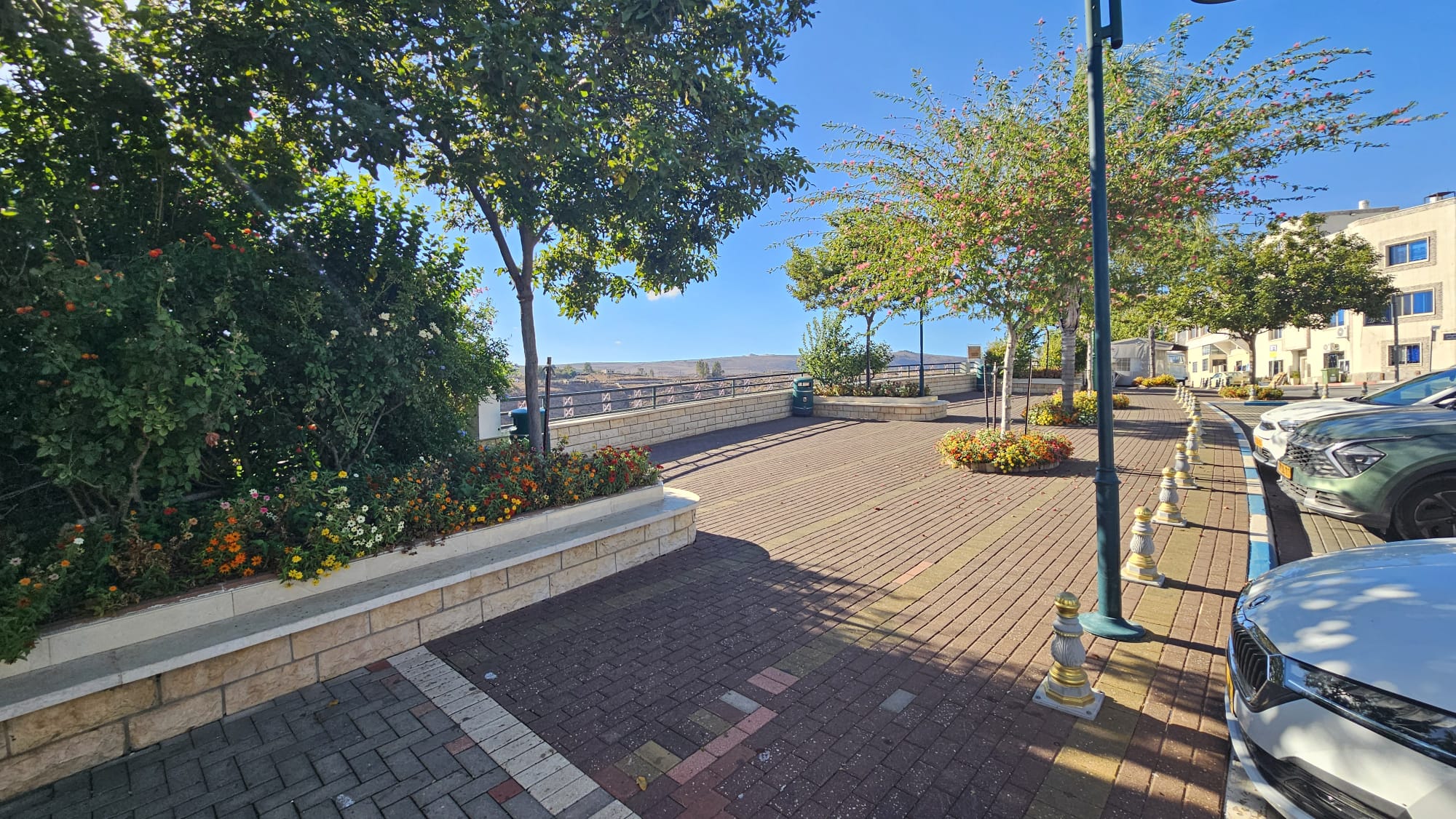 The Walkway over the Hasbani stream in my visit in Ghajar
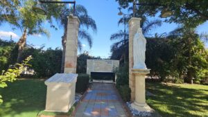
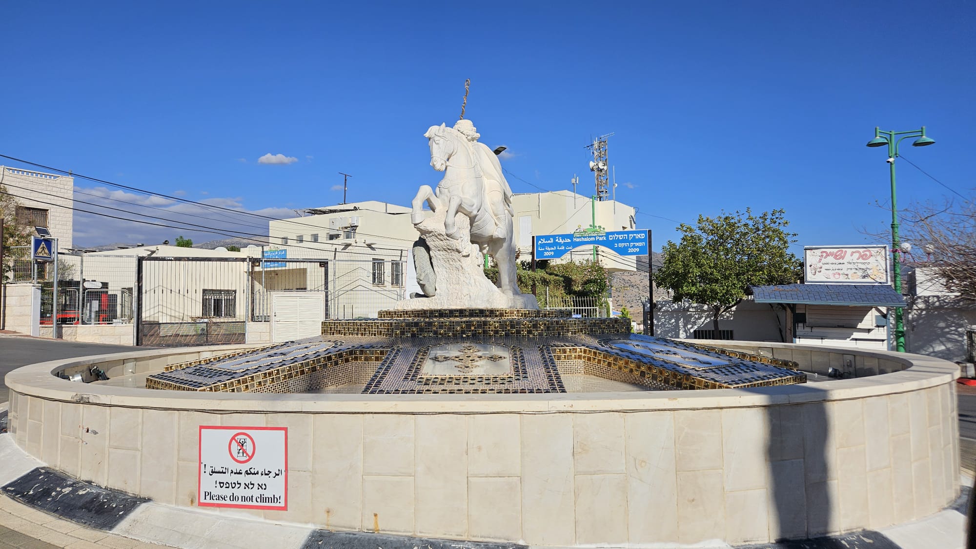 The satute of of Saint George, which the Alawites refer to as the El Hader, raiding his horse to kill the monster (or dragon). Next to the promenade over the Hasbani stream.
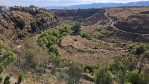
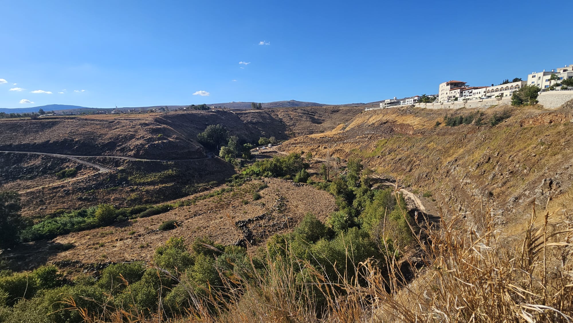
Panorama view from the walkway over the Hasbani river, the Wazzani springs and the flour mill on the stream
 The Wazzani springs
 Flour mill on Hasbani stream
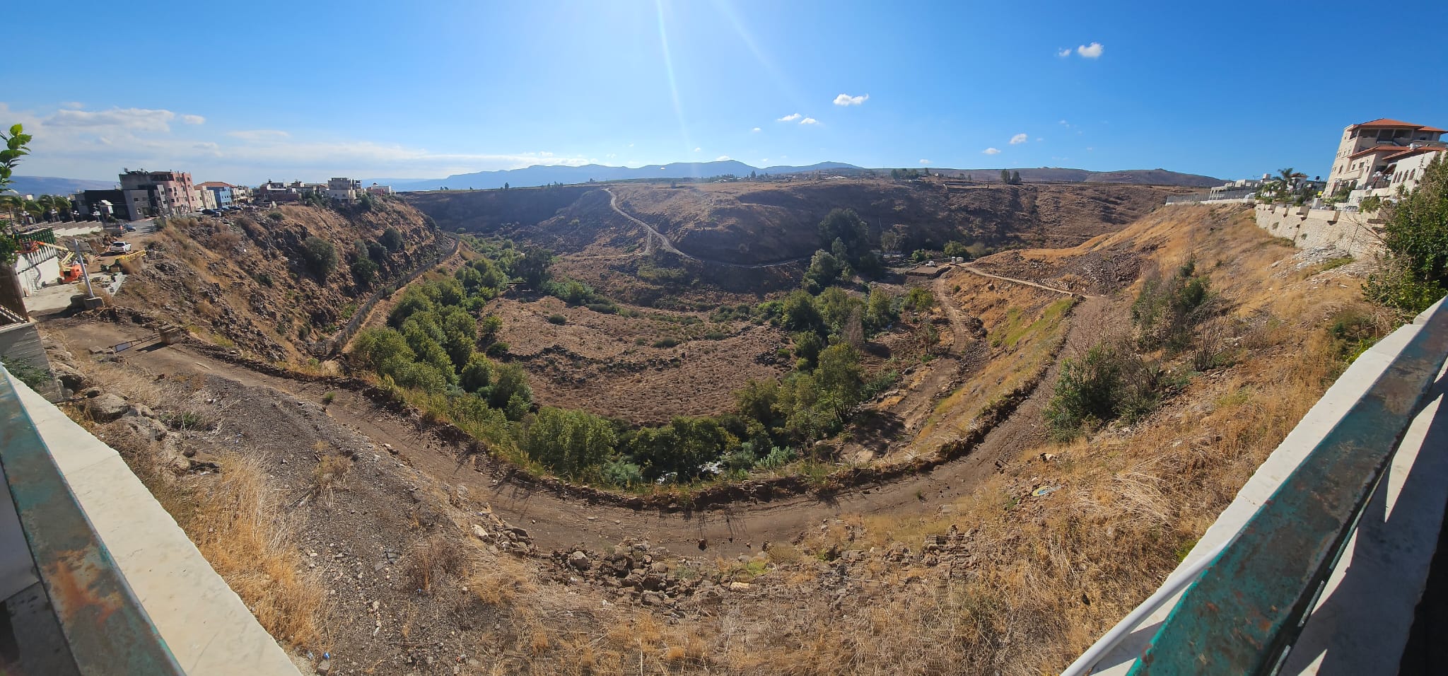 Panorama view from the walkway over the Hasbani river
 The statue of Imam Ali on the walkway above the Hasbani stream
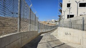
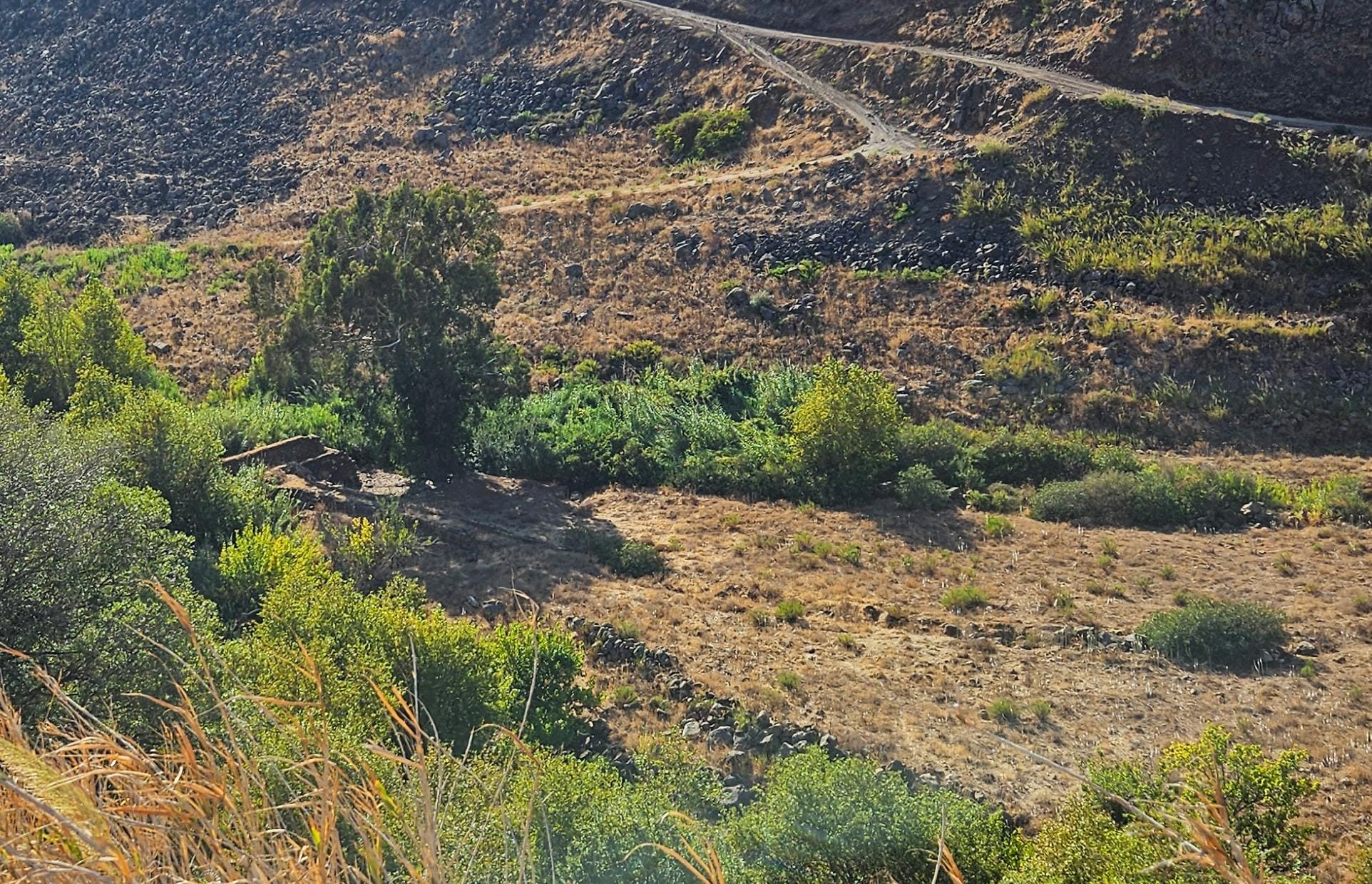
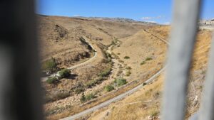
The road above the Hasbani stream north of the walkway, it is mostly a security road and not nice to walk
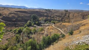
The UN post over the Hasbani stream on the dry part of it (north of the Wazzani spring). The Hasbani starts from the Haqzbieh’s springs (near Hasbaya in Lebanon), but those now mostly dry, and the part till the Wazzani spring only flows in the winter.
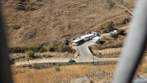
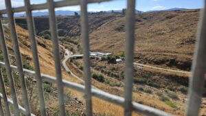
 UN guarding post on the Lebanon side
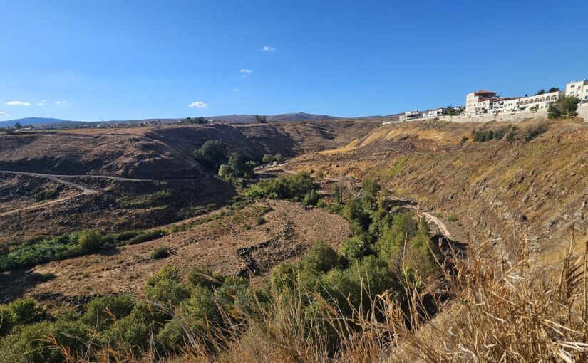
 Looking east on the Lebanon villages on mount Dov (last time I seen them was in when I was in El-Kiyham)
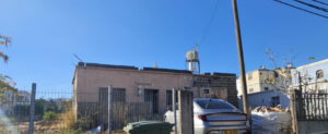
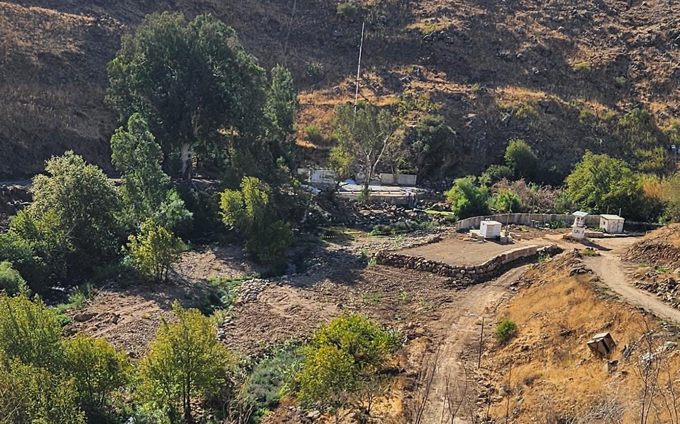
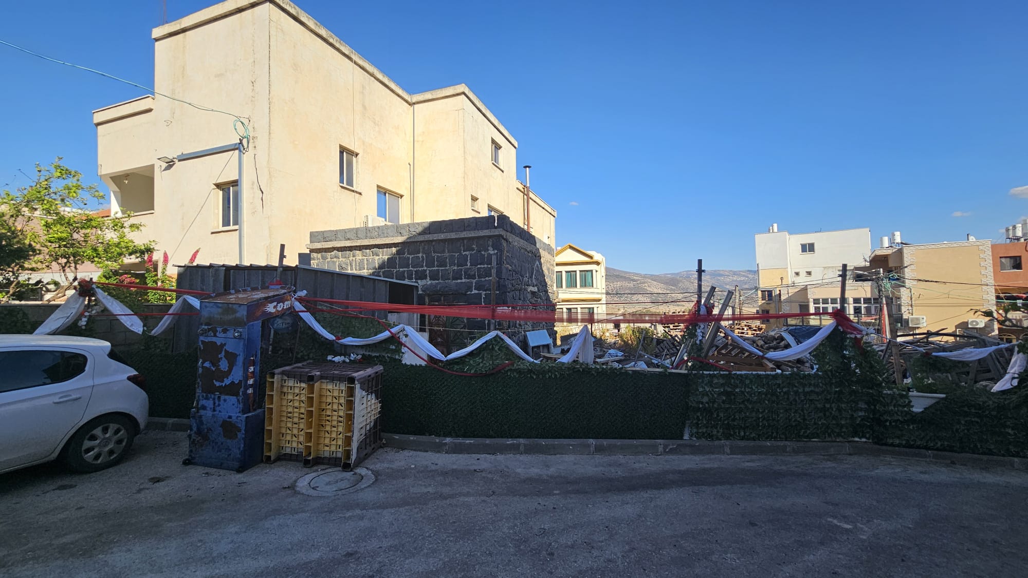
An old building made partly from Basalt stone in the northern part of the village
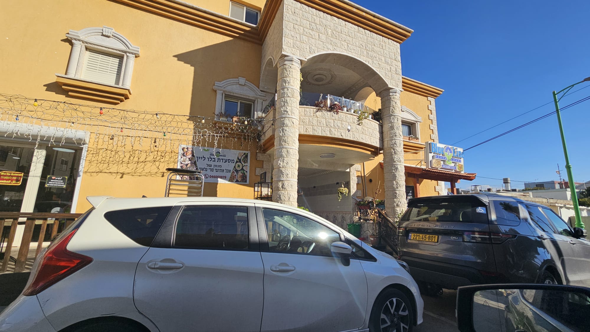 Blue Line restaurant in the north part of the village, which named over the Blue Line of the border between Israel and Lebanon which it sits on.
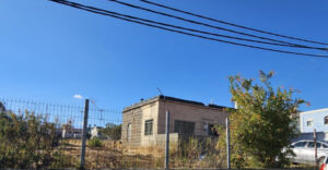
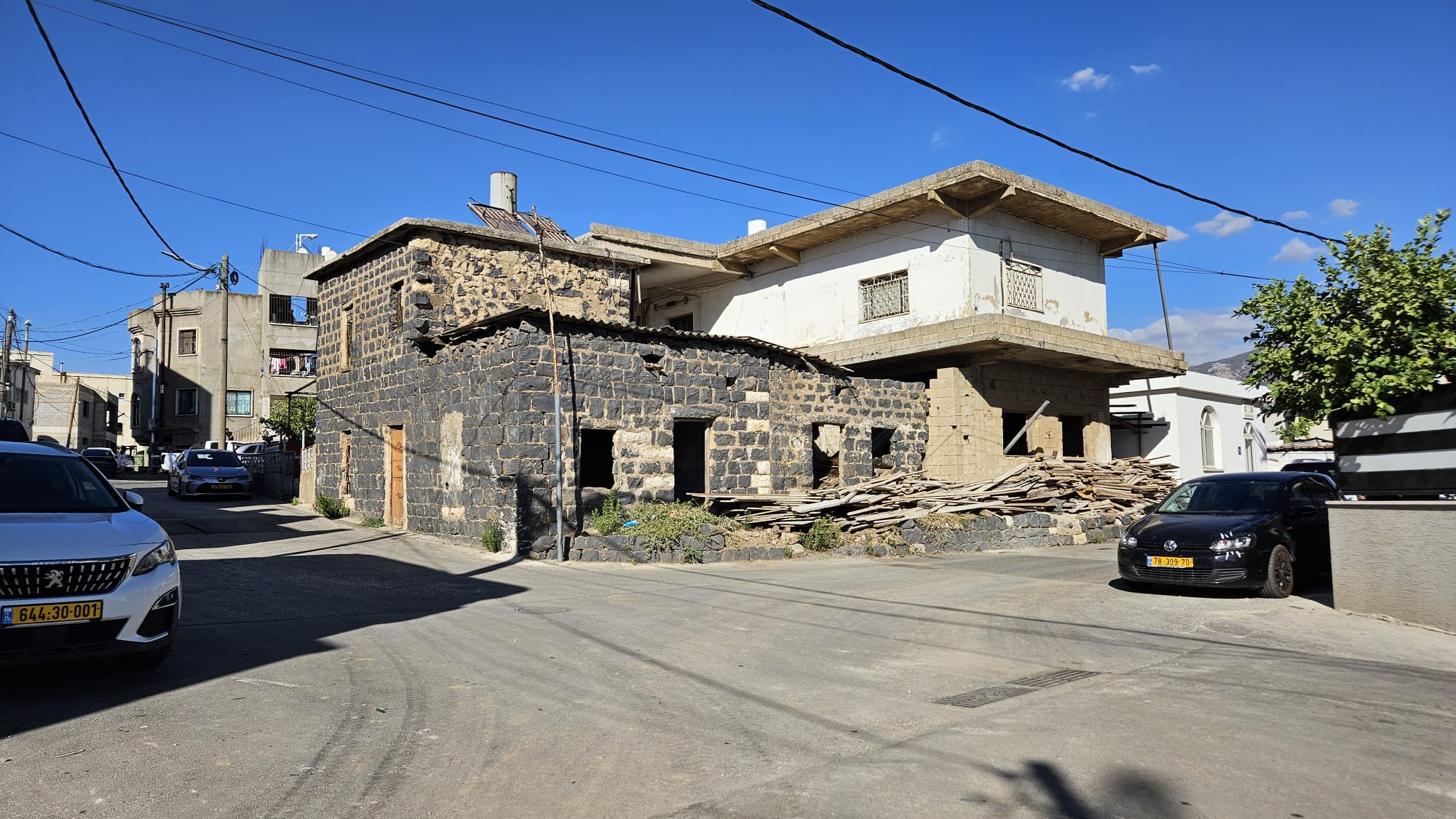 An old building made partly from Basalt stone in the southern (older) part of the village
 Another angle looking north on the Hasbani stream
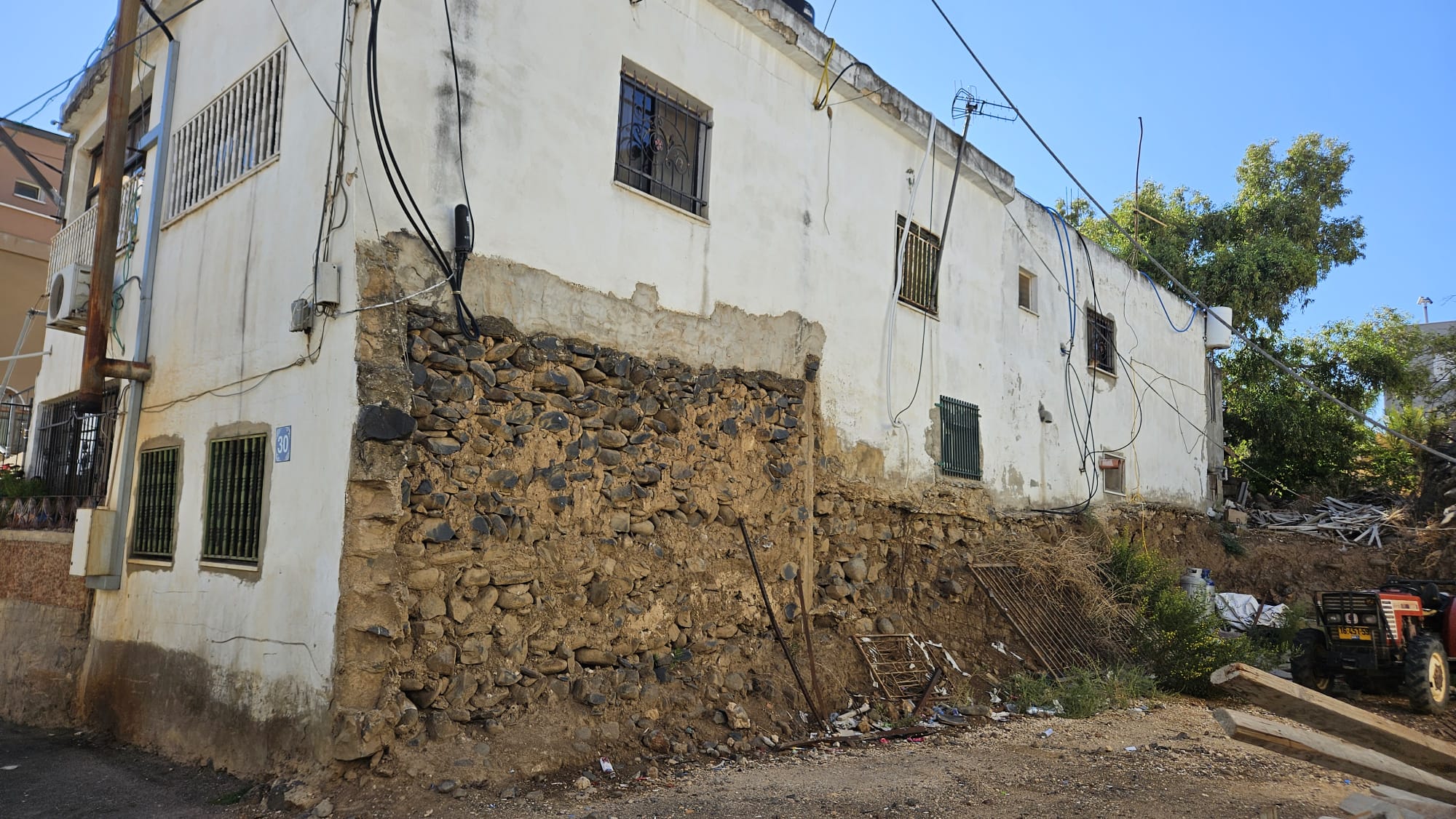 Newer part of a building on old Basalt stone foundations in the southern part
 The solid Basalt stone the village is built on
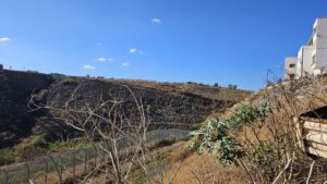
A look on the Hasbani on the south part of Village
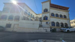
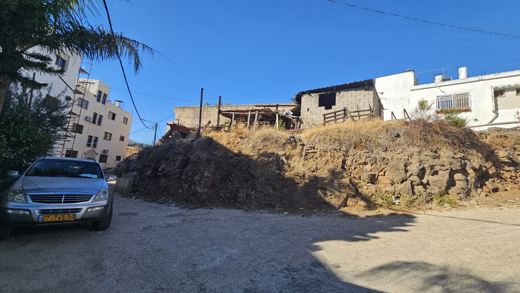
Couple of new buildings in the village
 New building on top of an old one
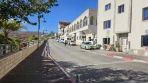
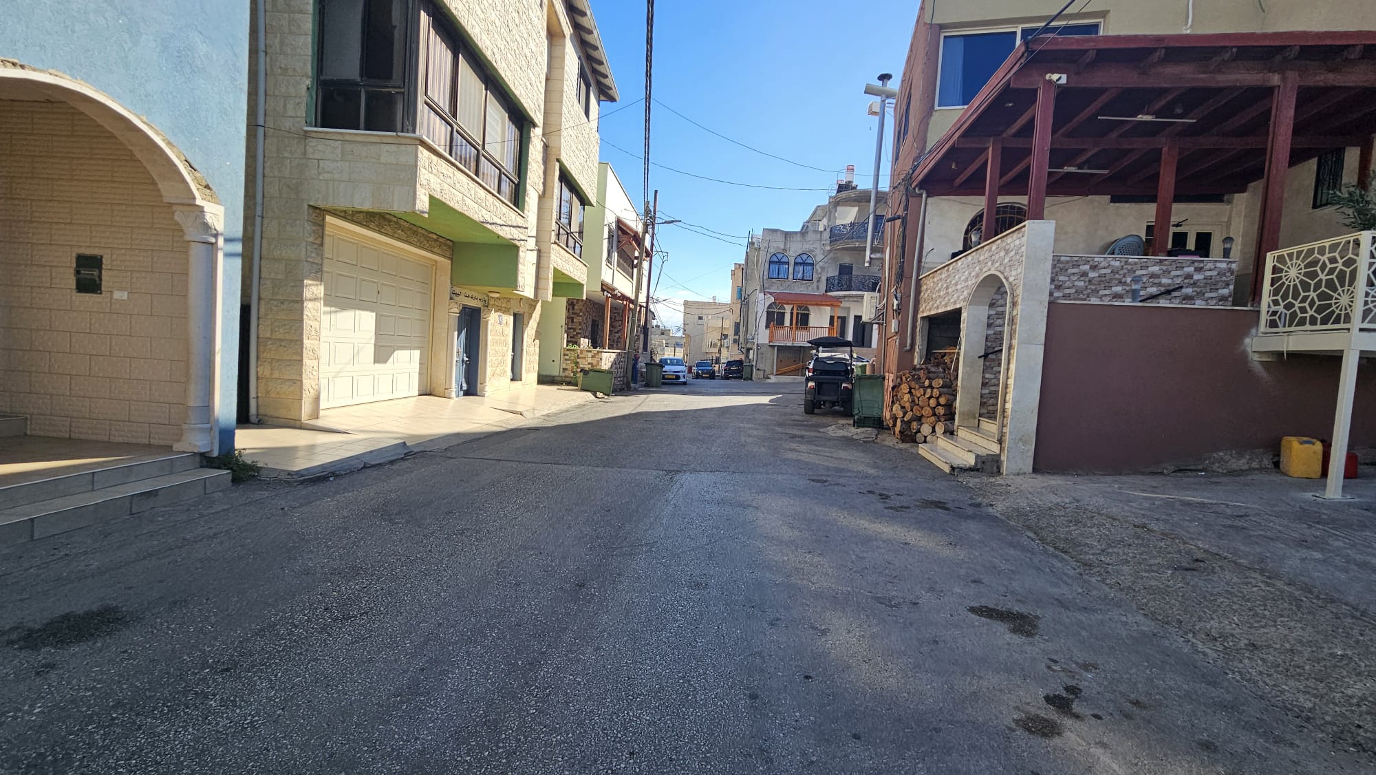 The village is Alawit, and like many villages in Israel it is built without a clear plan, for example you can see there are no sidewalks.
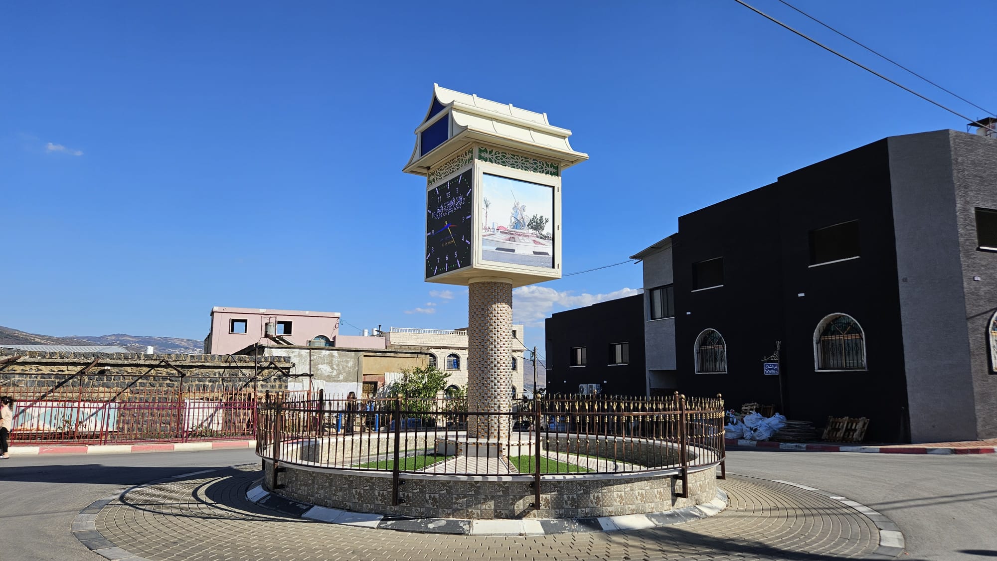 A clock tower on the southern part of the Hasbani walkway
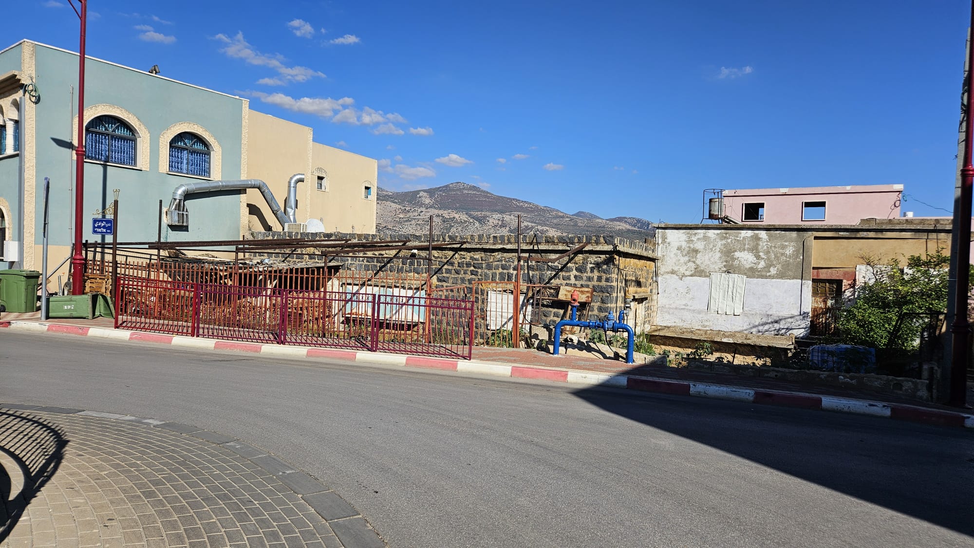 An old Basalt stone building near the watch tower
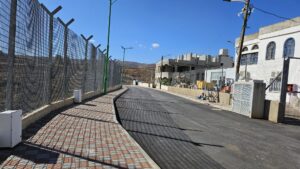
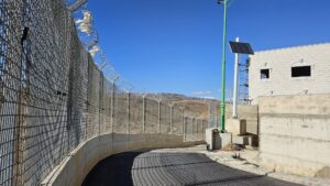
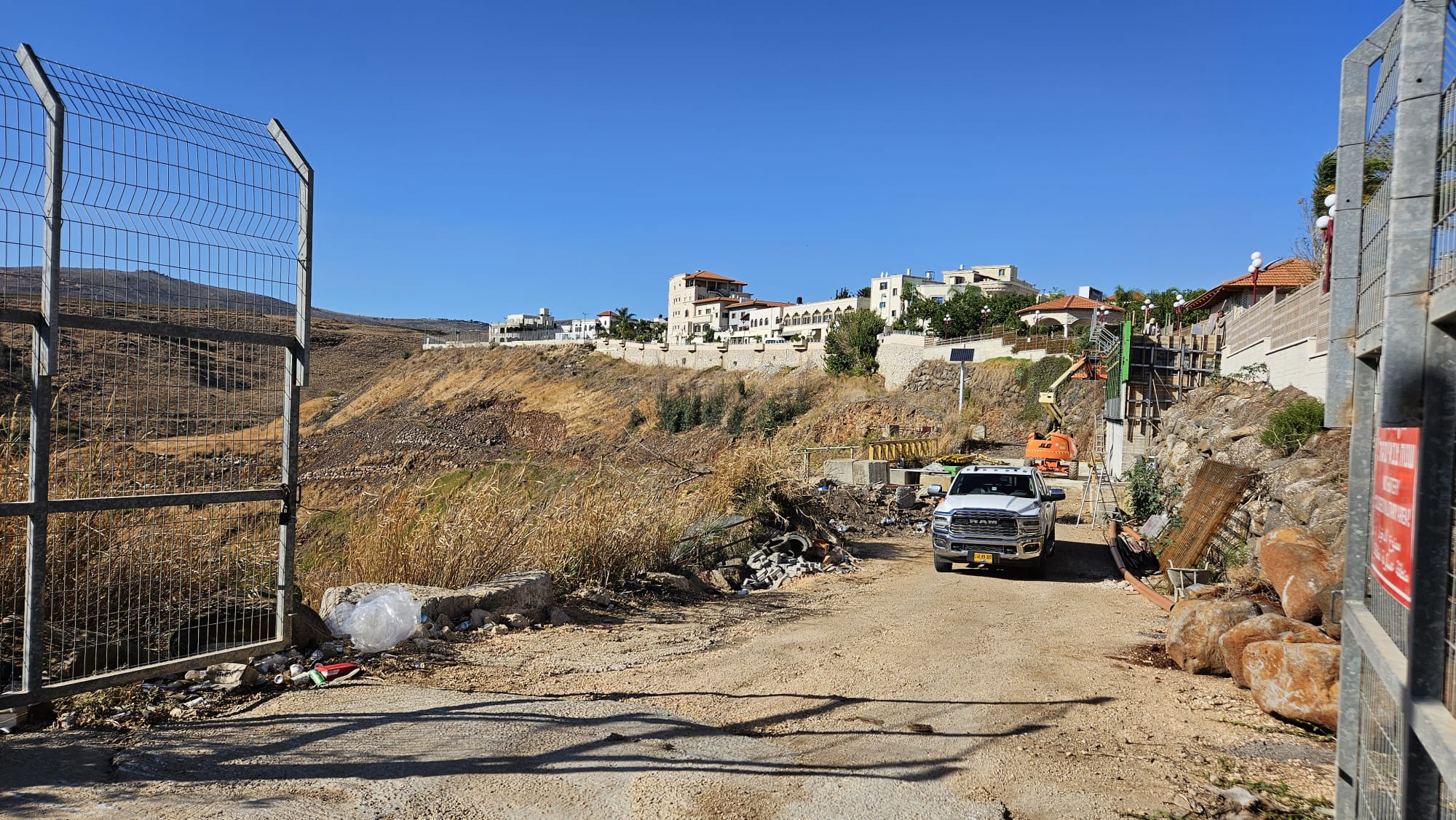 The gate on the road to the Hasbani, which was open in my visit in Ghajar, for construction work on the walkway
 Looking east, this pretty much where the border line between Israel and Lebanon passed
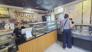
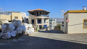
I had to get in Al-Khatib Sweets to buy some Knafeh for the for my sister in law for hospitality and for Atzva for keeping an eye on the kids and allow me to visit Ghajar
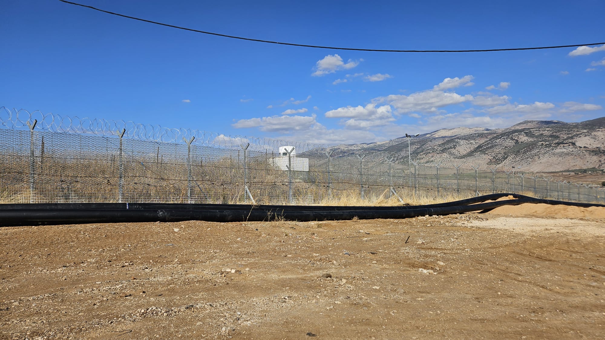
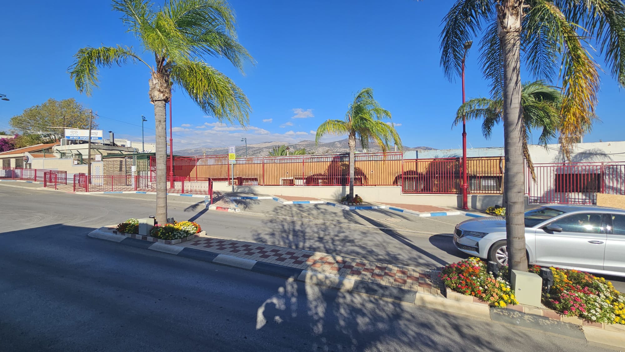
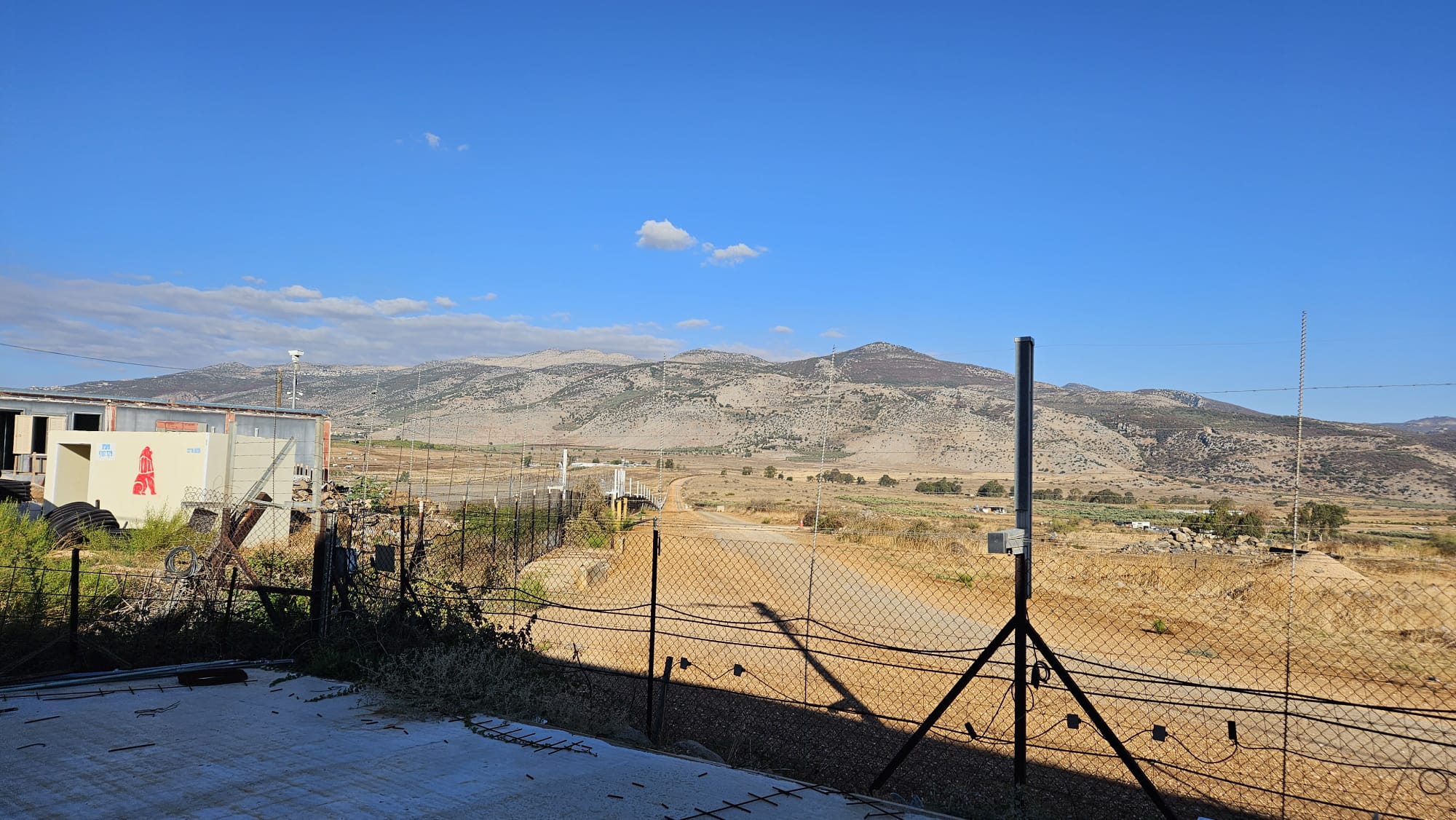 Israel-Lebanon border from Al-Khatib Sweets. you can see how the straight line of the border split to the north (south) and right (south) to go around the village (on the moveable protected area building you can see the Emergency Response Team of Kfar Giladi)
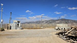
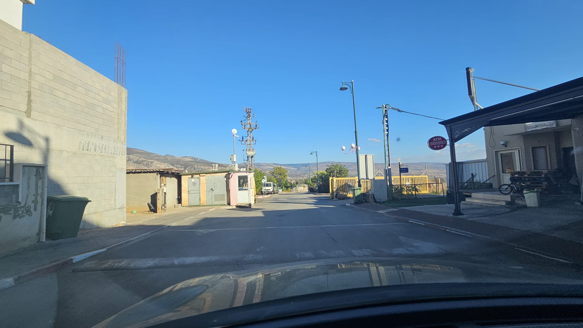 The gate of Ghajar on the way out, which used to be closed by IDF to prevent access to the village
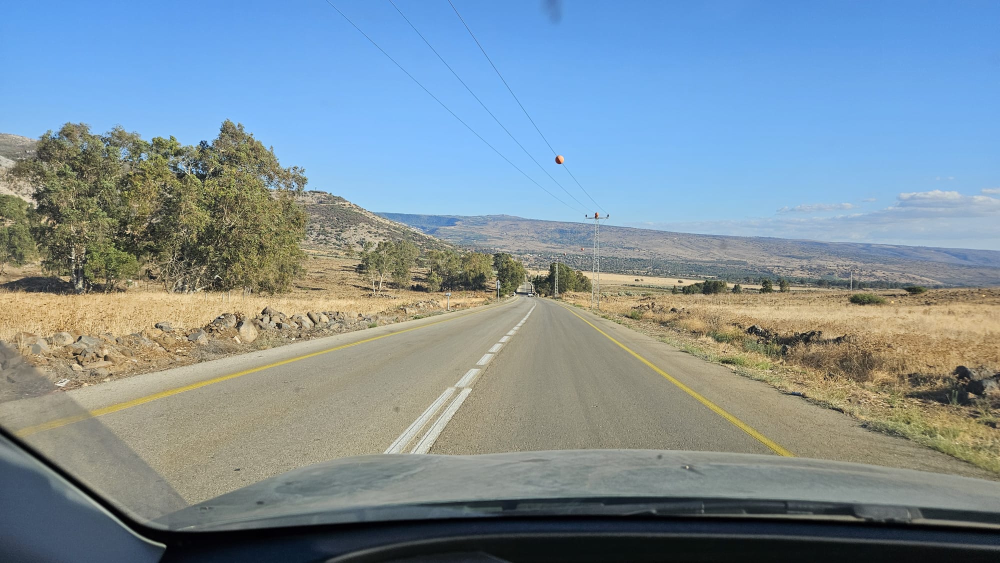
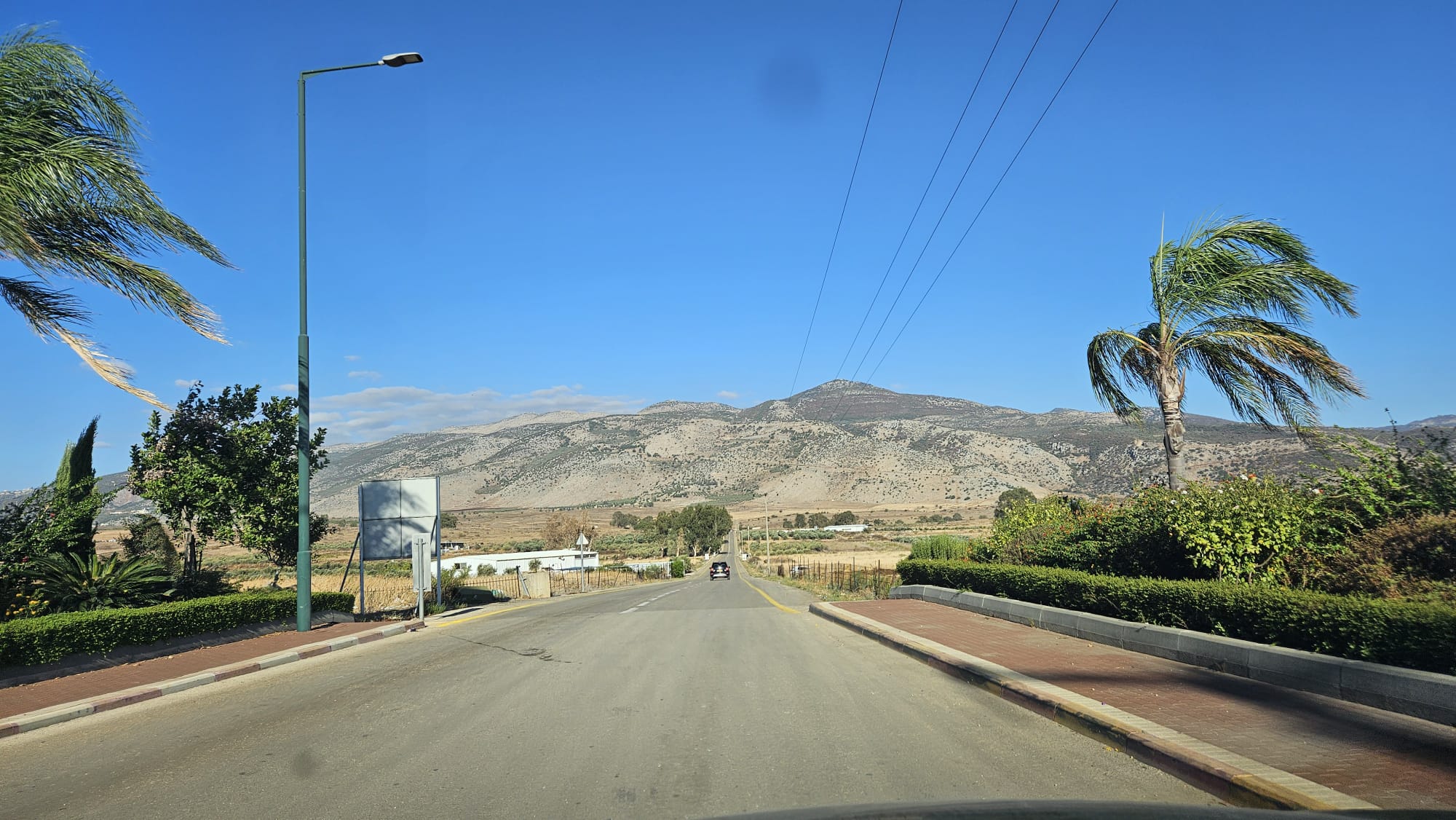 The straight road back from Ghajar, Mount Dov in front and Mount Hermon behind it
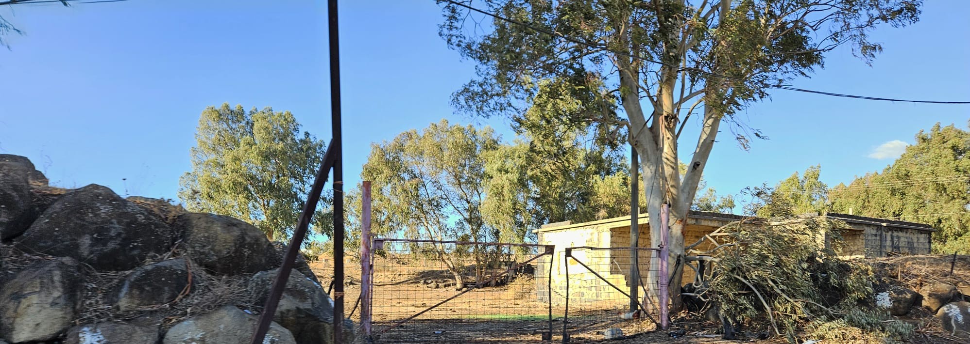 A house of one of the farms on the way from Ghajar
 After turning right, straight all the way to the Tank junction, with mount Dov on the left
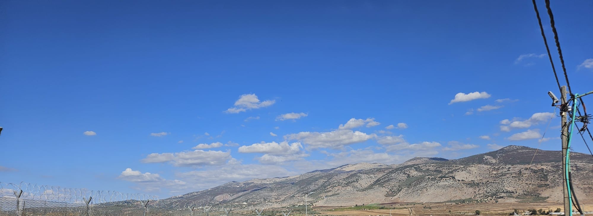
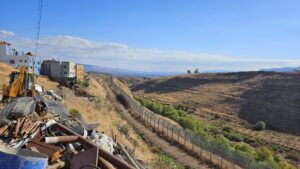
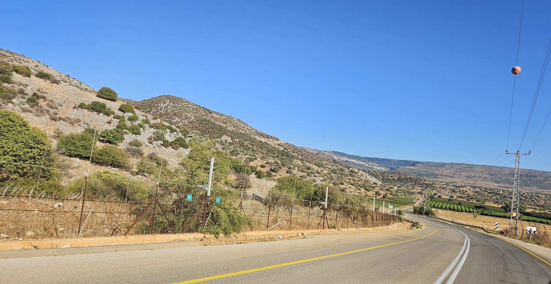 Driving back, with the Israel border fence on the left (the border itself is much further)
loading map - please wait...