

Mezar stream, Israel
Hi,
We went to a weekend of food, cigarettes and drinking after the new mother in our group of friends, could finally drink and smoke.
I decided that it is a good chance to run in Mezar creek in the South of the Golan Heights.
It took me some time to understand it was a mistake to run down the creek, lucky me I took a map from the entrance to the creek, and decided that I would take the longer but easier paved road back to the car….
The map was out of scale, so the 9 or 10 km on map were actually 23km (!). Add to that the fact the my coughing became a pain in the chest that made my breathing shallow.
It wasn’t such a great pleasure. I hope you’ll at least Enjoy the pics =)
Take Care
Gad
P.S.
It didn’t worked last time =/, so now we take the next step up =)
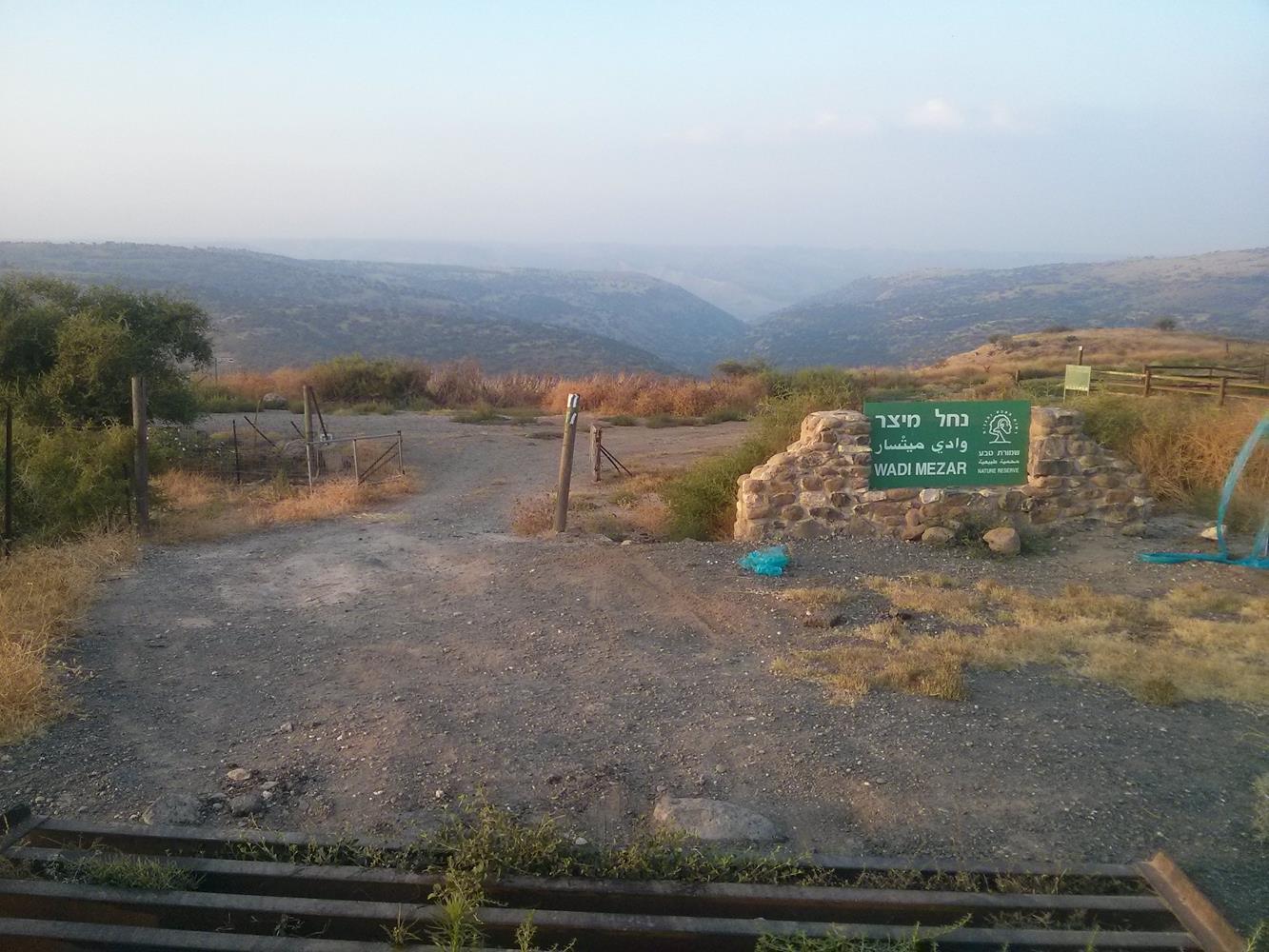
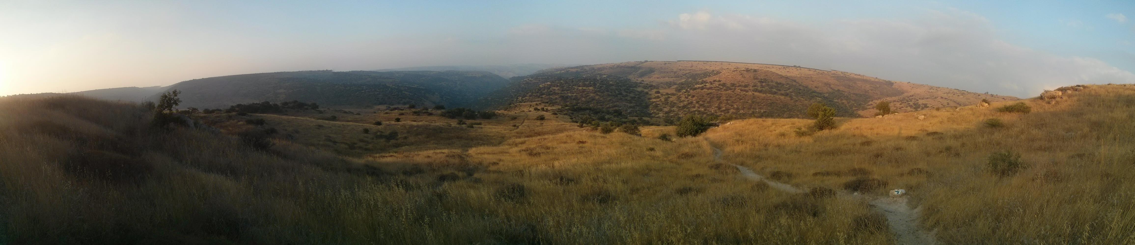
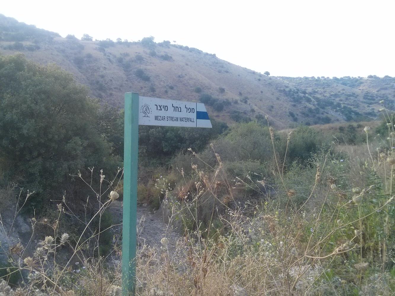
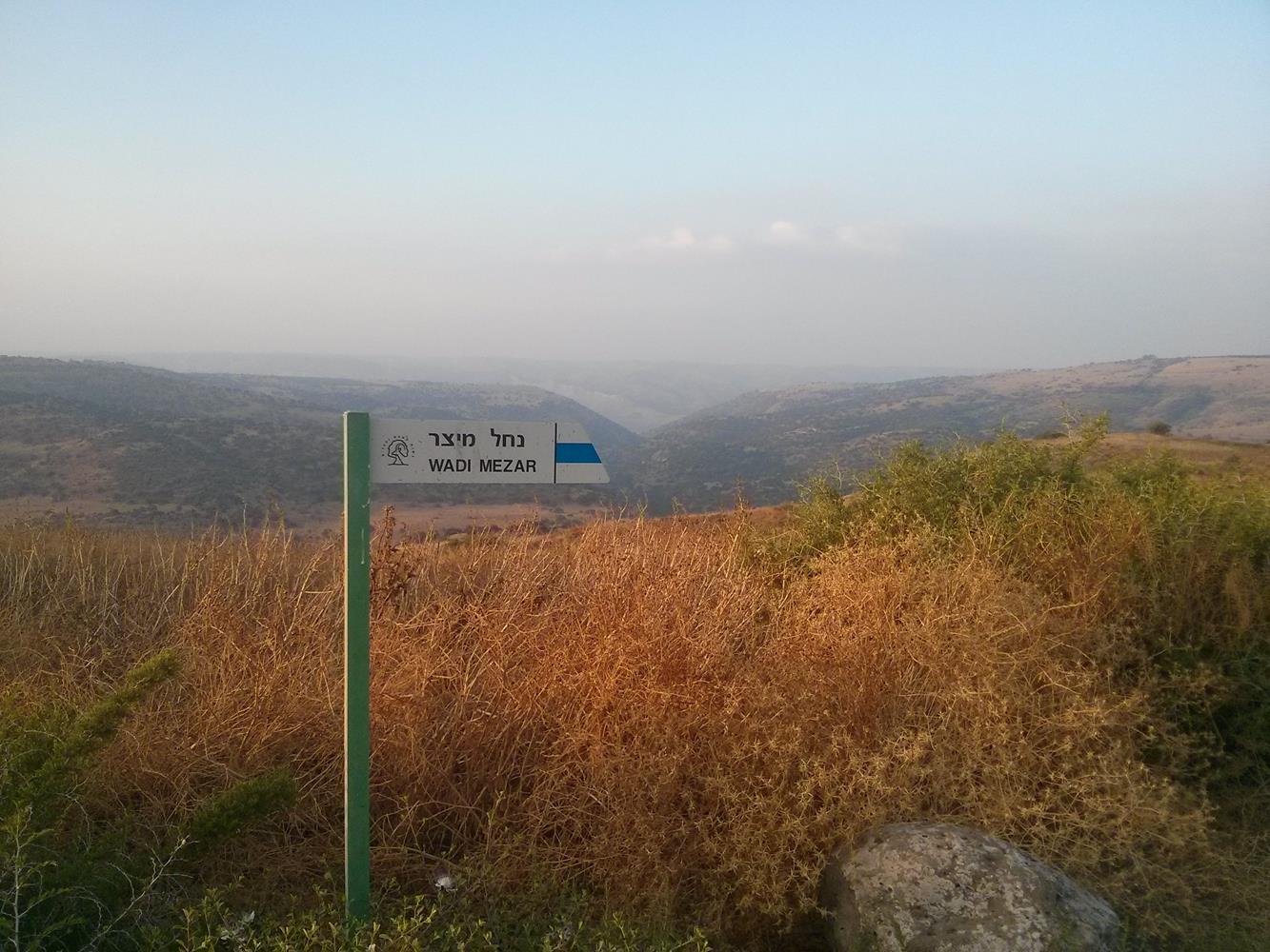 The entrance to Mezar creek, and the sign of the trail.
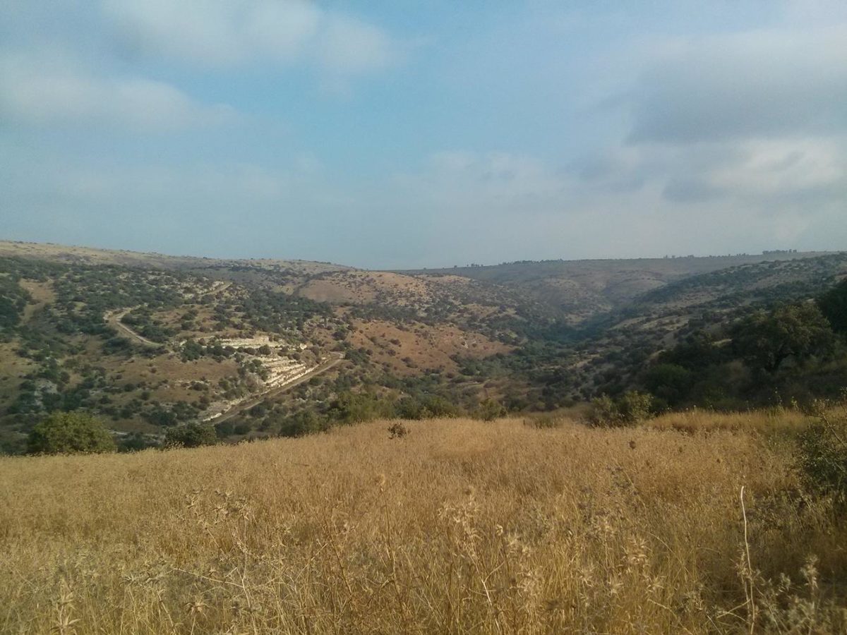
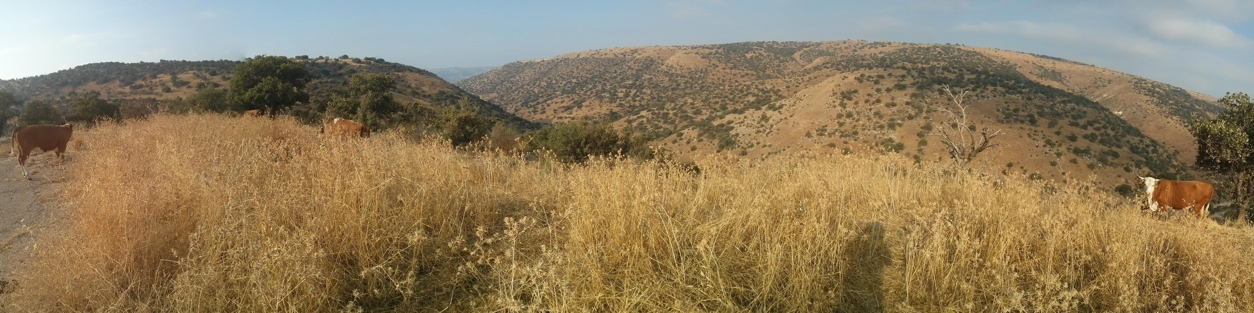
The mountains in the distance are the Gilead mountains
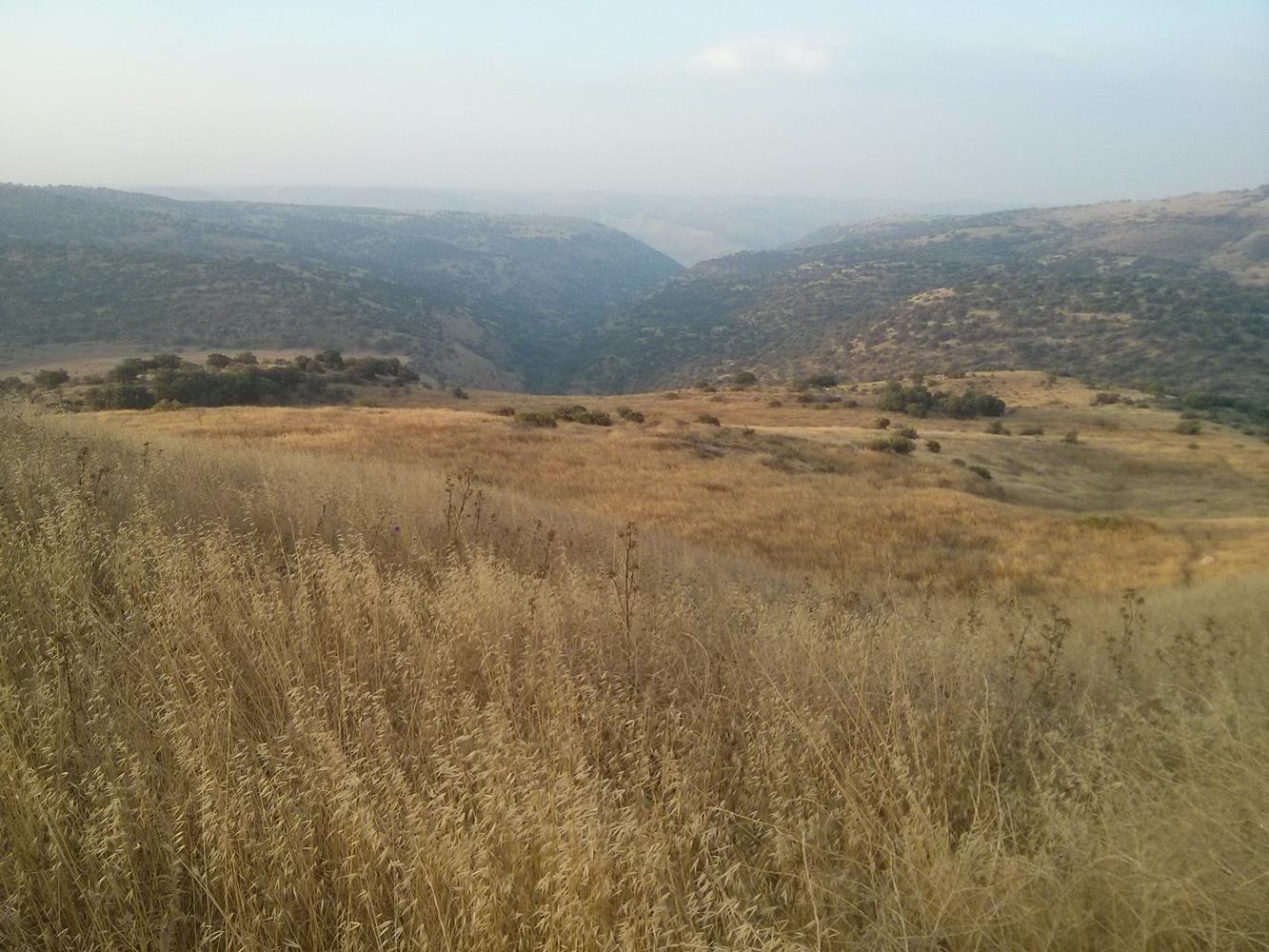
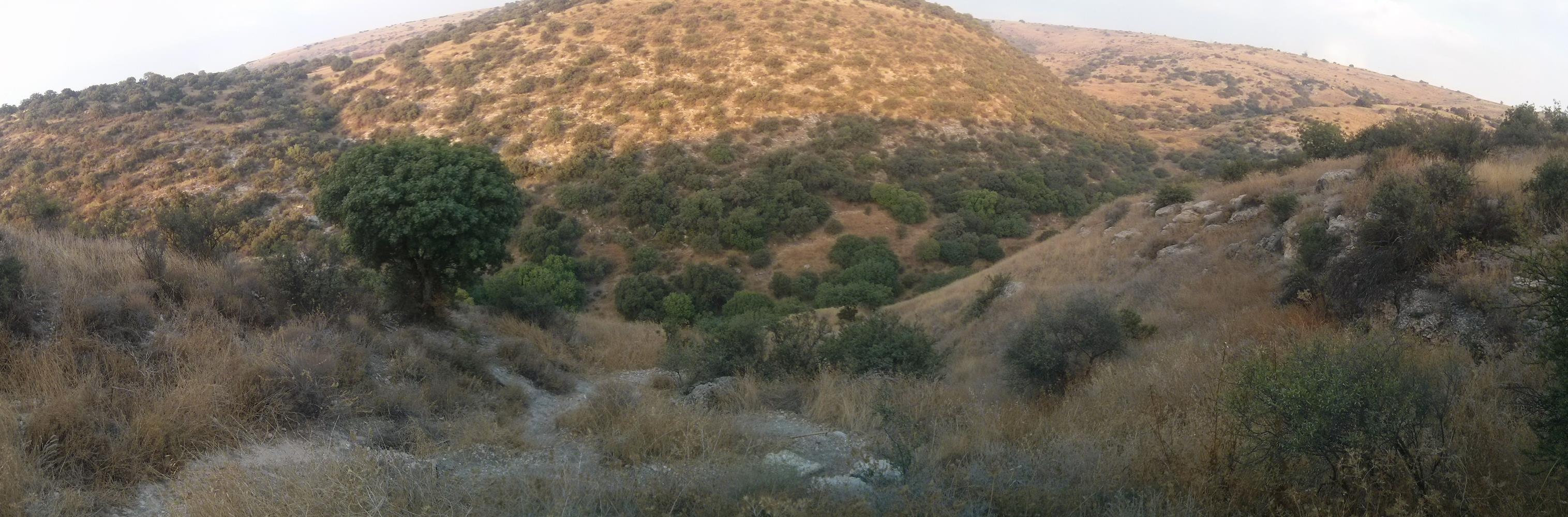
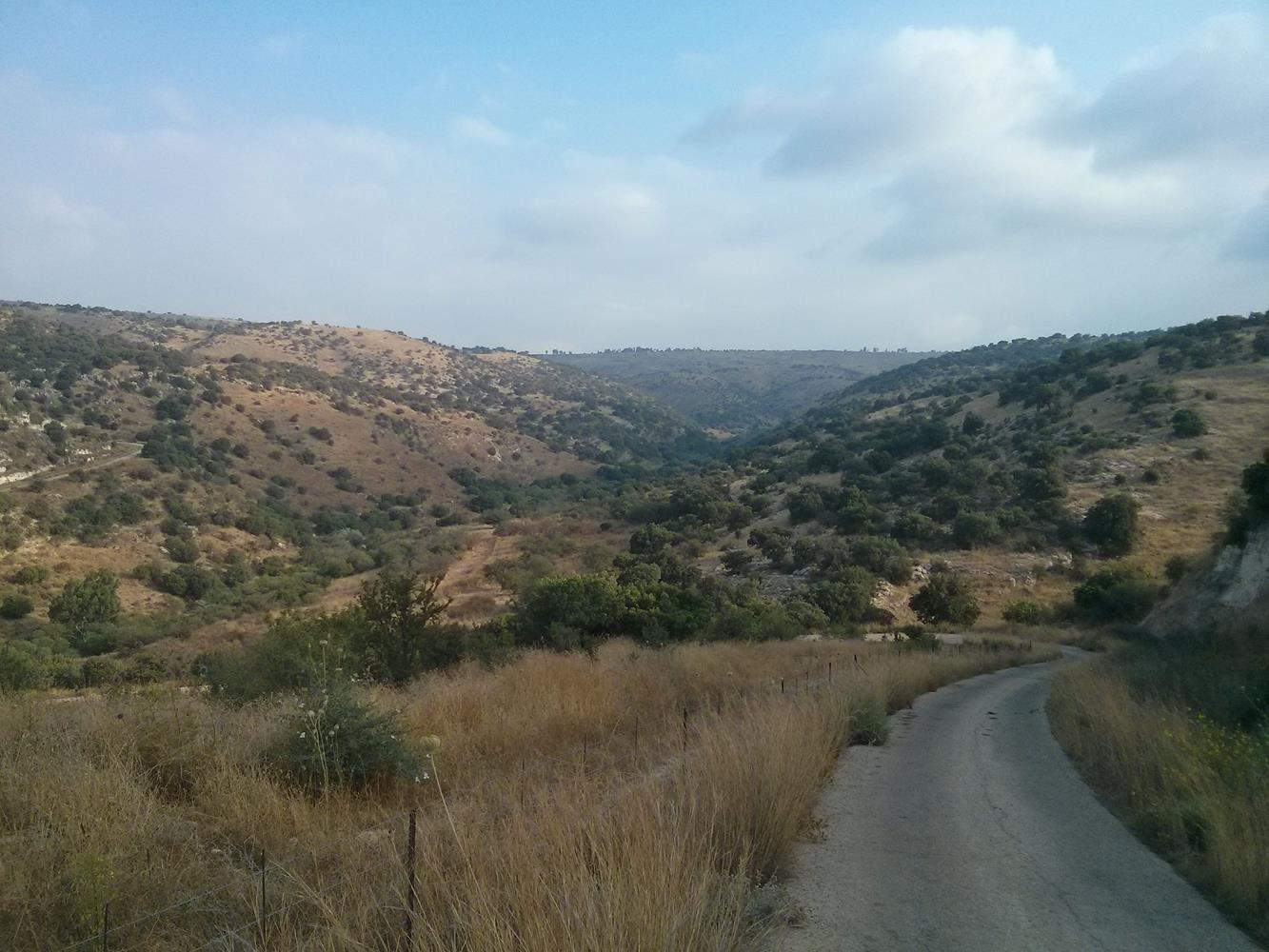
 Mezar creek.
 Barbara creek, that feed the Mezar creek.
I don’t know were that creek got its name from, but it described pretty well me situation:
Barbara Procedure in the IDF mean that you got lost….
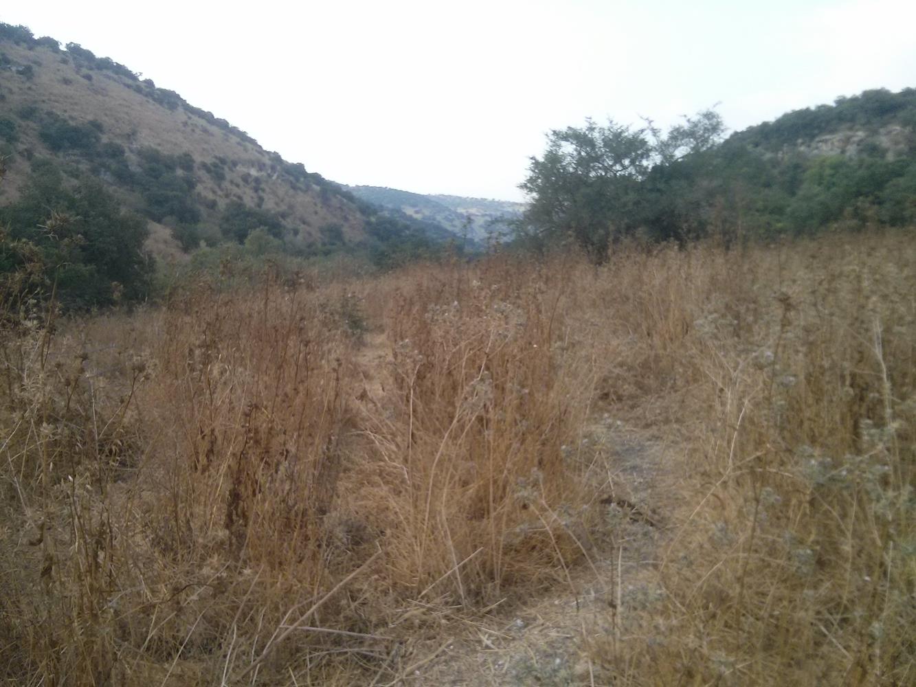
And from here on I pretty much lost the trail and just run the stream =)
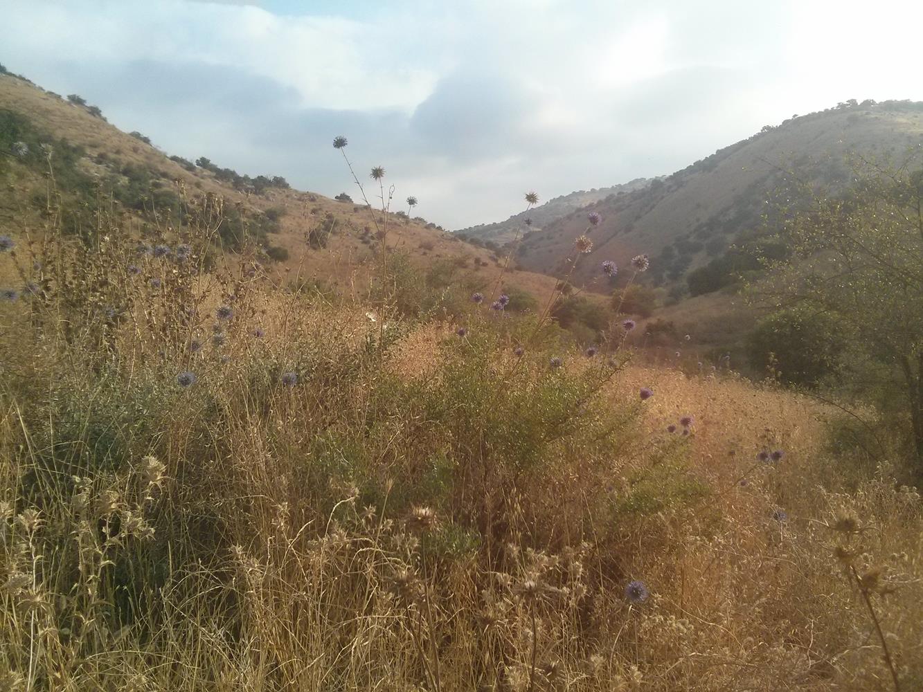 A typical view of Mezar creek: Thistle. Big, high thistles.
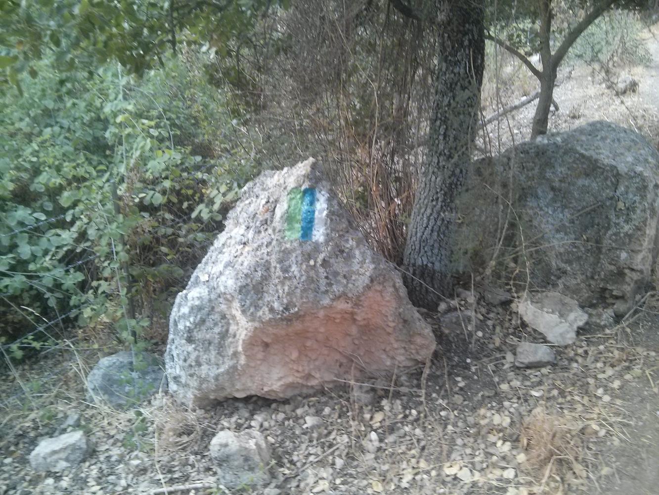 The Golan Trail mark – The trail cross the Golan heights from North to South.
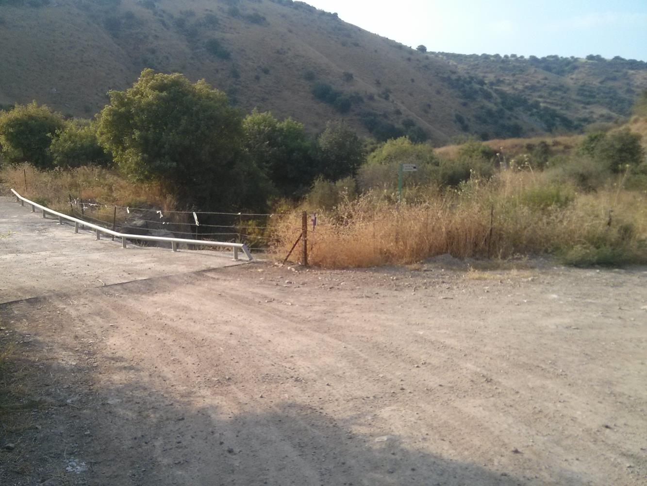 The sign to Mezar waterfall, and the road that cross the creek and goes up
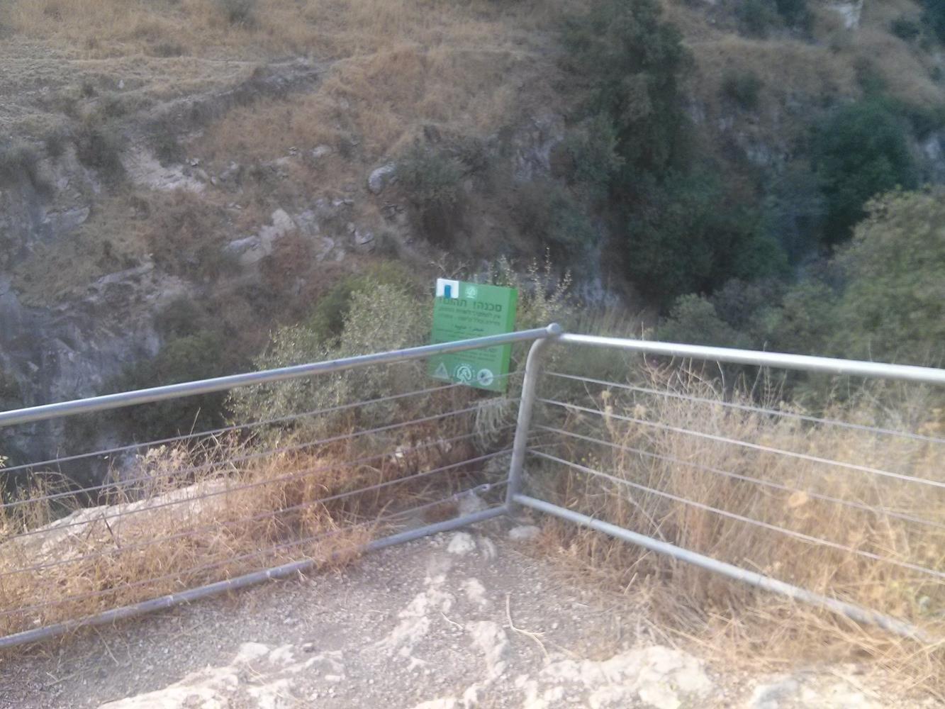 The end of the trail and the balcony that watch over the (now dry) waterfall.
The creek ends in the Yarmuk River,but you can’t go to it, because you get to the border first.
With all those thistles, I didn’t even thought of getting lower.
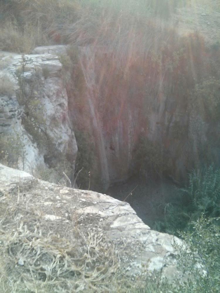
 The Waterfall! 9 meter high
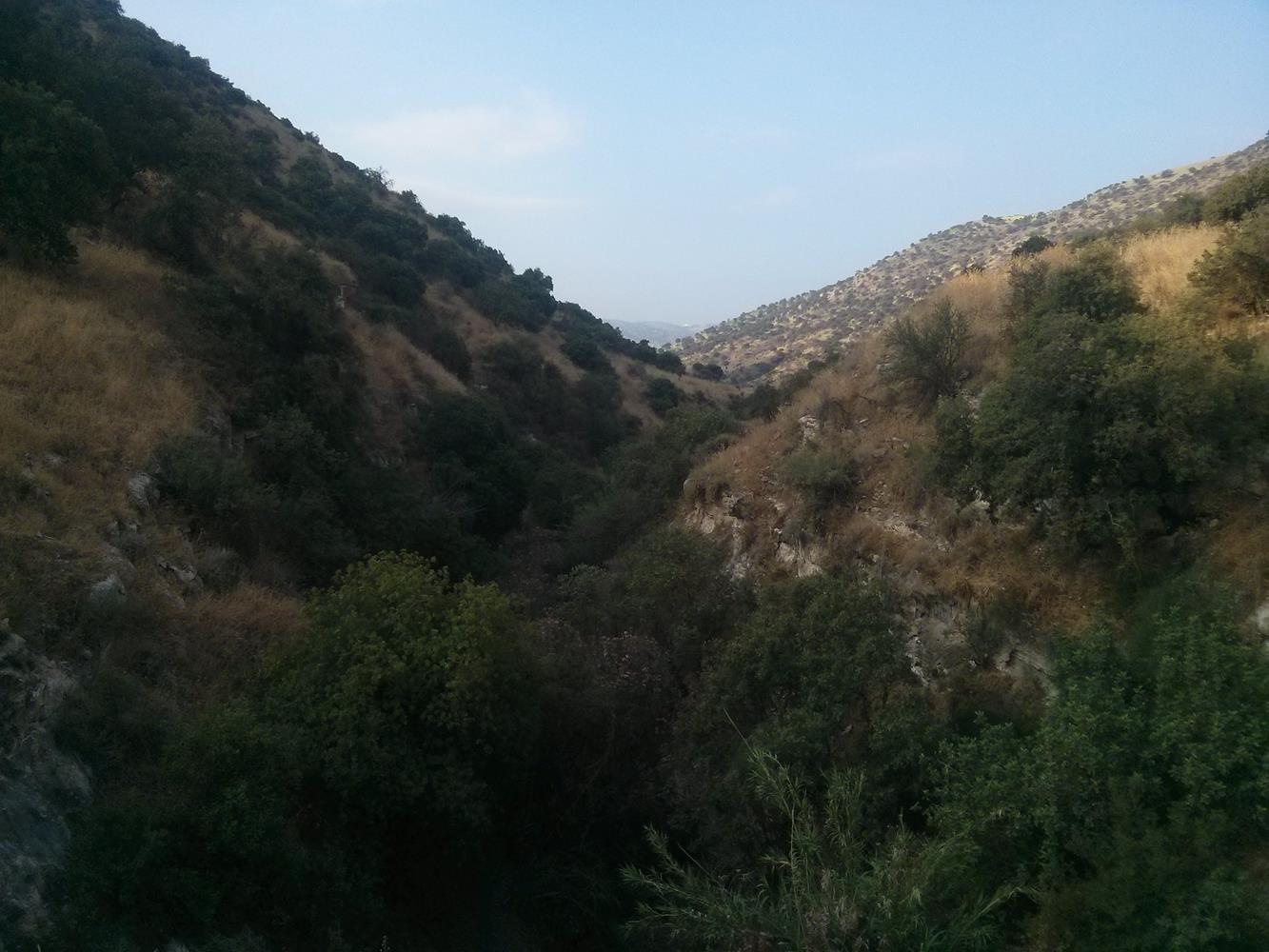
And the rest of the creek (6 km more to the border)
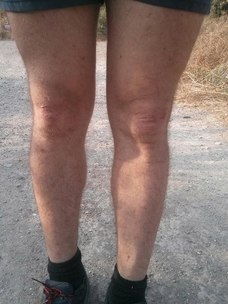 My legs after going out of the stream….
Red and hurt.
 Upper Mezar creek…
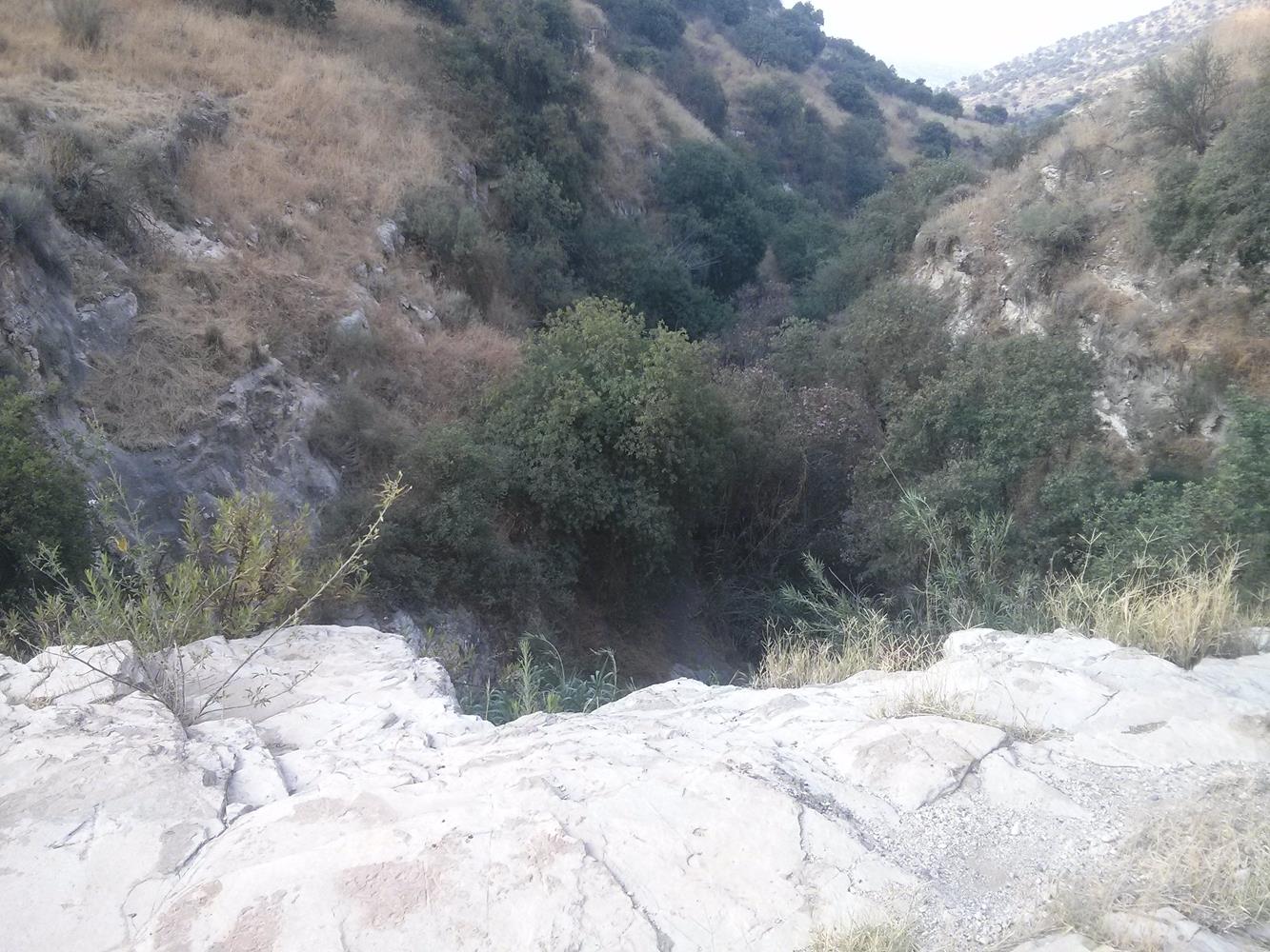
 …And Lower Mezar creek.
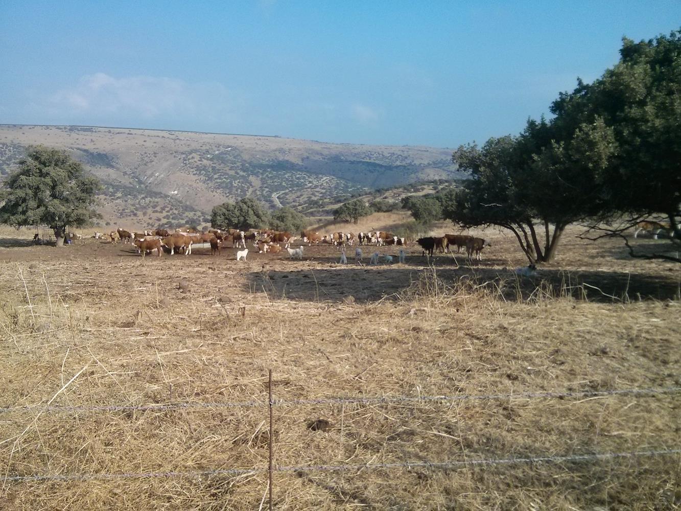 More watching dogs than cows…
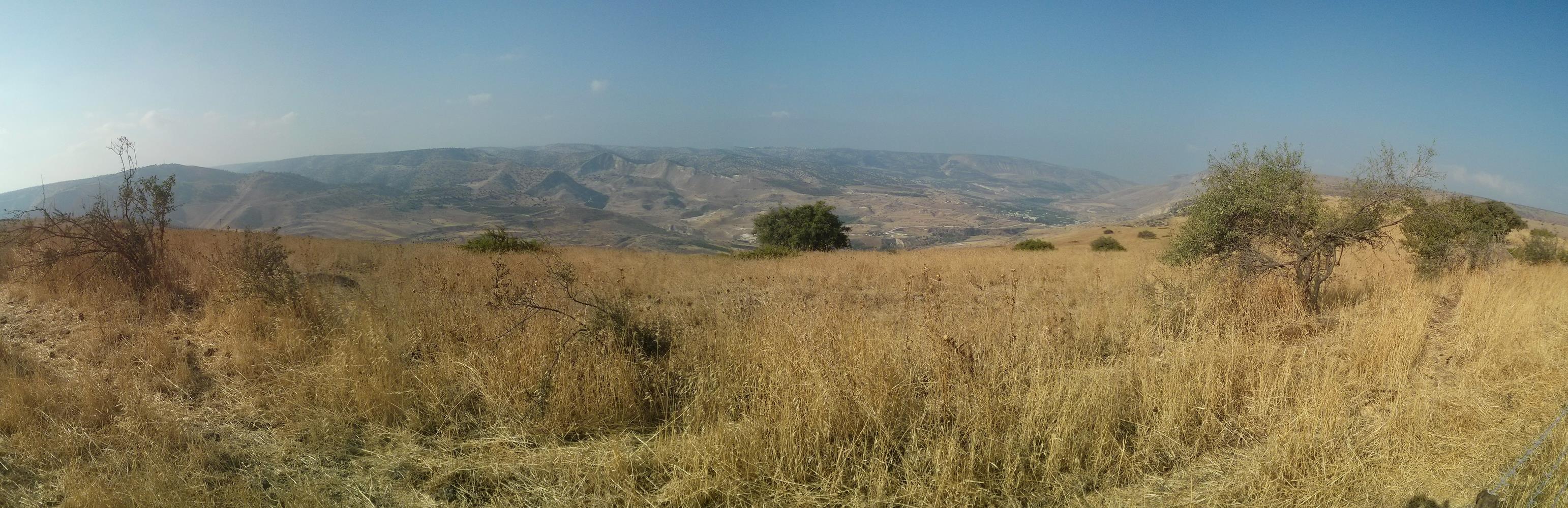 Gilad Mountains and the valley of the Yarmuk river.
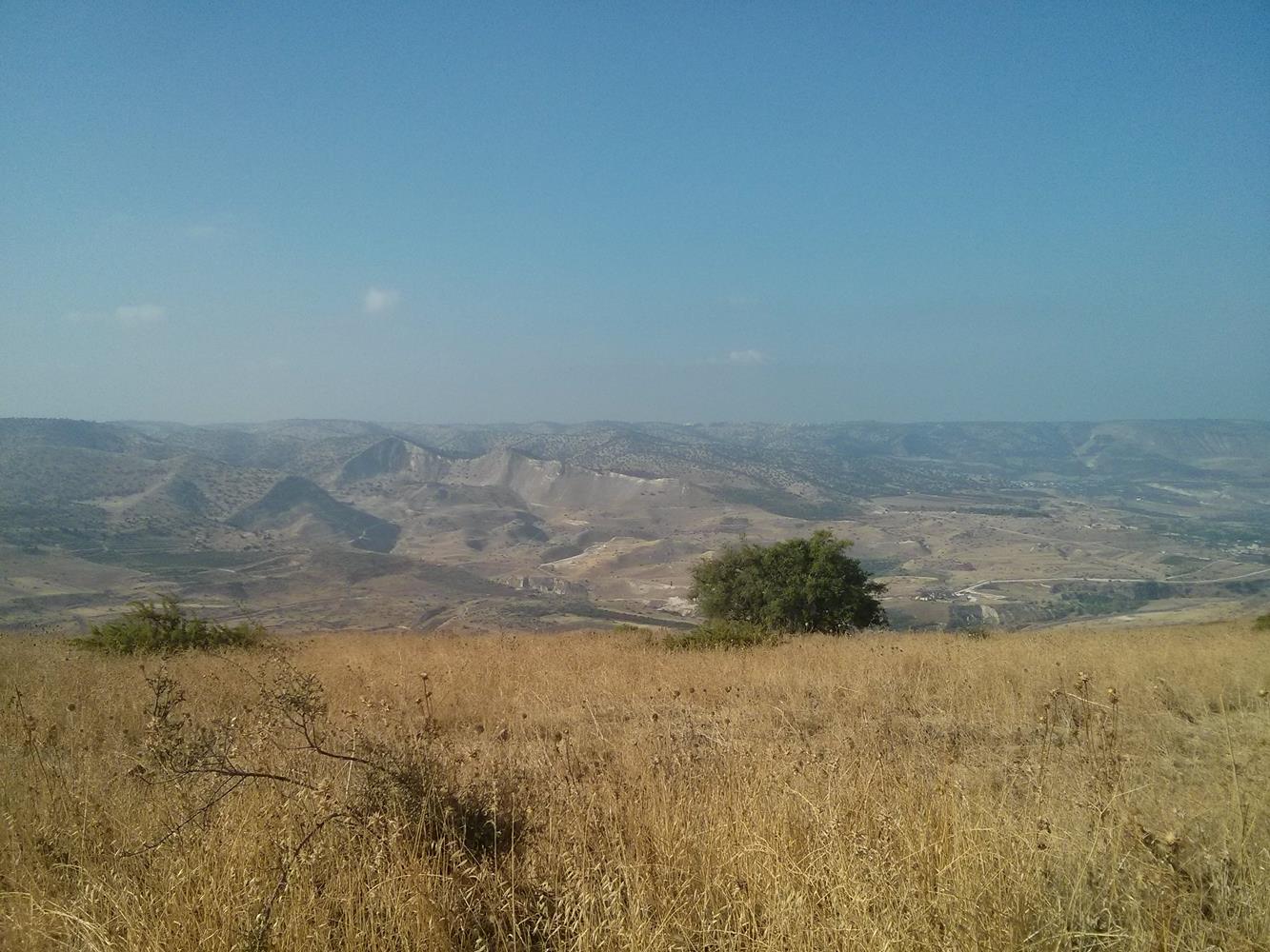
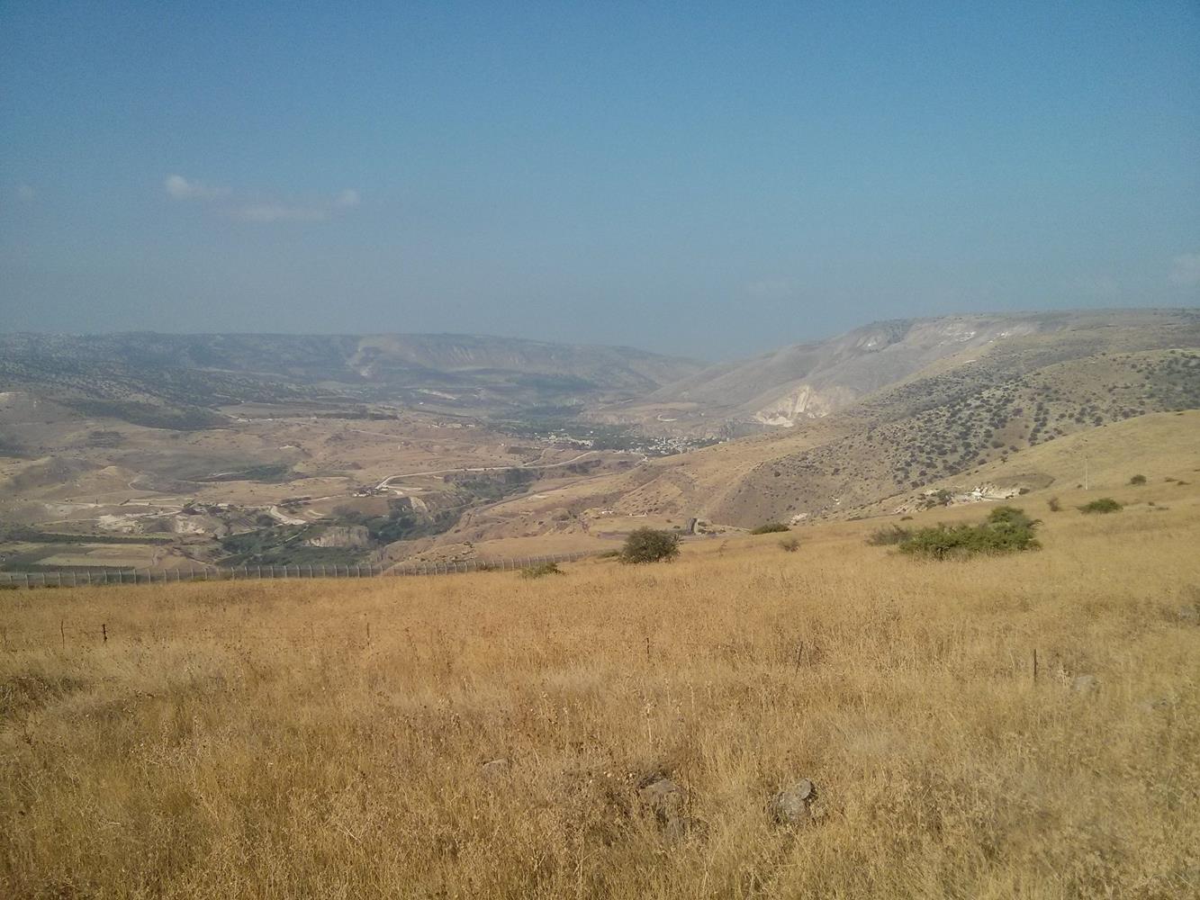 The area of Hamat Gader
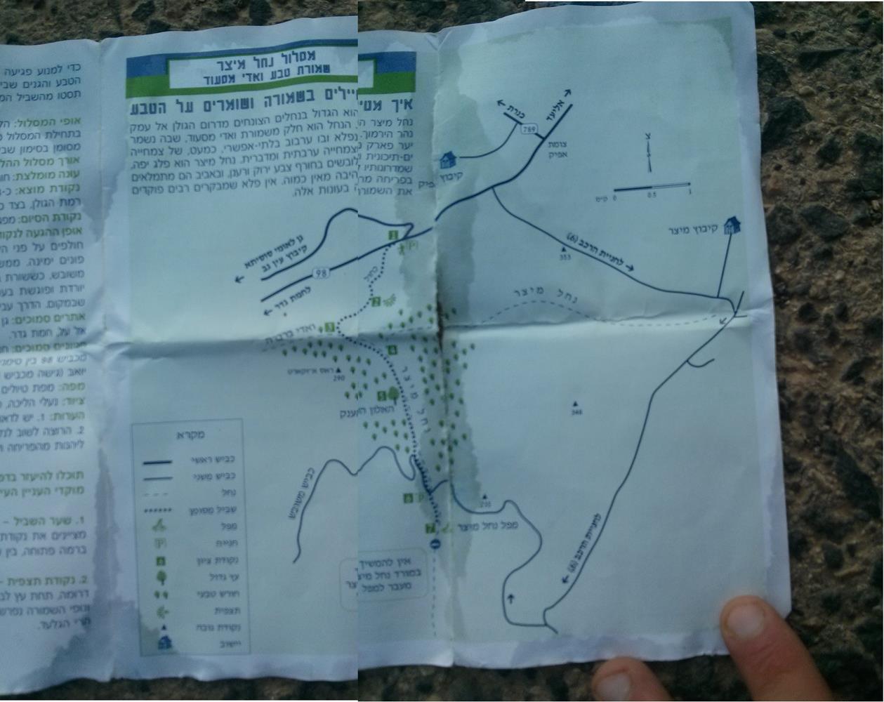 The map that made me run a lot more than I planned:
The dotted line (connects points 1 and 7) in the middle is 3 km.
But the longer and full line (connects points 1 and 7) on the right is 23 km(!)…